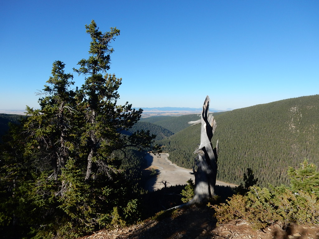
Big Spring Creek
- 34.1 mi
- distance
- 4,234 ft
- high point
- Jul–Sep
- best months
Clear today
Weather is good · usgs_nwis, OpenWeather · checked just now
Big Spring Creek is a 34-mile paddling route in central Montana, about 1.4 miles from West Lewistown, the nearest community. It's a year-round waterway, and USGS models put its average flow at about 98 cubic feet per second with a gradient of roughly 24.6 feet per mile. Summer is the most comfortable time to paddle. Typical averages from the Lewistown airport weather station, about 3.7 miles away, run to highs near 82°F in July and 81°F in August, with July lows around 51°F. Winters are cold, with January highs averaging about 34°F. Cottonwood Creek, another paddling option, lies about 7 miles from Big Spring Creek.
Source: Roamze catalog (indexable pages within 10 miles, PostGIS distance)
- Cottonwood CreekCanoeing · ~12 min drive
- Crystal Lake Boat LaunchBoat launch · ~35 min drive
- Big Rock CreekCanoeing · ~21 min drive
- Stafford FerryBoat launch · ~1h 16m drive
- East Fork Big Spring CreekCanoeing · ~23 min drive
- Judith Landing BLM Boat LaunchBoat launch · ~1h 17m drive
- Ross Fork CreekCanoeing · ~35 min drive
- McGarry BarBoat launch · ~1h 18m drive
- Judith RiverCanoeing · ~35 min drive
- Slaughter RiverBoat launch · ~1h 19m drive
Best time to visit Big Spring Creek
Best months: July–September. Best months have typical highs of 55–85 °F, lows of 30 °F or warmer (32 °F where the station doesn't record snow), at most one snowy day and no more than 12 wet days.
Jan
34° / 13°
8 wet
Feb
35° / 14°
8 wet
Mar
44° / 21°
9 wet
Apr
53° / 29°
11 wet
May
63° / 37°
14 wet
Jun
71° / 45°
14 wet
Jul
82° / 51°
10 wet
Aug
81° / 50°
9 wet
Sep
70° / 42°
9 wet
Oct
56° / 31°
9 wet
Nov
43° / 21°
8 wet
Dec
35° / 14°
7 wet
Typical high / low (°F) and days with rain or snow, 1991–2020. Measured at Lewistown Muni Ap, MT, 3.7 mi away at 4,145 ft. This station doesn't record snowfall. Source: NOAA NCEI U.S. Climate Normals 1991–2020.