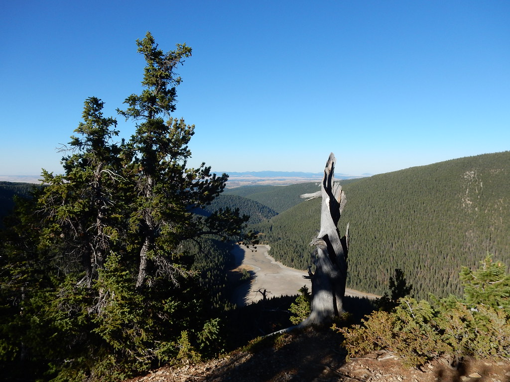
Big Rock Creek
- 28.8 mi
- distance
- 6,058 ft
- high point
- May, Jul–Sep
- best months
Big Rock Creek is a 29-mile paddling stretch near Moore, Montana, about 5.4 miles from Beaver Creek. The creek is intermittent, and it may run dry in some seasons. The USGS estimates an average flow of about 57 cubic feet per second and a gradient of about 80.4 feet per mile. Summer is the most comfortable time to paddle. Typical averages from a nearby weather station run to highs around 80°F in July and August, with July lows near 49°F. That station sits about 1,100 feet lower than the creek, so expect cooler temperatures on the water. Cottonwood Creek, about 6.3 miles away, and Ross Fork Creek, about 8.6 miles away, are other paddling options. For time on foot, Logan Ridge is about 7.5 miles away and Jump Off Peak about 8.8 miles.
- Cottonwood CreekCanoeing6.3 mi
- Logan RidgeHiking7.5 mi
- Dry Pole CreekHiking8.3 mi
- Ross Fork CreekCanoeing8.6 mi
- Jump Off PeakHiking8.8 mi
- Hidden Basin WildflowerMountain biking9.5 mi
- Crystal CascadesHiking9.5 mi
- Promontory PointMountain biking9.6 mi
Source: Roamze catalog (indexable pages within 10 miles, PostGIS distance)
- Cottonwood CreekCanoeing · ~11 min drive
- Crystal Lake Boat LaunchBoat launch · ~17 min drive
- Ross Fork CreekCanoeing · ~15 min drive
- Big Spring CreekCanoeing · ~21 min drive
- East Fork Big Spring CreekCanoeing · ~25 min drive
- Judith RiverCanoeing · ~27 min drive
- Roberts CreekCanoeing · ~45 min drive
- Careless CreekCanoeing · ~54 min drive
- Wolf CreekCanoeing · ~56 min drive
- Hopley CreekCanoeing · ~56 min drive
Best time to visit Big Rock Creek
Best months: May and July–September. Best months have typical highs of 55–85 °F, lows of 30 °F or warmer (32 °F where the station doesn't record snow), at most one snowy day and no more than 12 wet days.
Jan
37° / 13°
7 wet
Feb
37° / 12°
6 wet
Mar
45° / 19°
8 wet
Apr
51° / 26°
9 wet
May
62° / 36°
12 wet
Jun
68° / 43°
13 wet
Jul
80° / 49°
10 wet
Aug
79° / 47°
8 wet
Sep
69° / 39°
7 wet
Oct
57° / 30°
7 wet
Nov
44° / 21°
6 wet
Dec
36° / 14°
6 wet
Typical high / low (°F) and days with rain or snow, 1991–2020. Measured at Lewistown 11 Sse, MT, 9.1 mi away at 4,965 ft. The station sits about 1,100 ft lower than this place, so expect it a little cooler here. This station doesn't record snowfall. Source: NOAA NCEI U.S. Climate Normals 1991–2020.