Bobtail
- 1.2 mi
- distance
- 288 ft
- climb
Is Bobtail open right now?
Closure in the area
There's a closure order in Kootenai National Forest. It doesn't name Bobtail, so check the source for the area it covers.
Kootenai Flood Event & Inaccessible Areas
Agency closure covering Kootenai National Forest · USFS · Kootenai National Forest
Updated Skillet Fire Area, Road, Trail Closure
Agency alert covering Kootenai National Forest · Order 01-10- · USFS · Kootenai National Forest
Trail Advisory-Alexander Mountain Trail near Timber Harvest Activities
Agency alert covering Libby Ranger District · USFS · Libby Ranger District
Timberlane Campground Closure
Agency alert covering Libby Ranger District · Order 01-14-05-26-03 · USFS · Libby Ranger District
As of · Source: USFS · Kootenai National Forest. Agencies don't list every closure — check before you go.
Bobtail is a short, low-elevation mountain biking route in the Libby Ranger District of Montana's Kootenai National Forest. The ride covers about 1.2 miles, with a total climb of 288 feet from a starting point near 4,500 feet to a high point of about 4,745 feet. The route is managed by the Forest Service. The steepest part of the climb comes early, at about 0.5 miles, where the grade reaches 18%. That makes the first stretch the most demanding, with the rest of the route running gentler. The total descent of 235 feet means the ride is roughly balanced as an out-and-back. Several other destinations sit within a few miles. Mount Tom and Tom Poole Lake are both about 1.9 miles away. Loon Lake Campground is 3.7 miles off, and the Quartz/big Cr Safety Route, another mountain biking option, is 2.2 miles away.
- Mount TomHiking1.9 mi
- Tom Poole LakeHiking1.9 mi
- ShaferHiking1.9 mi
- Quartz/big Cr Safety RouteMountain biking2.2 mi
- Pipe CreekCanoeing2.9 mi
- Loon Lake CampgroundCamping3.7 mi
- Big Creek Baldy. Lookout RentalCamping5.8 mi
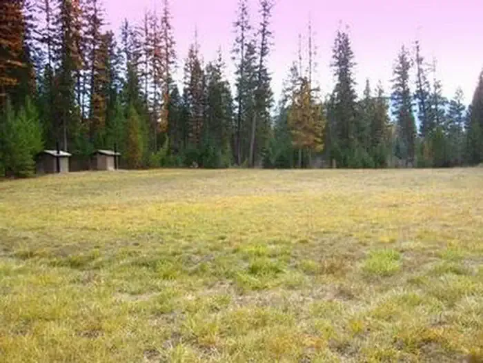 Timberlane CampgroundCampingPhoto: Recreation.gov (RIDB) / public domain6.4 mi
Source: Roamze catalog (indexable pages within 10 miles, PostGIS distance)
 Grambauer RidgeMountain biking · ~21 min drivePhoto: Matt Lavin, CC BY-SA 2.0 (via Wikimedia Commons)
- Mount TomMountain biking · ~4 min drive
- Quartz/big Cr Safety RouteMountain biking · ~4 min drive
- Shafer/big Creek BaldyMountain biking · ~6 min drive
- Turner MountainMountain biking · ~6 min drive
- Deception Cr Snowmobile LoopMountain biking · ~7 min drive
- Rainbow Ridge X-C SkiMountain biking · ~11 min drive
- East Pipe/big Creek SnowmoblMountain biking · ~11 min drive
- Bobtail RidgeMountain biking · ~12 min drive
- Sheldon Mountain Tie LMountain biking · ~15 min drive
Map and trail data © OpenStreetMap contributors
