Quartz/big Cr Safety Route
- 0.2 mi
- distance
- 44 ft
- climb
- Apr–Jun, Sep–Oct
- best months
Is Quartz/big Cr Safety Route open right now?
Closure in the area
There's a closure order in Kootenai National Forest. It doesn't name Quartz/big Cr Safety Route, so check the source for the area it covers.
Kootenai Flood Event & Inaccessible Areas
Agency closure covering Kootenai National Forest · USFS · Kootenai National Forest
Updated Skillet Fire Area, Road, Trail Closure
Agency alert covering Kootenai National Forest · Order 01-10- · USFS · Kootenai National Forest
Trail Advisory-Alexander Mountain Trail near Timber Harvest Activities
Agency alert covering Libby Ranger District · USFS · Libby Ranger District
Timberlane Campground Closure
Agency alert covering Libby Ranger District · Order 01-14-05-26-03 · USFS · Libby Ranger District
As of · Source: USFS · Kootenai National Forest. Agencies don't list every closure — check before you go.
The Quartz/big Cr Safety Route is a short mountain biking route in Montana's Kootenai National Forest, within the Libby Ranger District. The Forest Service manages the land. The route is about 0.19 miles long, and the climb rises about 44 feet from a low point of 3,093 feet to a high of 3,171 feet. The steepest part comes early, at about 0.11 miles into the ride, with a grade of roughly 15 percent. For comfortable weather, late spring and early fall stand out. Typical averages from a nearby weather station in Libby show May highs around 73°F and September highs near 78°F, while July and August average about 90°F. That station sits well below the route, so temperatures on the climb run cooler. Mount Tom lies just 0.3 miles away, and Tom Poole Lake and Upper Pipe are hikes within a mile. Loon Lake Campground is about 2.3 miles off.
- Mount TomMountain biking0.3 mi
- Tom Poole LakeHiking0.6 mi
- Upper PipeHiking0.7 mi
- Turner MountainHiking0.8 mi
- Loon Lake CampgroundCamping2.3 mi
- Big Creek Baldy. Lookout RentalCamping4.5 mi
- Pipe CreekCanoeing5 mi
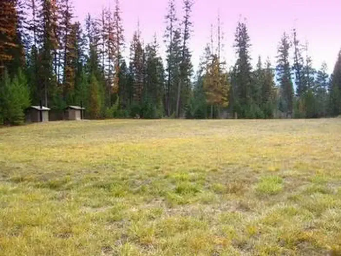 Timberlane CampgroundCampingPhoto: Recreation.gov (RIDB) / public domain8.5 mi
Source: Roamze catalog (indexable pages within 10 miles, PostGIS distance)
 Grambauer RidgeMountain biking · ~24 min drivePhoto: Matt Lavin, CC BY-SA 2.0 (via Wikimedia Commons)
- Mount TomMountain biking · Next door
- Tom Poole LakeMountain biking · ~1 min drive
- Turner MountainMountain biking · ~3 min drive
- BobtailMountain biking · ~4 min drive
- Deception Cr Snowmobile LoopMountain biking · ~4 min drive
- Shafer/big Creek BaldyMountain biking · ~5 min drive
- Rainbow Ridge X-C SkiMountain biking · ~7 min drive
- East Pipe/big Creek SnowmoblMountain biking · ~7 min drive
- Sheldon Mountain Tie LMountain biking · ~19 min drive
Best time to visit Quartz/big Cr Safety Route
Best months: April–June and September–October. Best months have typical highs of 55–85 °F, lows of 30 °F or warmer (32 °F where the station doesn't record snow), at most one snowy day and no more than 12 wet days.
Jan
34° / 22°
14 wet · 7 snow
Feb
41° / 22°
10 wet · 4 snow
Mar
52° / 27°
12 wet · 2 snow
Apr
62° / 32°
10 wet
May
73° / 39°
10 wet
Jun
80° / 45°
11 wet
Jul
89° / 49°
7 wet
Aug
90° / 47°
6 wet
Sep
78° / 41°
7 wet
Oct
59° / 34°
10 wet
Nov
41° / 28°
13 wet · 3 snow
Dec
33° / 22°
14 wet · 7 snow
Typical high / low (°F) and days with rain or snow, 1991–2020. Measured at Libby 1 Ne Rs, MT, 13.7 mi away at 2,096 ft. The station sits about 1,100 ft lower than this place, so expect it a little cooler here. Source: NOAA NCEI U.S. Climate Normals 1991–2020.
Map and trail data © OpenStreetMap contributors
