Windy Pass Cabin
Campground
Campground · 1.8 mi from the trail
Closure in the area
There's a closure order in Yellowstone Ranger District. It doesn't name Gallatin Crest, so check the source for the area it covers (13 listed).
East Fork of the Mill Creek Trail Bridge Stock Closure
Agency closure covering Yellowstone Ranger District · Order 01-11-04-26-03 · USFS · Yellowstone Ranger District
NFSR #1700 South Plateau Road Closure
Agency closure covering Custer Gallatin National Forest · USFS · Custer Gallatin National Forest
Hyalite Porcupine Buffalo Horn Summer Interim Travel Order and Map and Order # 01-11-00-26-02
Agency closure covering Custer Gallatin National Forest · Order 01-11-00-26-02 · USFS · Custer Gallatin National Forest
Hyalite Porcupine Buffalo Horn Winter Interim Travel Order and Map Order Number: #01-11-00-26-01
Agency closure covering Custer Gallatin National Forest · USFS · Custer Gallatin National Forest
Glacier Lake Road #2421 Closure Order Number: # 01-11-82-26- 01
Agency closure covering Custer Gallatin National Forest · Order 01-11-82-26- · USFS · Custer Gallatin National Forest
As of · Source: USFS · Yellowstone Ranger District. Agencies don't list every closure — check before you go.
Gallatin Crest is a mountain biking route in the Yellowstone Ranger District of Custer Gallatin National Forest in Montana, managed by the Forest Service. The ride starts at about 9,250 feet and climbs to roughly 9,886 feet over a distance of about 2.9 miles, with a total gain of 822 feet. The steepest stretch comes near the end, around 2.8 miles in, where the grade reaches about 30%. The route is short and compact, so it works well as a single outing. The climb is one way, and the descent back down the same route would add about 421 feet of loss. Golden Trout Lakes and Lake Elsie are both about a mile away, and the Gallatin River is about 4.4 miles off. For an overnight stay, Tom Miner Campground sits about 7.9 miles away.
Windy Pass Cabin
Campground
Places © Overture Maps Foundation
More in Emigrant Gallatin RiverCanoeingPhoto: Jim from Lexington, KY, USA, CC BY-SA 2.0 (via Wikimedia Commons)4.4 mi
Source: Roamze catalog (indexable pages within 10 miles, PostGIS distance)
 Buffalo HornMountain biking · ~13 min drivePhoto: Greg Willis from Denver, CO, usa, CC BY-SA 2.0 (via Wikimedia Commons)Buffalo Horn PassMountain biking · ~13 min drivePhoto: Greg Willis from Denver, CO, usa, CC BY-SA 2.0 (via Wikimedia Commons)Dailey PassMountain biking · ~15 min drivePhoto: Greg Willis from Denver, CO, usa, CC BY-SA 2.0 (via Wikimedia Commons)
Also worth it near here
Gallatin RiverCanoeing · ~8 min drivePhoto: Jim from Lexington, KY, USA, CC BY-SA 2.0 (via Wikimedia Commons)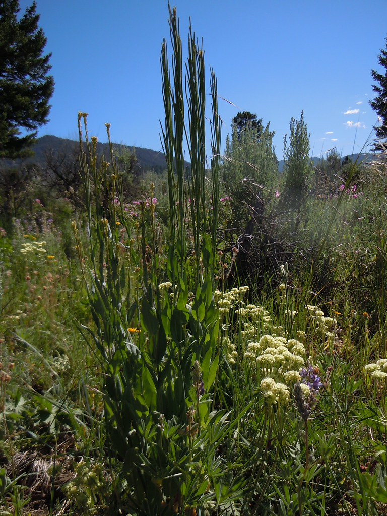 FIRST CREEK CUTOFFHiking · ~10 min drivePhoto: Matt Lavin, CC BY-SA 2.0 (via Flickr)
Map and trail data © OpenStreetMap contributors
