Nature Trail
- 0.4 mi
- distance
- 22 ft
- climb
- Apr–Oct
- best months
Is Nature Trail open right now?
Alert in the area
The Forest Service lists 2 alerts for Bitterroot National Forest.
Pile burning on West Fork Ranger, Darby-Sula & Stevi Nov. 16 to 19
Agency alert covering Bitterroot National Forest · USFS · Bitterroot National Forest
Two Prescribed Burns Planned for the week of Oct. 5 - Piquett Creek & Cameron Gap
Agency alert covering Bitterroot National Forest · USFS · Bitterroot National Forest
As of · Source: USFS · Bitterroot National Forest. Agencies don't list every closure — check before you go.
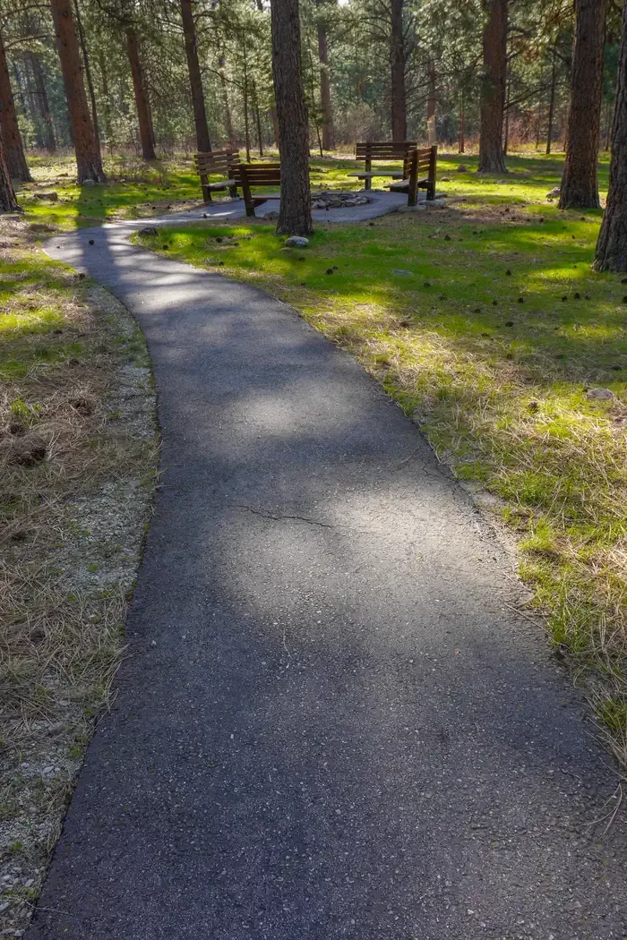
Nature Trail is a short 0.43-mile trail at Bass Creek Trailhead in Montana with 54 feet of elevation gain. The trail is managed by the Forest Service as part of the Bass Creek Trailhead system.
Local outfitters
- Granite Peak RV Resort27 mi away
Not on Roamze yet. Their page has how to reach them.
 Fitness TrailMountain bikingPhoto: Forest Service Northern Region from Missoula, MT, USA, Public domain (via Wikimedia Commons)0.1 mi
- Larry CreekHiking0.2 mi
- Bass CreekRock climbing0.2 mi
- Charles Waters CampgroundCamping0.3 mi
- Ecology TrailMountain bikingPhoto: Forest Service Northern Region from Missoula, MT, USA, Public domain (via Wikimedia Commons)0.8 mi
 Larry Creek Group CampCampingPhoto: Recreation.gov (RIDB) / public domain0.8 mi
- Sick BayRock climbing2.7 mi
- Big CreekCanoeing8.4 mi
Source: Roamze catalog (indexable pages within 10 miles, PostGIS distance)
- Fitness TrailMountain biking · Next doorPhoto: Forest Service Northern Region from Missoula, MT, USA, Public domain (via Wikimedia Commons)
- Ecology TrailMountain biking · ~1 min drivePhoto: Forest Service Northern Region from Missoula, MT, USA, Public domain (via Wikimedia Commons)
- Lower Dry DrawMountain biking · ~3 min drivePhoto: Forest Service Northern Region from Missoula, MT, USA, Public domain (via Wikimedia Commons)
- Larry CreekMountain biking · ~2 min drive
- Horsehoe LoopMountain biking · ~3 min drive
- Sweeney ViewpontMountain biking · ~3 min drive
- North Zone LoopMountain biking · ~3 min drive
- Deadmans PointMountain biking · ~28 min drive
- OrchardMountain biking · ~29 min drive
- J's TrailMountain biking · ~29 min drive
Best time to visit Nature Trail
Best months: April–October. Best months have typical highs of 55–85 °F, lows of 30 °F or warmer (32 °F where the station doesn't record snow), at most one snowy day and no more than 12 wet days.
Jan
35° / 19°
9 wet · 3 snow
Feb
38° / 21°
8 wet · 2 snow
Mar
50° / 26°
9 wet · 1 snow
Apr
58° / 32°
9 wet
May
68° / 39°
10 wet
Jun
75° / 45°
10 wet
Jul
85° / 49°
6 wet
Aug
84° / 47°
6 wet
Sep
74° / 40°
7 wet
Oct
58° / 32°
8 wet
Nov
43° / 25°
9 wet · 1 snow
Dec
33° / 19°
9 wet · 2 snow
Typical high / low (°F) and days with rain or snow, 1991–2020. Measured at Stevensville, MT, 4.7 mi away at 3,375 ft. Source: NOAA NCEI U.S. Climate Normals 1991–2020.
Map and trail data © OpenStreetMap contributors
