Willow Creek
- 13.1 mi
- round trip
- 1,630 ft
- climb
- 8,400 ft
- high point
- Out and back
- route
Is Willow Creek open right now?
No closures listed
The Forest Service lists no closures for Helena-Lewis and Clark National Forest.
As of · Source: USFS · Helena-Lewis and Clark National Forest. Agencies don't list every closure — check before you go.
Willow Creek is a hard hike in the Helena-Lewis and Clark National Forest, within the Belt Creek-White Sulphur Springs Ranger District in southwest Montana. The route is an out-and-back of about 13 miles, with a total elevation gain of about 1,630 feet, taking you from a low point of roughly 5,988 feet to a high of about 8,400 feet. The trail is on natural surface and is open to both horses and bikes. It is not an accessible trail, according to the Forest Service's accessibility status. The Forest Service manages the land, and the trail is open year-round. Several other hikes lie within a few miles, including Castle Elk Connector, Loweth and Alabough-Castle Lake. Grasshopper Campground and Richardson Campground are both about 8 miles away.
- Castle Elk ConnectorHiking1.8 mi
- LowethHiking2.8 mi
- Alabough-Castle LakeHiking3.3 mi
- WoodchuckHiking4.2 mi
- Elk Peak TrailHiking5.7 mi
- GrasshopperHiking6.7 mi
- Grasshopper CgCamping7.9 mi
- Richardson CgCamping7.9 mi
Source: Roamze catalog (indexable pages within 10 miles, PostGIS distance)
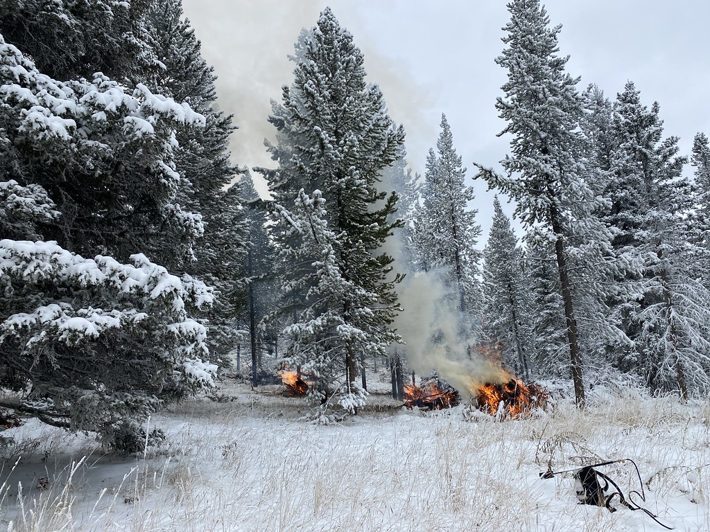 Upper Smith Connector TrailHiking · ~30 min drivePhoto: Forest Service - Northern Region, Public Domain Mark (via Flickr)
- Bitter Honey TrailHiking · ~30 min drivePhoto: Forest Service - Northern Region, Public Domain Mark (via Flickr)
 HollowayHiking · ~36 min drivePhoto: Forest Service - Northern Region, CC BY 2.0 (via Flickr)
 Upper Scab Rock TrailHiking · ~32 min drivePhoto: Forest Service - Northern Region, Public Domain Mark (via Flickr)
- Bitter Creek TrailHiking · ~32 min drivePhoto: Forest Service - Northern Region, Public Domain Mark (via Flickr)
- LowethHiking · ~5 min drive
- Lower Scab Rock TrailHiking · ~32 min drivePhoto: Forest Service - Northern Region, Public Domain Mark (via Flickr)
- Castle Elk ConnectorHiking · ~3 min drive
- Alabough-Castle LakeHiking · ~6 min drive
 Lower Smith Connector TrailHiking · ~34 min drivePhoto: Forest Service - Northern Region, Public Domain Mark (via Flickr)
