Elk Peak Trail
- 3.0 mi
- round trip
- 1,515 ft
- climb
- 7,569 ft
- high point
- Out and back
- route
Is Elk Peak Trail open right now?
No closures listed
The Forest Service lists no closures for Helena-Lewis and Clark National Forest.
As of · Source: USFS · Helena-Lewis and Clark National Forest. Agencies don't list every closure — check before you go.
Elk Peak Trail is a 5.9-mile out-and-back hike in Montana's Helena-Lewis and Clark National Forest, within the Belt Creek-White Sulphur Springs Ranger District. The trail is managed by the Forest Service and rated hard, with a total climb of 1,515 feet. The route begins at about 7,557 feet and reaches a high point of 7,569 feet, so the summit is just a few dozen feet above the trail's starting point. The trail's steepest stretch comes at about 2.3 miles in, where the grade reaches 20 percent. That makes the middle of the route the most demanding part of the hike. Plan on about 2.5 hours for the round trip. Several other hikes lie within a few miles, including Woodchuck at 2.4 miles and Corral Creek at 3 miles. Richardson Campground, 3.7 miles away, offers a place to stay overnight.
- WoodchuckHiking2.4 mi
- Fourmile CrHiking2.7 mi
- Corral CreekHiking3 mi
- Bonanza SpurHiking3.1 mi
- Richardson CgCamping3.7 mi
- Grasshopper CgCamping4.3 mi
- Castle MountainsRock climbing7 mi
- North Fork Smith RiverCanoeing9.5 mi
Source: Roamze catalog (indexable pages within 10 miles, PostGIS distance)
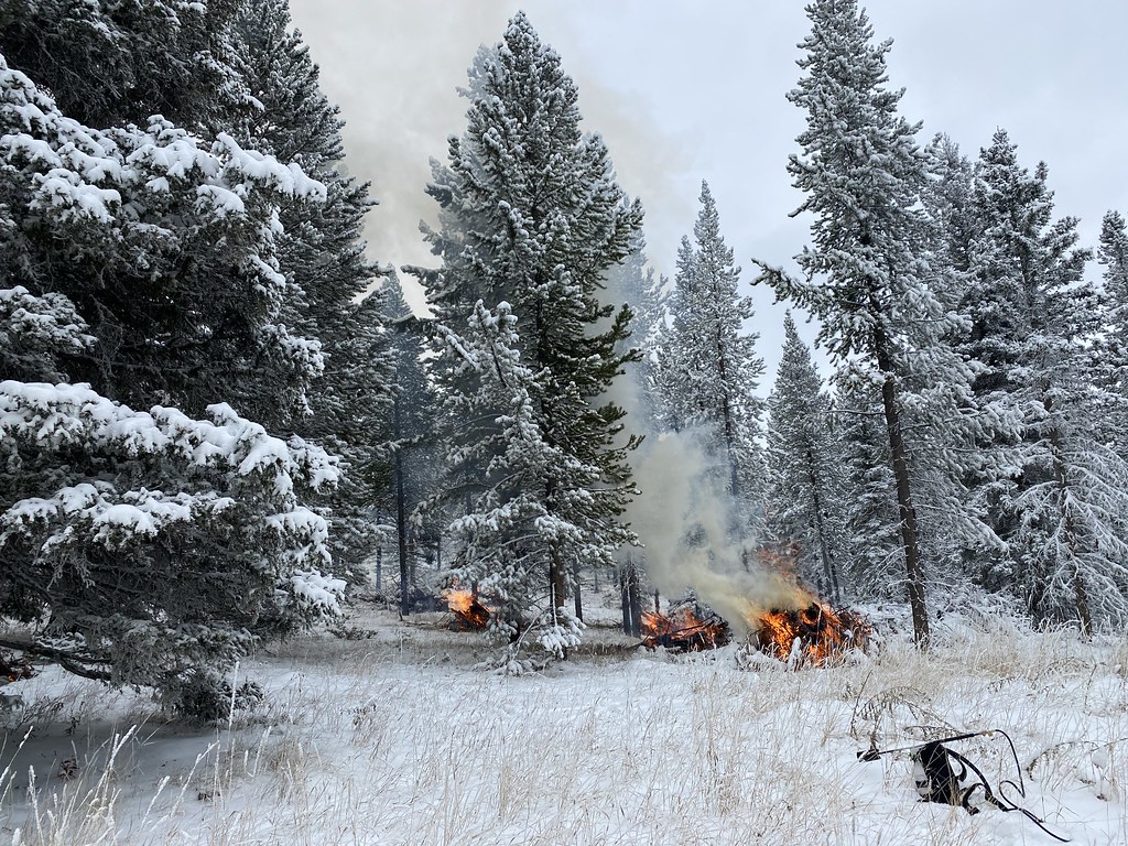 Upper Smith Connector TrailHiking · ~33 min drivePhoto: Forest Service - Northern Region, Public Domain Mark (via Flickr)
- Bitter Honey TrailHiking · ~33 min drivePhoto: Forest Service - Northern Region, Public Domain Mark (via Flickr)
- GrasshopperHiking · ~7 min drive
 Upper Scab Rock TrailHiking · ~34 min drivePhoto: Forest Service - Northern Region, Public Domain Mark (via Flickr)
- Bitter Creek TrailHiking · ~34 min drivePhoto: Forest Service - Northern Region, Public Domain Mark (via Flickr)
- Alabough-Castle LakeHiking · ~7 min drive
- Lower Scab Rock TrailHiking · ~35 min drivePhoto: Forest Service - Northern Region, Public Domain Mark (via Flickr)
- WoodchuckHiking · ~4 min drive
- Willow CreekHiking · ~10 min drive
- Fourmile CrHiking · ~5 min drive
Map and trail data © OpenStreetMap contributors
