Whiskey Trail
- 1.5 mi
- round trip
- 679 ft
- climb
- 3,409 ft
- high point
- Out and back
- route
- Apr–Oct
- best months
Whiskey Trail is a 3-mile out-and-back hike in western Montana, about 6 miles from the town of Sloan. The trail rises from a low point of 2,731 feet to a high of 3,409 feet, with a total elevation gain of 679 feet, and the climb is most pronounced around the 1.2-mile mark, where the grade reaches about 21%. The most comfortable time to go is late spring through early fall. Typical averages from a nearby weather station in Polson, about 19 miles away, show July highs around 83°F with lows near 53°F, and September highs around 71°F with fewer wet days than most of the year. The trip takes about 1.5 hours.
Local outfitters
- Granite Peak RV Resort38 mi away
Not on Roamze yet. Their page has how to reach them.
 High Point TrailHiking · ~27 min drivePhoto: astrophotography_andy, CC BY 2.0 (via Flickr)
 Ch-Paa-Qn PeakHiking · ~40 min drivePhoto: Forest Service - Northern Region, Public Domain Mark (via Flickr)
- Reservation DivideHiking · ~31 min drive
- Baldy MountainHiking · ~34 min drive
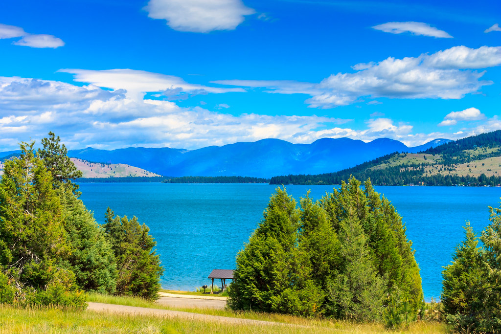 Juniper Jaunt TrailHiking · ~42 min drivePhoto: Always Shooting, CC BY 2.0 (via Flickr)
- Kreis Pond Blue Loop - AHiking · ~41 min drive
- Burnt Fork PinnacleHiking · ~31 min drive
- Moon LakeHiking · ~38 min drive
- canal path 9 pipes wildlife refugeHiking · ~25 min drive
- Kreis Pond Blue LoopHiking · ~43 min drive
Best time to visit Whiskey Trail
Best months: April–October. Best months have typical highs of 55–85 °F, lows of 30 °F or warmer (32 °F where the station doesn't record snow), at most one snowy day and no more than 12 wet days.
Jan
33° / 22°
11 wet
Feb
37° / 22°
8 wet
Mar
47° / 28°
9 wet
Apr
56° / 34°
9 wet
May
66° / 41°
11 wet
Jun
72° / 47°
11 wet
Jul
83° / 53°
6 wet
Aug
82° / 52°
5 wet
Sep
71° / 46°
6 wet
Oct
56° / 36°
9 wet
Nov
41° / 27°
10 wet
Dec
33° / 22°
10 wet
Typical high / low (°F) and days with rain or snow, 1991–2020. Measured at Polson, MT, 18.9 mi away at 3,010 ft. This station doesn't record snowfall. Source: NOAA NCEI U.S. Climate Normals 1991–2020.
Map and trail data © OpenStreetMap contributors
