Westpine-01
Campground
Campground · 1.1 mi from the trail
Closure in the area
There's a closure order in Yellowstone Ranger District. It doesn't name West Pine, so check the source for the area it covers (13 listed).
East Fork of the Mill Creek Trail Bridge Stock Closure
Agency closure covering Yellowstone Ranger District · Order 01-11-04-26-03 · USFS · Yellowstone Ranger District
NFSR #1700 South Plateau Road Closure
Agency closure covering Custer Gallatin National Forest · USFS · Custer Gallatin National Forest
Hyalite Porcupine Buffalo Horn Summer Interim Travel Order and Map and Order # 01-11-00-26-02
Agency closure covering Custer Gallatin National Forest · Order 01-11-00-26-02 · USFS · Custer Gallatin National Forest
Hyalite Porcupine Buffalo Horn Winter Interim Travel Order and Map Order Number: #01-11-00-26-01
Agency closure covering Custer Gallatin National Forest · USFS · Custer Gallatin National Forest
Glacier Lake Road #2421 Closure Order Number: # 01-11-82-26- 01
Agency closure covering Custer Gallatin National Forest · Order 01-11-82-26- · USFS · Custer Gallatin National Forest
As of · Source: USFS · Yellowstone Ranger District. Agencies don't list every closure — check before you go.
West Pine is a hard hike in the Yellowstone Ranger District of Custer Gallatin National Forest in Montana, about 10.6 miles long with a one-way elevation gain of 2,469 feet. The trail is an out-and-back that starts and ends at the West Pine trailhead, which is open year-round and has natural surface. The route rises from a low point of about 6,319 feet to a high point of about 8,795 feet. Bikes and horses are both allowed, so the trail works for riders and pack animals as well as hikers. North Dry Divide is about 2.4 miles away, and Eightmile is about 3.5 miles away. Trail Creek Cabin, about 5.5 miles off, and Adam's Rib, a climbing area about 8.3 miles away, round out the options for extending a trip.
Westpine-01
Campground
Places © OpenStreetMap contributors
More in EmigrantNot on Roamze yet. Their page has how to reach them.
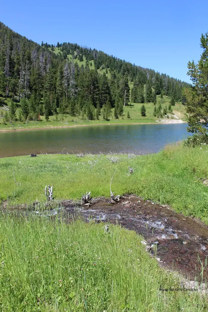 Mystic Lake CabinCampingPhoto: Recreation.gov (RIDB) / public domain7.3 mi
Source: Roamze catalog (indexable pages within 10 miles, PostGIS distance)
 Emerald Lake TrailHiking · ~13 min drivePhoto: Forest Service - Northern Region, Public Domain Mark (via Flickr)Palisade FallsHiking · ~14 min drivePhoto: Forest Service - Northern Region, Public Domain Mark (via Flickr)
 Lower Wildhorse Lick TrailHiking · ~15 min drivePhoto: Forest Service - Northern Region, Public Domain Mark (via Flickr)
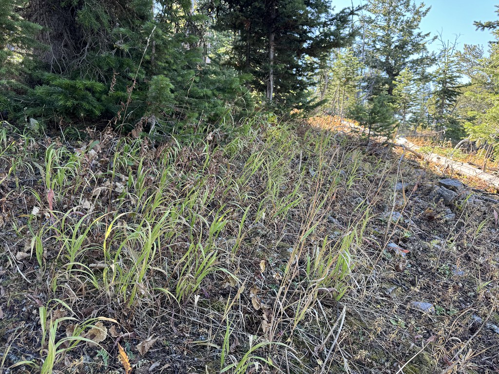 New World GulchHiking · ~16 min drivePhoto: Matt Lavin, CC BY-SA 2.0 (via Flickr)East Fork DivideHiking · ~13 min drivePhoto: Forest Service - Northern Region, Public Domain Mark (via Flickr)Hyalite Canyon TrailHiking · ~14 min drivePhoto: Forest Service - Northern Region, Public Domain Mark (via Flickr)
 WestshoreHiking · ~17 min drivePhoto: Matt Lavin, CC BY-SA 2.0 (via Flickr)
 BlackmoreHiking · ~17 min drivePhoto: Matt Lavin, CC BY-SA 2.0 (via Flickr)
 Palisade Mountain FoothillsHiking · ~14 min drivePhoto: Matt Lavin, CC BY-SA 2.0 (via Flickr)
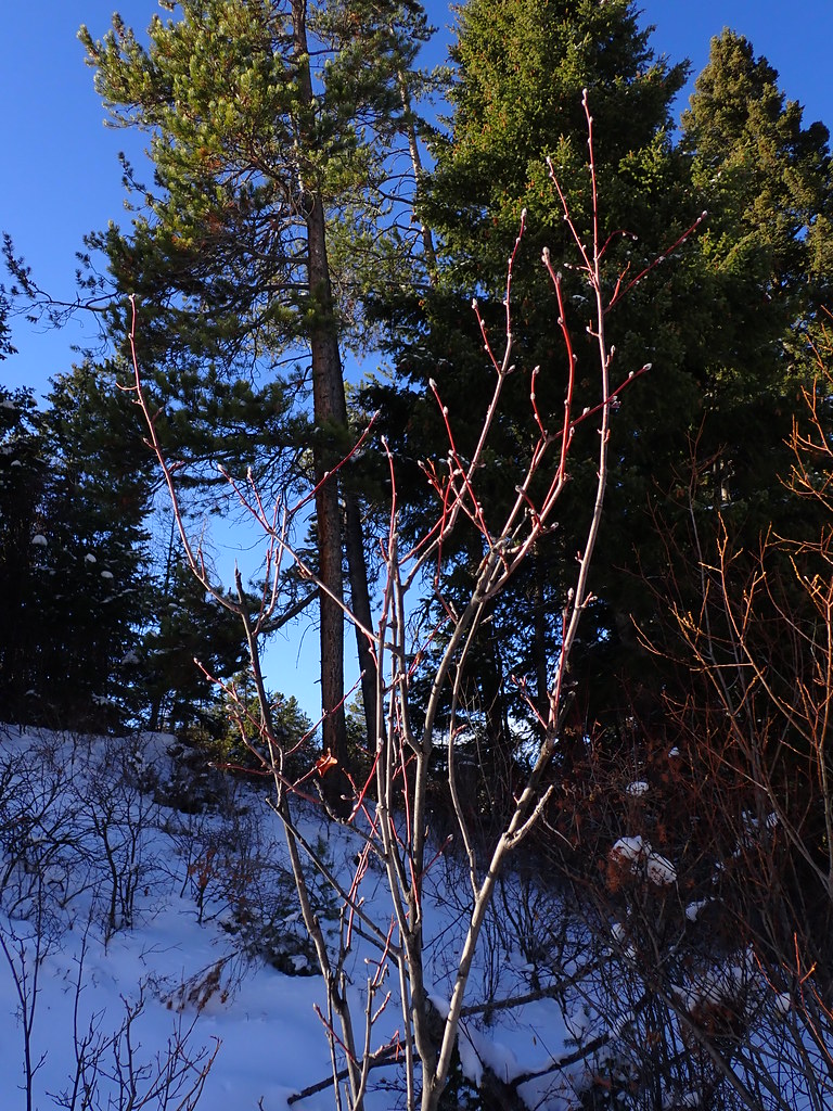 MoonshineHiking · ~17 min drivePhoto: Matt Lavin, CC BY-SA 2.0 (via Flickr)
