Loading…

Free — you'll pick up right here.
Watch this trail
Sign up to watch it — saving subscribes you to gate, closure and report changes.
Montana
1.0 mi
Distance
18 ft
Gain
20 min
Time
We won't guess. Here is exactly what we do and don't know.
What we do know
Inside Bitterroot National Forest
2 managing-area boundaries mapped — agency alerts for them feed this page automatically.
Boundary data
What's missing
No access route mapped
We don't yet know which road reaches this trailhead, so we can't tell you if it's gated.
Nobody's filed a report here yet — be the first.
Why you'll love it
Soda Spirngs Creek
AI-suggested draft · review before you go
No permit or access details on file for this trail — check with the local land manager before you go.
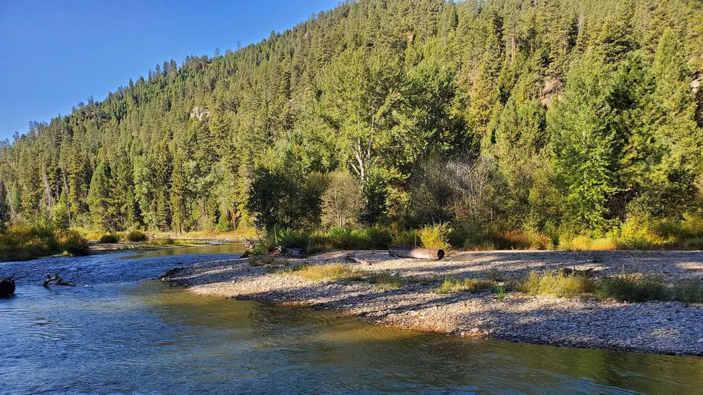
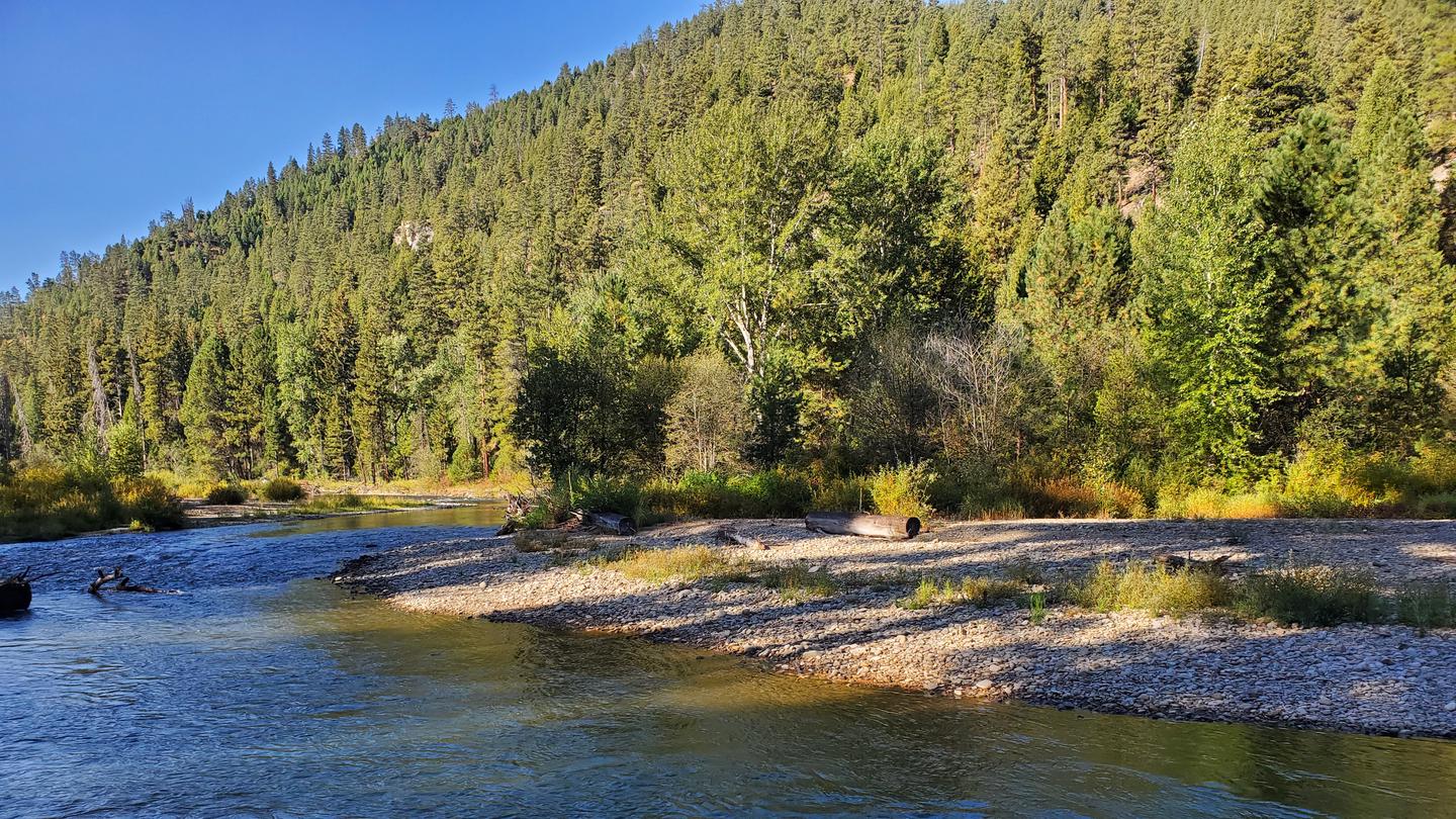
Soda Springs Creek is a short and easy walk perfect for families and casual hikers looking for a gentle stroll through Montana's backcountry. This 1-mile trail features minimal elevation gain and follows the scenic creek drainage, offering a peaceful nature experience without requiring significant physical exertion. Ideal for a quick outing or as a warm-up hike before tackling more challenging trails in the region.
Soda Springs Creek
~0 min drive
Easy creek-side walk with gentle elevation gain near Soda Springs.
Halford-Soda Spirngs
~2 min drive
Easy 5-mile hike to natural springs with 466 ft elevation gain.
Nelson Lake
~4 min drive
Moderate 6-mile hike to a scenic alpine lake with 941 ft elevation gain.
Neslon-Gemmel Creeks
~4 min drive
Easy creek-side walk through Montana foothills with minimal elevation gain.
Ward-Wheeler Creek
~7 min drive
Easy creek-side walk through Montana forest and meadows.
Watchtower
~8 min drive
Remote 17.78-mile backcountry trek with 3,153 ft gain in Montana wilderness.
Neslon
~4 min drive
Short, easy Montana hike with gentle elevation gain.
Bonnie Blue
~7 min drive
Easy 4.8-mile trail with minimal elevation gain near Bonnie Blue.
Bare Cone
~9 min drive
Steep 6.4-mile alpine climb with 5,000 ft gain and commanding summit views.
Boulder Lake
~9 min drive
Easy 2.16-mile hike to a scenic alpine lake with minimal elevation gain.