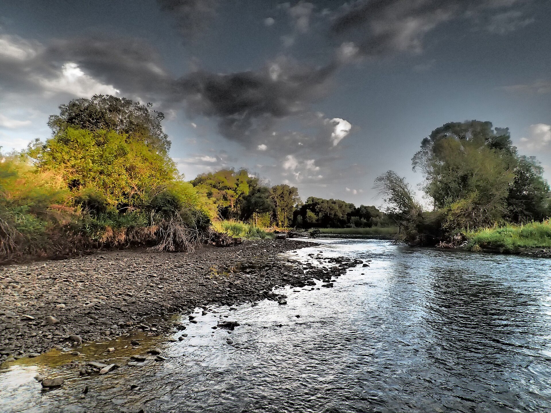
Virgina Peak
- 4.3 mi
- round trip
- 1,318 ft
- climb
- 8,061 ft
- high point
- Out and back
- route
Caution at last check
Agency alerts are in effect for this area; weather is marginal · USFS, OpenWeather · checked 23 h ago
Is Virgina Peak open right now?
No closures listed
The Forest Service lists no closures for Helena-Lewis and Clark National Forest.
As of · Source: USFS · Helena-Lewis and Clark National Forest. Agencies don't list every closure — check before you go.
Virgina Peak is a moderate out-and-back hike in the Belt Creek-White Sulphur Springs Ranger District of the Helena-Lewis and Clark National Forest in Montana. The trail runs about 4.3 miles, with a one-way elevation gain of 1,318 feet, taking you from a low point of about 6,600 feet to the peak's high point of 8,061 feet. The route is on natural surface and is open to both horses and bikes. It is not an accessible trail, according to the Forest Service's accessibility status. The Forest Service manages the land, and the trail is open year-round. The trailhead sits right next to Forest Lake Campground, about 0.2 miles away, and the Forest Lake hike is also close by. Crandall Creek Cabin and Shields River campground are each about 4.5 miles away.
Local outfitters
- Yellowstone Safari Company47 mi away
Not on Roamze yet. Their page has how to reach them.
- Forest Lake CgCamping0.2 mi
- FS 8926Mountain biking0.2 mi
- Forrest Creek RoadMountain biking0.2 mi
- Forest LakeHiking0.2 mi
- FS 647Mountain biking1.1 mi
- Crandall Creek CabinCamping4.5 mi
- Shields RiverCamping4.5 mi
- Cottonwood CreekCanoeing9.5 mi
Source: Roamze catalog (indexable pages within 10 miles, PostGIS distance)
 Lower Smith Connector TrailHiking · ~7 min drivePhoto: Forest Service - Northern Region, Public Domain Mark (via Flickr)
 Bitter Creek TrailHiking · ~7 min drivePhoto: Forest Service - Northern Region, Public Domain Mark (via Flickr)
- West Lodgepole TrailHiking · ~5 min drive
- Upper Scab Rock TrailHiking · ~7 min drivePhoto: Forest Service - Northern Region, Public Domain Mark (via Flickr)
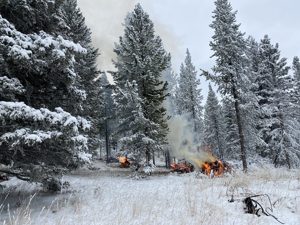 Bitter Honey TrailHiking · ~8 min drivePhoto: Forest Service - Northern Region, Public Domain Mark (via Flickr)
- Honey RunHiking · ~5 min drive
- Upper Smith Connector TrailHiking · ~7 min drivePhoto: Forest Service - Northern Region, Public Domain Mark (via Flickr)
 Lodgepole CreekHiking · ~11 min drivePhoto: Forest Service - Northern Region, Public Domain Mark (via Flickr)
- Crow CreekHiking · ~6 min drive
- Lower Scab Rock TrailHiking · ~9 min drivePhoto: Forest Service - Northern Region, Public Domain Mark (via Flickr)