Up Up Ridge
- 9.5 mi
- round trip
- 699 ft
- climb
- 7,304 ft
- high point
- Out and back
- route
Up Up Ridge is a hard hike on natural trail in the Superior Ranger District of Lolo National Forest in Montana. The route is 9.5 miles long and rises from about 5,700 feet to 7,304 feet, a gain of 699 feet, over an out-and-back course. Summer is the most comfortable time to go. Typical July and August highs reach about 70°F with lows near 50°F, and those months see only six or seven wet days, based on averages from a nearby weather station at Mullan Pass. That station sits about 1,300 feet lower than the ridge's high point, so temperatures up top run cooler. The trail is open year-round, and the Forest Service allows horses and bikes. Within a couple of miles you'll find the Up Up Creek and UP-UP / DEER CREEK hikes, the Up Up Lookout campground, and the Deer Creek Campground.
- Up Up CreekHiking0.8 mi
- UP-UP / DEER CREEKHiking1.2 mi
- Ward CreekHiking1.7 mi
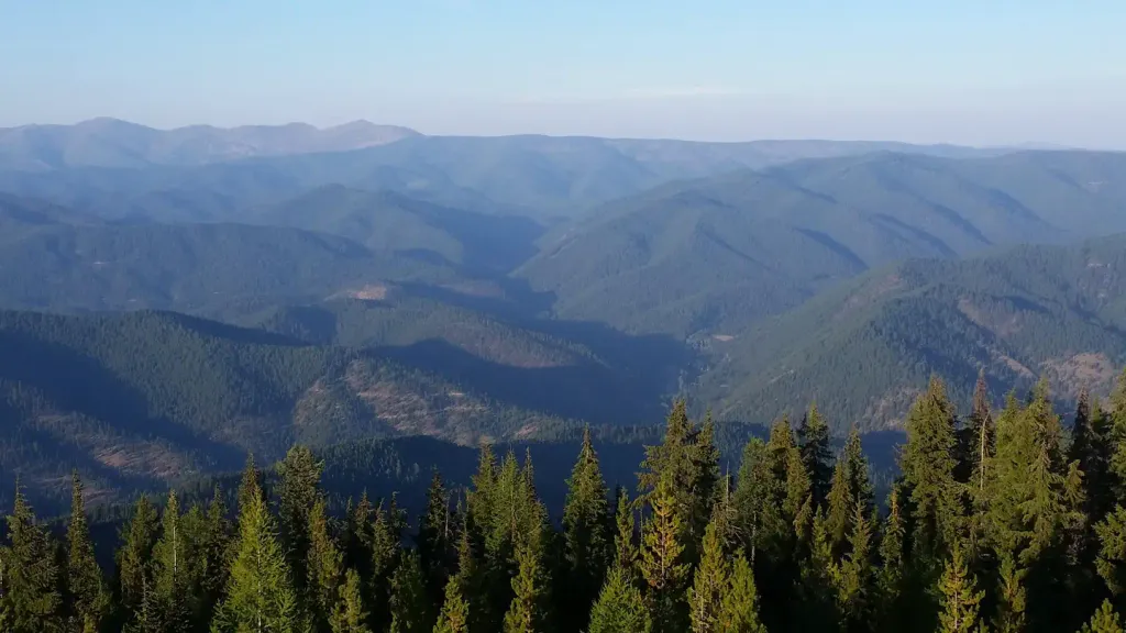 Up Up LookoutCampingPhoto: Recreation.gov (RIDB) / public domain1.9 mi
- Hub Hazel LakesHiking2.4 mi
- Deer Creek CampgroundCamping3.3 mi
- Cabin City CgCamping6.5 mi
- Twelvemile CreekCanoeing8.6 mi
Source: Roamze catalog (indexable pages within 10 miles, PostGIS distance)
Route details
- Distance
- 9.5 mi round trip
- Climbing
- About 699 ft
- Summit
- 7,326 ft
- Difficulty
- Hard
- Time
- About 3.5 hours
Season
Season: Year-round.
Questions about this route
How long is the Up Up Ridge on Eagle Peak?
About 9.5 mi round trip.
How much elevation gain is on the Up Up Ridge?
About 699 ft of climbing round trip.
How hard is the Up Up Ridge?
It is rated hard.
How long does the Up Up Ridge take?
About 3.5 hours round trip.
When is the best time for the Up Up Ridge?
Year-round.
Conditions and forecast on Eagle Peak
Daily highs and lows, wind and the chance of precipitation at the summit and route start for the next 7 days, from the Open-Meteo model.
