Tucker Creek
- 18.0 mi
- round trip
- 1,835 ft
- climb
- 9,845 ft
- high point
- Out and back
- route
Is Tucker Creek open right now?
Closure in the area
There's a closure order in Custer Gallatin National Forest. It doesn't name Tucker Creek, so check the source for the area it covers (14 listed).
NFSR #1700 South Plateau Road Closure
Agency closure covering Custer Gallatin National Forest · USFS · Custer Gallatin National Forest
Tom Miner Campground Closure
Agency closure covering Gardiner Ranger District · Order 01-11-03-26-02 · USFS · Gardiner Ranger District
Hyalite Porcupine Buffalo Horn Summer Interim Travel Order and Map and Order # 01-11-00-26-02
Agency closure covering Custer Gallatin National Forest · Order 01-11-00-26-02 · USFS · Custer Gallatin National Forest
Hyalite Porcupine Buffalo Horn Winter Interim Travel Order and Map Order Number: #01-11-00-26-01
Agency closure covering Custer Gallatin National Forest · USFS · Custer Gallatin National Forest
Glacier Lake Road #2421 Closure Order Number: # 01-11-82-26- 01
Agency closure covering Custer Gallatin National Forest · Order 01-11-82-26- · USFS · Custer Gallatin National Forest
As of · Source: USFS · Custer Gallatin National Forest. Agencies don't list every closure — check before you go.
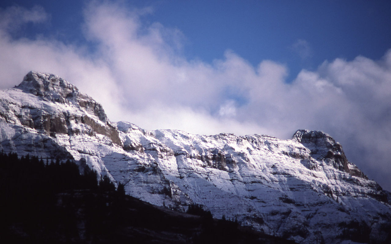
Tucker Creek is a hard hike in the Absaroka-Beartooth Wilderness, part of the Gardiner Ranger District of Custer Gallatin National Forest in Montana. The route is an out-and-back that climbs from about 6,766 feet to 9,845 feet, a total gain of 1,835 feet over 18 miles. The trail is on natural surface and allows horses. Bikes are not permitted. The Forest Service manages the land, and the trail is open year-round. Several other hikes sit close by. Buffalo Fork is about 0.4 miles away and Hidden Lake about 0.5 miles. Bull Creek is about 1.1 miles off, and Telephone Basin is about 1.4 miles away.
Conditions and forecast on Lookout Mountain
Daily highs and lows, wind and the chance of precipitation at the summit and route start for the next 7 days, from the Open-Meteo model.
 Buffalo ForkHikingPhoto: Forest Service - Northern Region, Public Domain Mark (via Flickr)0.4 mi
- Hidden LakeHikingPhoto: Forest Service - Northern Region, Public Domain Mark (via Flickr)0.5 mi
- Bull CreekHiking1.1 mi
- Telephone BasinHikingPhoto: Forest Service - Northern Region, Public Domain Mark (via Flickr)1.4 mi
- East Fork BuffaloHiking3 mi
- Anderson Ridge TrailHiking4.5 mi
- Slough CreekHiking5.7 mi
- Anderson RidgeHiking5.8 mi
Source: Roamze catalog (indexable pages within 10 miles, PostGIS distance)
- Buffalo ForkHiking · Next doorPhoto: Forest Service - Northern Region, Public Domain Mark (via Flickr)
- Hidden LakeHiking · Next doorPhoto: Forest Service - Northern Region, Public Domain Mark (via Flickr)
- Buffalo Fork Trailhead (2N3)Hiking · ~9 min drive
- Tucker CreekHiking · ~10 min drive
- Slough Creek TrailHiking · ~14 min drive
- Bull CreekHiking · ~2 min drive
- Telephone BasinHiking · ~2 min drivePhoto: Forest Service - Northern Region, Public Domain Mark (via Flickr)
- Upper Slough Trailhead (2N4)Hiking · ~11 min drive
- Lost Creek CutoffHiking · ~10 min drive
- Anderson Ridge TrailHiking · ~8 min drive

Route details
- Distance
- 18.0 mi round trip
- Climbing
- About 1,835 ft
- Summit
- 9,871 ft
- Difficulty
- Hard
- Time
- About 7 hours
Season
Season: Year-round.
Questions about this route
How long is the Tucker Creek on Lookout Mountain?
About 18.0 mi round trip.
How much elevation gain is on the Tucker Creek?
About 1,835 ft of climbing round trip.
How hard is the Tucker Creek?
It is rated hard.
How long does the Tucker Creek take?
About 7 hours round trip.
When is the best time for the Tucker Creek?
Year-round.
