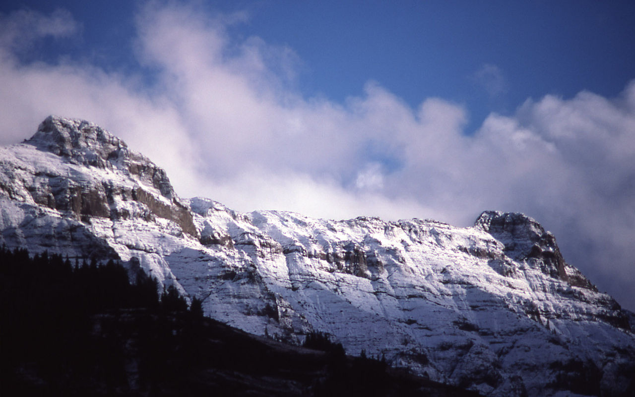
Buffalo Fork
 Photo: Forest Service - Northern Region, Public Domain Mark (via Flickr)
- 25.0 mi
- round trip
- 2,152 ft
- climb
- 9,668 ft
- high point
- Out and back
- route
Is Buffalo Fork open right now?
Closure in the area
There's a closure order in Custer Gallatin National Forest. It doesn't name Buffalo Fork, so check the source for the area it covers (14 listed).
NFSR #1700 South Plateau Road Closure
Agency closure covering Custer Gallatin National Forest · USFS · Custer Gallatin National Forest
Tom Miner Campground Closure
Agency closure covering Gardiner Ranger District · Order 01-11-03-26-02 · USFS · Gardiner Ranger District
Hyalite Porcupine Buffalo Horn Summer Interim Travel Order and Map and Order # 01-11-00-26-02
Agency closure covering Custer Gallatin National Forest · Order 01-11-00-26-02 · USFS · Custer Gallatin National Forest
Hyalite Porcupine Buffalo Horn Winter Interim Travel Order and Map Order Number: #01-11-00-26-01
Agency closure covering Custer Gallatin National Forest · USFS · Custer Gallatin National Forest
Glacier Lake Road #2421 Closure Order Number: # 01-11-82-26- 01
Agency closure covering Custer Gallatin National Forest · Order 01-11-82-26- · USFS · Custer Gallatin National Forest
As of · Source: USFS · Custer Gallatin National Forest. Agencies don't list every closure — check before you go.
Buffalo Fork is a hard hike in the Absaroka-Beartooth Wilderness, part of the Gardiner Ranger District of Custer Gallatin National Forest in Montana. The route is an out-and-back that climbs from about 7,500 feet to nearly 9,700 feet, with a total elevation gain of 2,152 feet over a 25-mile round trip. The trail is on natural surface and is open year-round. Horses are allowed, but bikes are not. The Forest Service manages the land. Several other hikes sit close by. Tucker Creek is about 0.4 miles away and Hidden Lake about 0.6 miles. Telephone Basin is roughly 1.1 miles off, and East Fork Buffalo is about 2.8 miles away.
Keep exploring — more trails worth the drive
Photo: Forest Service - Northern Region, Public Domain Mark (via Flickr)Hidden Lake
~1 min drive
4.02-mile out-and-back trail to Hidden Lake in Montana with 103 ft of elevation gain.
HIKE
Tucker Creek
Next door
17.99-mile out-and-back trail in Montana with 1,835 ft elevation gain.
HIKE
East Fork Buffalo
~5 min drive
2.69-mile out-and-back trail in Montana with 582 ft gain.
HIKE
Buffalo Fork Trailhead (2N3)
~9 min drive
This is a remote trailhead at the northern boundary of the park that is not accessible by road. From this trailhead, you can embark on the following trail within the park: Buffalo Fork Trail
Photo: Forest Service - Northern Region, Public Domain Mark (via Flickr)Telephone Basin
~2 min drive
4.46-mile out-and-back trail in Montana with 625 ft elevation gain.
HIKE
Bull Creek
~2 min drive
12.57-mile out-and-back trail in Montana with 1,992 ft elevation gain.
HIKE
Elk Creek Cutoff
~10 min drive
2.7-mile out-and-back trail in Montana with 571 ft gain.
HIKE
Buffalo Plateau Trailhead (2N2)
~11 min drive
This is a remote trailhead at the northern boundary of the park that is not accessible by road. From this trailhead, you can embark on the following trail within the park: Buffalo Plateau Trail
HIKE
Elk Creek Cutoff
~10 min drive
3.54-mile out-and-back trail in Montana with 1,503 ft elevation gain and loss.
HIKE
Anderson Ridge Trail
~8 min drive
10.64-mile out-and-back hike in Montana with 3,739 ft gain and 9,337 ft max elevation.