Snowstorm Ridge
- 6.3 mi
- round trip
- 2,629 ft
- climb
- 6,948 ft
- high point
- Out and back
- route
Is SNOWSTORM RIDGE open right now?
Alert in the area
The Forest Service lists an alert for Lolo National Forest.
East Fork Big Creek Road & Trail Closure- Superior Ranger District
Agency alert covering Lolo National Forest · Order 26-003- · USFS · Lolo National Forest
As of · Source: USFS · Lolo National Forest. Agencies don't list every closure — check before you go.
Snowstorm Ridge is a hard out-and-back hike in the Plains/Thompson Falls Ranger District of Montana's Lolo National Forest, about 6 miles from Thompson Falls. The route is 12.5 miles long, with a total elevation gain of 2,629 feet, and it reaches a high point of 6,948 feet. The climb is steady, and the steepest stretch comes early, around 0.77 miles from the start, where the grade reaches 24%. The trip takes about 5.5 hours. The Forest Service manages the land, and the route is an out-and-back, so the total gain and loss are both about 2,600 feet. Several other hikes sit within a few miles, including Teepee Mountain, Snowstorm-Rock Creek and Mill Creek Truck Trail. Paddlers can reach the Thompson River, about 10 miles away.
Local outfitters
- Rocky Mountain Outfitter35 mi away
Not on Roamze yet. Their page has how to reach them.
Conditions and forecast on Snowstorm Mountain
Daily highs and lows, wind and the chance of precipitation at the summit and route start for the next 7 days, from the Open-Meteo model.
- TEEPEE MOUNTAINHiking3.3 mi
- Snowstorm-Rock CreekHiking3.4 mi
- Mill Creek Truck TrailHiking3.7 mi
- TEPEE CREEKHiking5.1 mi
- Chippy CreekHiking7 mi
- COOK MOUNTAINHiking7.1 mi
- Thompson RiverCanoeing9.8 mi
- Little Thompson RiverCanoeing9.9 mi
Source: Roamze catalog (indexable pages within 10 miles, PostGIS distance)
 Big Hole LookoutHiking · ~33 min drivePhoto: Forest Service - Northern Region, Public Domain Mark (via Flickr)
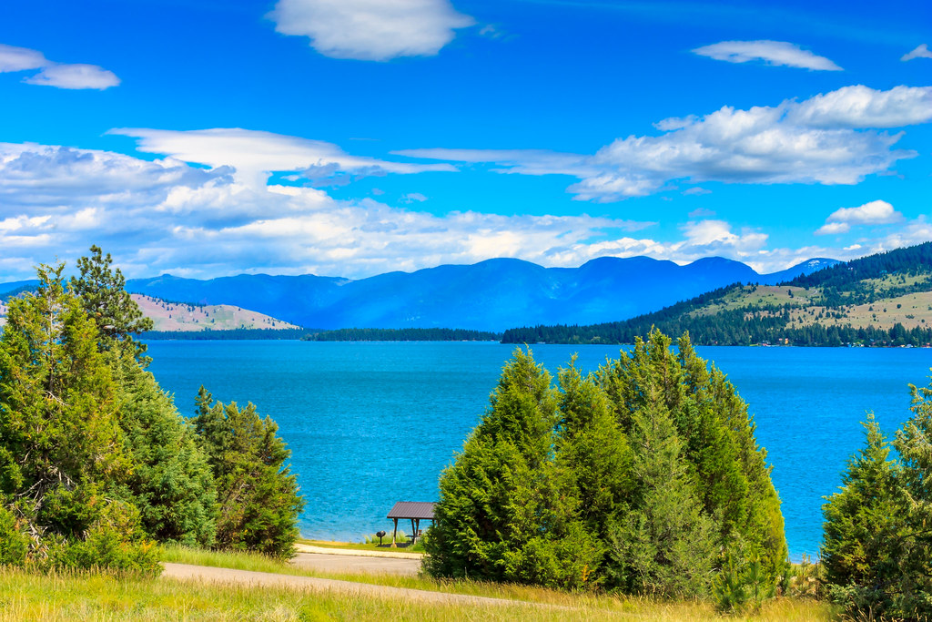 Juniper Jaunt TrailHiking · ~40 min drivePhoto: Always Shooting, CC BY 2.0 (via Flickr)
- TEPEE CREEKHiking · ~9 min drive
- Baldy MountainHiking · ~24 min drive
- TEEPEE MOUNTAINHiking · ~6 min drive
- Mill Creek Truck TrailHiking · ~6 min drive
- Chippy CreekHiking · ~12 min drive
- KOO KOO SINT RIDGEHiking · ~41 min drive
- Snowstorm-Rock CreekHiking · ~6 min drive
- SLIMMER CREEKHiking · ~35 min drive
Route details
- Distance
- 6.3 mi round trip
- Climbing
- About 2,629 ft
- Summit
- 6,992 ft
- Difficulty
- Hard
- Time
- About 2.5 hours
Questions about this route
How long is the SNOWSTORM RIDGE on Snowstorm Mountain?
About 6.3 mi round trip.
How much elevation gain is on the SNOWSTORM RIDGE?
About 2,629 ft of climbing round trip.
How hard is the SNOWSTORM RIDGE?
It is rated hard.
How long does the SNOWSTORM RIDGE take?
About 2.5 hours round trip.
