Red Cub Trail
- 4.7 mi
- round trip
- 2,731 ft
- climb
- 9,063 ft
- high point
- Out and back
- route
Caution at last check
Agency alerts are in effect for this area; weather is marginal · USFS, OpenWeather · checked 19 h ago
Is Red Cub Trail open right now?
Closure in the area
There's a closure order in Custer Gallatin National Forest. It doesn't name Red Cub Trail, so check the source for the area it covers (16 listed).
NFSR #1700 South Plateau Road Closure
Agency closure covering Custer Gallatin National Forest · USFS · Custer Gallatin National Forest
Lonesomewood Prescribed Fire Area, Road, and Trail Closure
Agency closure covering Hebgen Lake Ranger District · Order 01-11-07-26-03 · USFS · Hebgen Lake Ranger District
South Plateau Road #1700 Opening Delayed
Agency closure covering Hebgen Lake Ranger District · USFS · Hebgen Lake Ranger District
Hyalite Porcupine Buffalo Horn Summer Interim Travel Order and Map and Order # 01-11-00-26-02
Agency closure covering Custer Gallatin National Forest · Order 01-11-00-26-02 · USFS · Custer Gallatin National Forest
Hyalite Porcupine Buffalo Horn Winter Interim Travel Order and Map Order Number: #01-11-00-26-01
Agency closure covering Custer Gallatin National Forest · USFS · Custer Gallatin National Forest
As of · Source: USFS · Custer Gallatin National Forest. Agencies don't list every closure — check before you go.
Red Cub Trail is a hard hike in the Hebgen Lake Ranger District of Custer Gallatin National Forest in Montana, managed by the Forest Service. The trail is an out-and-back route of about 9.5 miles, with a one-way climb of roughly 2,366 feet from the 7,062-foot starting point to the 9,063-foot high point. The climb is front-loaded, and the steepest stretch comes at about 2.3 miles in, with a grade of 26 percent. The trail is a long, steep day. Plan for a round trip of about 9.5 miles and a total gain of about 2,731 feet. The nearest town is Hebgen Lake, and the trail sits within the Hebgen Lake Ranger District. Mount Hebgen is about 1.3 miles away, and Dutchman Basin and the Skyline Trail are both within about 3 miles. For an overnight base, Cabin Creek Cabin is about 3.1 miles off.
- Mount HebgenHiking1.3 mi
- Dutchman BasinHiking2.5 mi
- Skyline TrailHiking2.7 mi
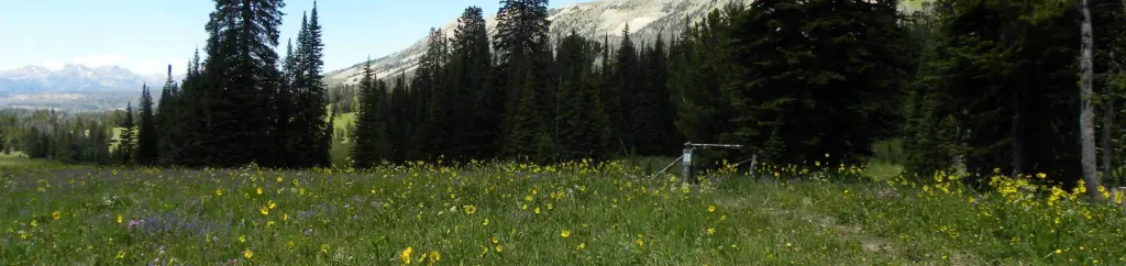 Cabin Creek CabinCampingPhoto: Recreation.gov (RIDB) / public domain3.1 mi
- Rainbow Point CampgroundCamping4.5 mi
- Spring Creek Camp AreaCamping5.2 mi
- Duck CreekCanoeing6.4 mi
 Madison RiverCanoeingPhoto: Jim Peaco, National Park Service, Public domain (via Wikimedia Commons)6.7 mi
Source: Roamze catalog (indexable pages within 10 miles, PostGIS distance)
 Kirkwood TrailHiking · ~9 min drivePhoto: Sam Beebe/Ecotrust, CC BY-SA 3.0 (via Wikimedia Commons)
 HORSE BUTTE LOOP (SNOWMO)Hiking · ~11 min drivePhoto: Roebot, CC BY-SA 2.0 (via Flickr)
- Bacon Rind Trailhead (WK4)Hiking · ~18 min drive
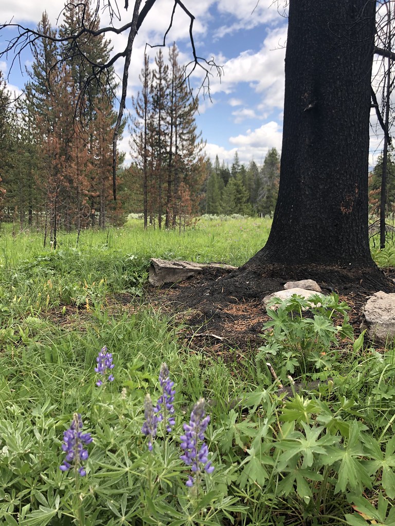 Bacon Rind Creek TrailHiking · ~18 min drivePhoto: Forest Service - Northern Region, Public Domain Mark (via Flickr)
 Fawn Pass TrailHiking · ~18 min drivePhoto: hesyifei, CC BY-SA 2.0 (via Flickr)
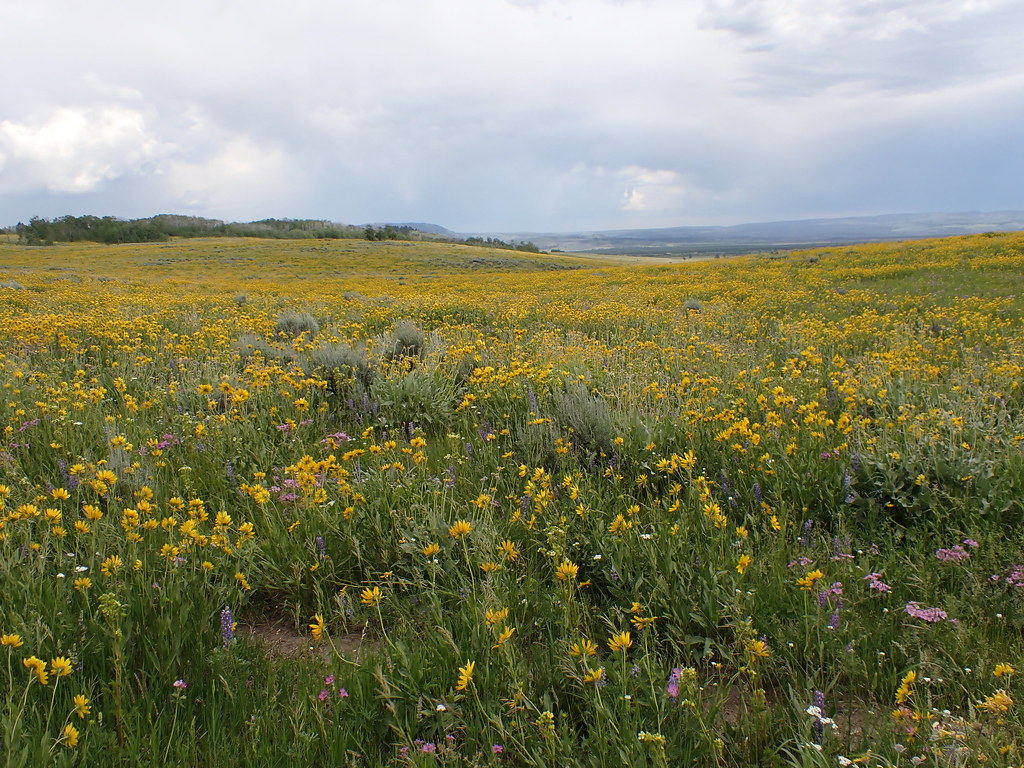 Gneiss Creek TrailHiking · ~11 min drivePhoto: Matt Lavin, CC BY-SA 2.0 (via Flickr)
- Skyline TrailHiking · ~5 min drive
- Fawn Pass Trailhead (WK5)Hiking · ~18 min drive
- Fawn Pass Spur/Bacon Rind TH TrailHiking · ~18 min drivePhoto: Forest Service - Northern Region, Public Domain Mark (via Flickr)
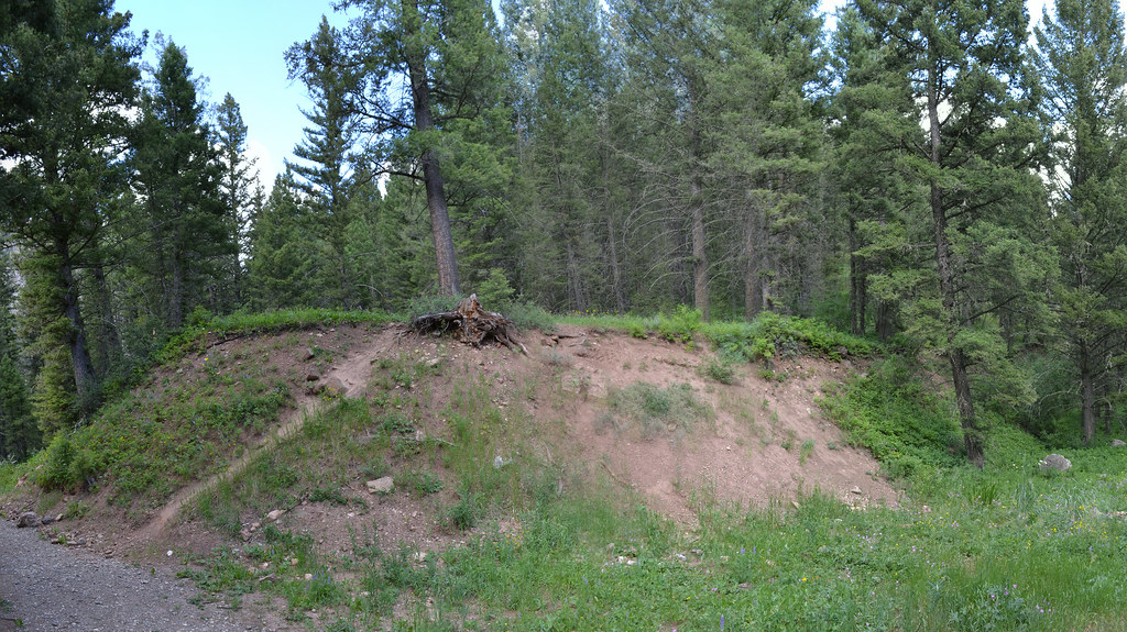 Cabin CreekHiking · ~12 min drivePhoto: inkenbrandt, CC BY 2.0 (via Flickr)
Also worth it near here
Map and trail data © OpenStreetMap contributors
