Raptor View
- 5.1 mi
- round trip
- 2,110 ft
- climb
- 8,507 ft
- high point
- Out and back
- route
Caution today
Agency alerts are in effect for this area; weather is good · USFS, OpenWeather · checked 2 h ago
Is Raptor View open right now?
Closure in the area
There's a closure order in Bozeman Ranger District. It doesn't name Raptor View, so check the source for the area it covers (17 listed).
Hyalite Canyon South Road Closure Order
Agency closure covering Bozeman Ranger District · Order 01-11-06-27-04 · USFS · Bozeman Ranger District
Sourdough/Bozeman Creek Trailhead and Trail Closure
Agency closure covering Bozeman Ranger District · Order 01-11-06-27-02 · USFS · Bozeman Ranger District
NFSR #1700 South Plateau Road Closure
Agency closure covering Custer Gallatin National Forest · USFS · Custer Gallatin National Forest
Storm Castle Creek Trail #185 Temporarily Closed Due to Storm Damage
Agency closure covering Bozeman Ranger District · Order 01-11-06-26-07 · USFS · Bozeman Ranger District
Hyalite Porcupine Buffalo Horn Summer Interim Travel Order and Map and Order # 01-11-00-26-02
Agency closure covering Custer Gallatin National Forest · Order 01-11-00-26-02 · USFS · Custer Gallatin National Forest
As of · Source: USFS · Bozeman Ranger District. Agencies don't list every closure — check before you go.
Raptor View is a 5.1-mile out-and-back hike in the Bozeman Ranger District of Custer Gallatin National Forest in Montana. It's a moderate route with a total elevation gain of 2,110 feet, climbing from a low of about 6,400 feet to a high of roughly 8,500 feet. The Forest Service manages the land, and the trail is open year-round. The trail has a natural surface, and it is open to both horses and bikes. Bridger Bowl sits just 0.1 mile away, and Raptor View North is 0.4 mile off. Within a few miles are the South To Sweden cross-country ski route and the Battle Ridge campground.
Local outfitters
- Yellowstone Safari Company10 mi away
Not on Roamze yet. Their page has how to reach them.
- Bridger BowlHiking0.1 mi
 Raptor View NorthHikingPhoto: Matt Lavin, CC BY-SA 2.0 (via Wikimedia Commons)0.4 mi
- South To SwedenCross-country skiing0.9 mi
- Lower ReplicaRock climbing1.8 mi
- Wolverine BowlRock climbing1.8 mi
- Battle Ridge CabinCamping4.1 mi
- Battle RidgeCamping4.8 mi
 East Gallatin RiverCanoeingPhoto: Mike Cline, Public domain (via Wikimedia Commons)9.1 mi
Source: Roamze catalog (indexable pages within 10 miles, PostGIS distance)
- Raptor View NorthHiking · Next doorPhoto: Matt Lavin, CC BY-SA 2.0 (via Wikimedia Commons)
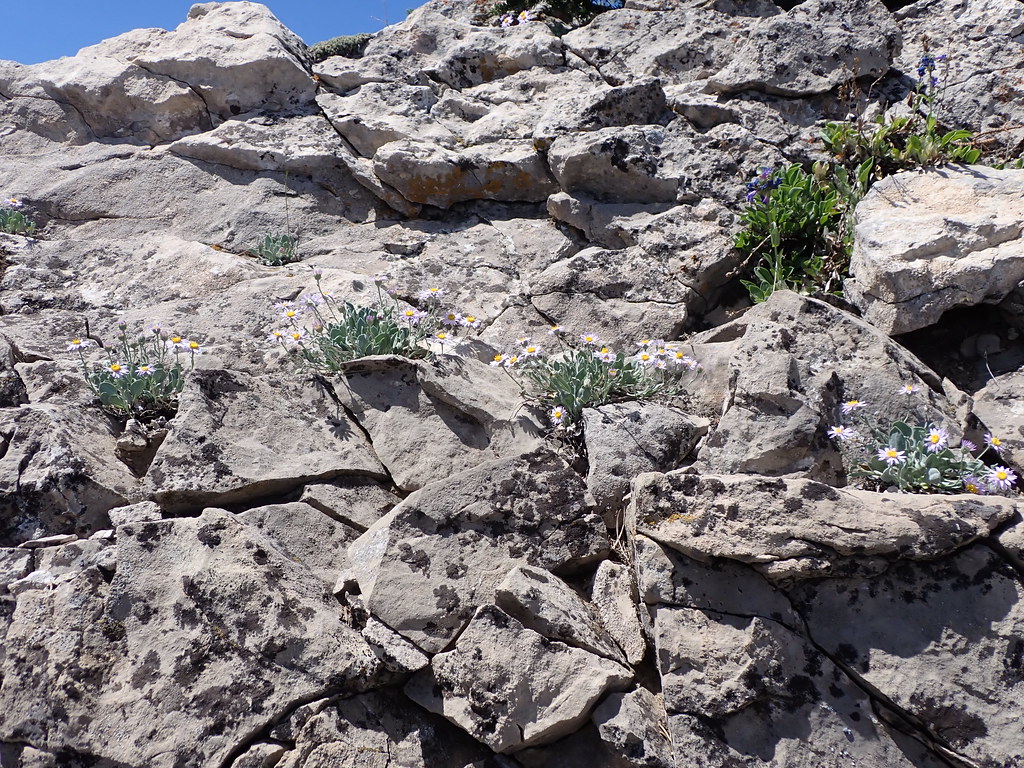 East Bridger SouthHiking · ~2 min drivePhoto: Matt Lavin, CC BY-SA 2.0 (via Flickr)
 South Fork Brackett CreekHiking · ~3 min drivePhoto: Matt Lavin, CC BY-SA 2.0 (via Flickr)
 Fairy Creek TrailHiking · ~8 min drivePhoto: Forest Service - Northern Region, Public Domain Mark (via Flickr)
 Meadow Loop (North)Hiking · ~2 min drivePhoto: Matt Lavin, CC BY-SA 2.0 (via Flickr)
 Bridger FoothillsHiking · ~13 min drivePhoto: Matt Lavin, CC BY-SA 2.0 (via Flickr)
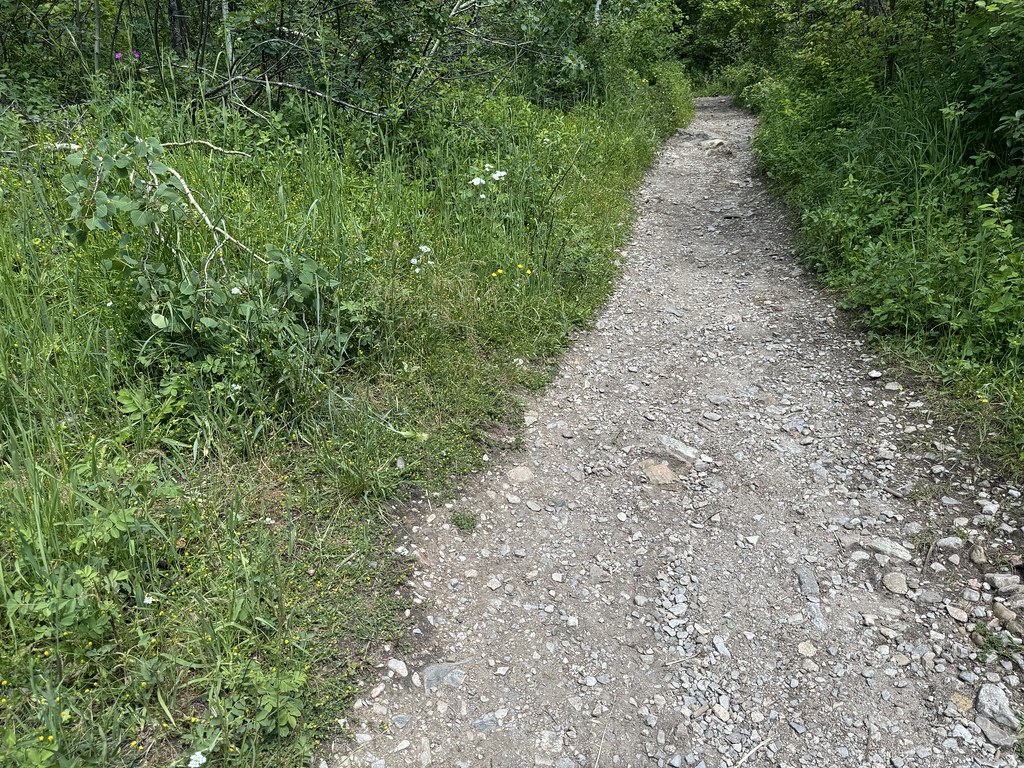 Middle Cottonwood TrailHiking · ~8 min drivePhoto: Matt Lavin, CC BY-SA 2.0 (via Flickr)
- Bangtail Divide TrailHiking · ~7 min drive
 Fairy LakeshoreHiking · ~11 min drivePhoto: Forest Service - Northern Region, Public Domain Mark (via Flickr)
 Shafthouse HillHiking · ~14 min drivePhoto: Forest Service - Northern Region, Public Domain Mark (via Flickr)
