Petty Mountain
- 11.6 mi
- round trip
- 1,013 ft
- climb
- 7,269 ft
- high point
- Out and back
- route
Is Petty Mountain open right now?
Alert in the area
The Forest Service lists an alert for Lolo National Forest.
East Fork Big Creek Road & Trail Closure- Superior Ranger District
Agency alert covering Lolo National Forest · Order 26-003- · USFS · Lolo National Forest
As of · Source: USFS · Lolo National Forest. Agencies don't list every closure — check before you go.
Petty Mountain is a hard out-and-back hike in the Ninemile Ranger District of Montana's Lolo National Forest, managed by the Forest Service. The trail runs about 11.6 miles and rises about 1,013 feet from its low point of 5,277 feet to the high point of 7,269 feet. Bikes are allowed on the trail, and the surface is natural. The hike is open year-round. Several shorter trails sit close by. Albert-Petty Tie is about 0.3 miles away, and Albert Creek is about 1.2 miles away. Petty Pasture is about 2.8 miles away, and the Bighorm interpretive trail is about 4.1 miles away.
Local outfitters
- Granite Peak RV Resort11 mi away
Not on Roamze yet. Their page has how to reach them.
Keep exploring — more trails worth the drive
 Photo: Forest Service - Northern Region, Public Domain Mark (via Flickr)
Ch-Paa-Qn Peak
~21 min drive
5.17-mile out-and-back trail to Ch-Paa-Qn Peak in Montana with 1,893 ft of elevation gain.
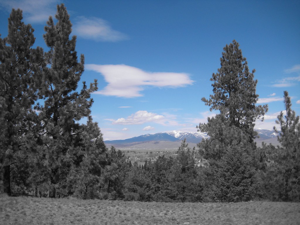 Photo: Evan-Lovely, CC BY-SA 2.0 (via Flickr)
HAYES POINT CUTOFF
~25 min drive
1.34-mile out-and-back trail in Montana with 734 ft elevation gain.
HIKE
Albert Creek
~2 min drive
11.56-mile out-and-back trail in Montana with 2,401 ft elevation gain.
HIKE
Blue Mountain Horse/hiker A
~26 min drive
0.96-mile out-and-back trail in Montana with 162 ft of elevation gain.
Photo: Evan-Lovely, CC BY-SA 2.0 (via Flickr)BLUE MTN HORSE/HIKER/BIKE
~25 min drive
3.02-mile out-and-back trail in Montana with 1,097 ft elevation gain
Photo: Evan-Lovely, CC BY-SA 2.0 (via Flickr)BLUE MTN HORSE/HIKER NRT TIE
~25 min drive
2.1-mile out-and-back trail in Montana with 721 ft elevation gain.
HIKE
Albert Point
~3 min drive
5.84-mile out-and-back trail in Montana with 672 ft elevation gain.
 Photo: Evan-Lovely, CC BY-SA 2.0 (via Flickr)
BLUE MTN M/C DEADMAN RIDGE
~26 min drive
5.14-mile out-and-back trail in Montana with 1,391 ft elevation gain and loss.
HIKE
Albert-Petty Tie
Next door
1.23-mile out-and-back trail in Montana with 518 ft of elevation gain.
HIKE
Petty Pasture
~5 min drive
6.10-mile out-and-back trail in Montana with 2,611 ft elevation gain.
Route details
- Distance
- 11.6 mi round trip
- Climbing
- About 1,013 ft
- Starts at
- ALBERT TRAILHEAD (about 5,489 ft)
- Summit
- 7,275 ft
- Difficulty
- Hard
- Time
- About 4.5 hours
Getting there
Park at ALBERT TRAILHEAD.
Season
Season: Year-round.
Questions about this route
How long is the Petty Mountain on Petty Mountain?
About 11.6 mi round trip from ALBERT TRAILHEAD (about 5,489 ft).
How much elevation gain is on the Petty Mountain?
About 1,013 ft of climbing round trip.
How hard is the Petty Mountain?
It is rated hard.
Where does the Petty Mountain start?
ALBERT TRAILHEAD (about 5,489 ft).
How long does the Petty Mountain take?
About 4.5 hours round trip.
When is the best time for the Petty Mountain?
Year-round.
Conditions and forecast on Petty Mountain
Daily highs and lows, wind and the chance of precipitation at the summit and route start for the next 7 days, from the Open-Meteo model.
