Paradise Point Trail
 Photo: Greg Willis from Denver, CO, usa, CC BY-SA 2.0 (via Wikimedia Commons)
- May–Sep
- best months
Is Paradise Point Trail open right now?
Closure in the area
There's a closure order in Glacier National Park. It doesn't name Paradise Point Trail, so check the source for the area it covers.
Going-to-the-Sun Road Seasonal Closure
Park closure covering Glacier National Park · NPS · Glacier National Park
As of · Source: NPS · Glacier National Park. Agencies don't list every closure — check before you go.
Paradise Point Trail is a National Park Service trail in Glacier National Park in Montana, managed by the National Park Service and set within the park's boundaries. The trailhead is the Two Medecine South Shore Trailhead, and the route falls within the park's network of points of interest. Summer is the most comfortable time to visit. July and August typically bring highs around 74°F and lows in the mid-40s, according to typical averages from a nearby weather station. Winters are severe, with January highs near 30°F and lows around 13°F. The trail has restrooms, and a fee is charged for access. That makes it a practical base for exploring the surrounding area. Scenic Point lies just 0.4 miles away, and Running Eagle Falls Nature Trail is about 1.3 miles off. Two Medicine Creek, a paddling spot, is 0.6 miles away, and Oldman Lake is roughly 4 miles away.
Local outfitters
- North American RV Park & Yurt Village31 mi away
- Rocky Mountain Outfitter48 mi away
Not on Roamze yet. Their page has how to reach them.
 Scenic PointHikingPhoto: GlacierNPS, Public Domain Mark (via Flickr)0.4 mi
- Two Medicine CreekCanoeing0.6 mi
 Running Eagle Falls Nature TrailHikingPhoto: Greg Willis from Denver, CO, usa, CC BY-SA 2.0 (via Wikimedia Commons)1.3 mi
 Oldman LakeHikingPhoto: ludger.heide, CC BY-SA 2.0 (via Flickr)4 mi
- Lake IsabelHiking6.3 mi
 Buffalo LakesHikingPhoto: Sam Beebe, CC BY 2.0 (via Flickr)8.2 mi
 Two Medicine RiverCanoeingPhoto: Steve Wilson, CC BY-SA 2.0 (via Wikimedia Commons)8.2 mi
- Milk River Ridge BdyHiking8.5 mi
Source: Roamze catalog (indexable pages within 10 miles, PostGIS distance)
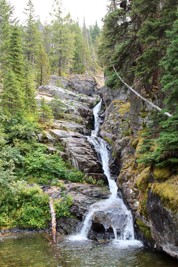 Aster ParkHiking · ~1 min drivePhoto: daveynin, CC BY 2.0 (via Flickr)
- Running Eagle Falls Nature TrailHiking · ~2 min drivePhoto: Greg Willis from Denver, CO, usa, CC BY-SA 2.0 (via Wikimedia Commons)
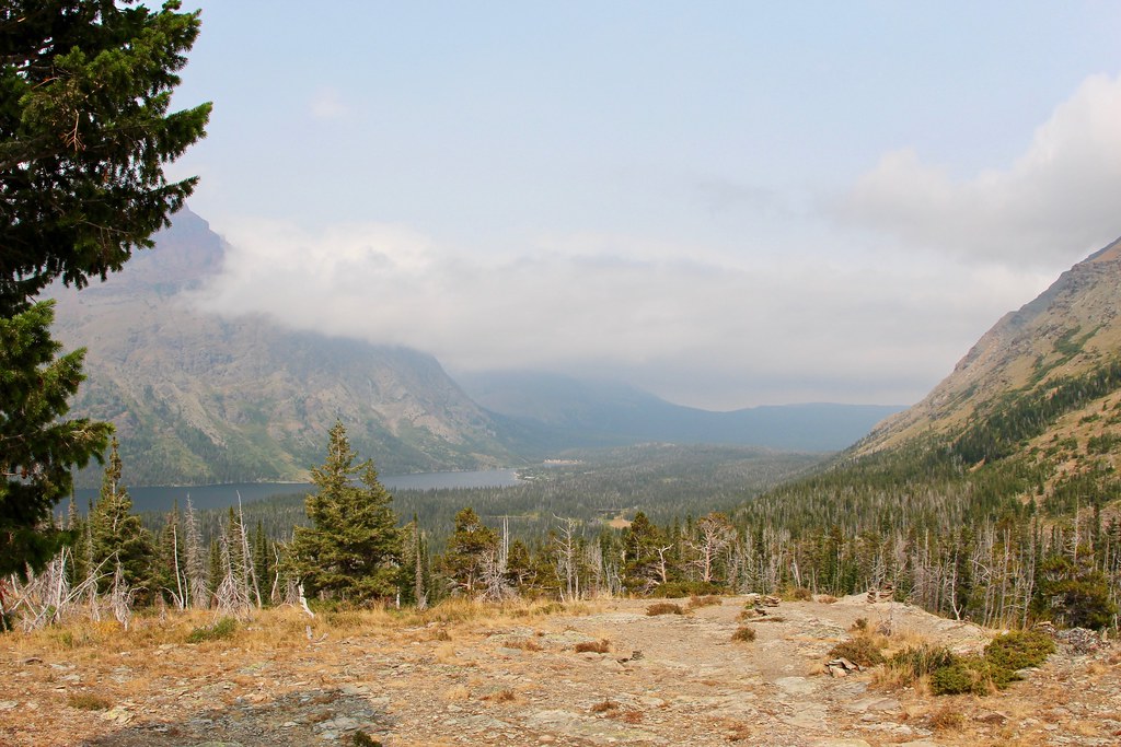 Two Med South ShoreHiking · ~3 min drivePhoto: daveynin, CC BY 2.0 (via Flickr)
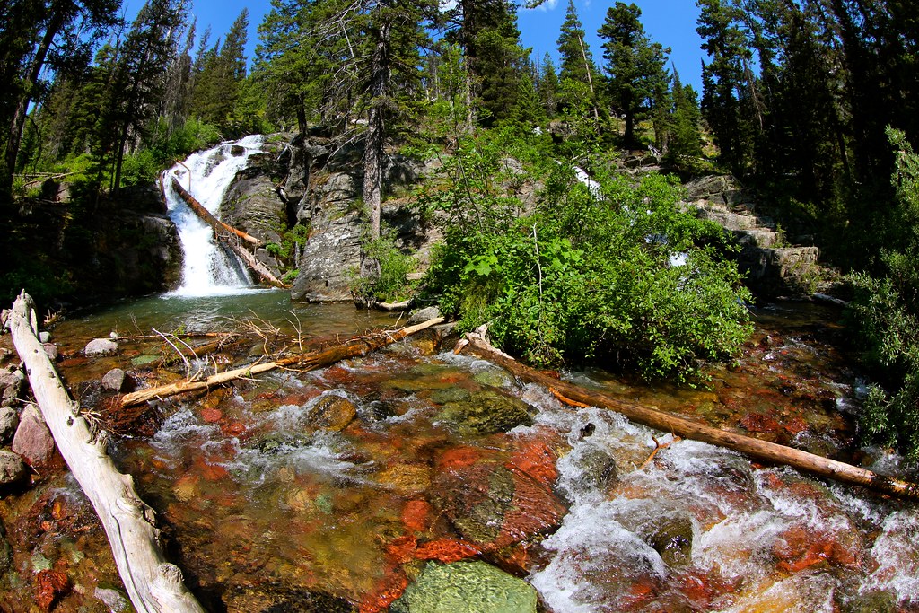 Dawson PassHiking · ~4 min drivePhoto: roy.luck, CC BY 2.0 (via Flickr)
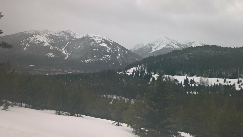 Elk MountainHiking · ~24 min drivePhoto: JimsFlicker, CC BY 2.0 (via Flickr)
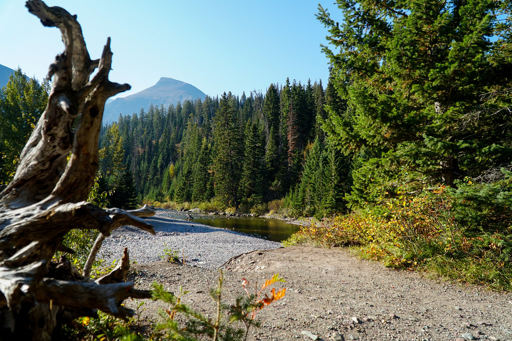 Running Eagle FallsHiking · ~2 min drivePhoto: GlacierNPS, Public Domain Mark (via Flickr)
- Scenic PointHiking · Next doorPhoto: GlacierNPS, Public Domain Mark (via Flickr)
 Dry ForkHiking · ~4 min drivePhoto: Arbron, CC BY 2.0 (via Flickr)
- FieldingHiking · ~22 min drive
- Cut Bank PassHiking · ~15 min drive
Best time to visit Paradise Point Trail
Best months: May–September. Best months have typical highs of 55–85 °F, lows of 30 °F or warmer (32 °F where the station doesn't record snow), at most one snowy day and no more than 12 wet days.
Jan
30° / 13°
Feb
30° / 13°
Mar
37° / 19°
Apr
46° / 27°
May
56° / 34°
Jun
64° / 41°
Jul
74° / 46°
Aug
74° / 44°
Sep
63° / 38°
Oct
50° / 29°
Nov
36° / 22°
Dec
29° / 15°
Typical high / low (°F) and days with rain or snow, 1991–2020. Measured at E Glacier, MT, 7.2 mi away at 4,806 ft. This station doesn't record snowfall. Source: NOAA NCEI U.S. Climate Normals 1991–2020.
