Nature Trail
- 0.4 mi
- loop
- 27 ft
- climb
- 3,632 ft
- high point
- Loop
- route
- Apr–Oct
- best months
Is Nature Trail open right now?
Alert in the area
The Forest Service lists 2 alerts for Bitterroot National Forest.
Pile burning on West Fork Ranger and Darby-Sula Districts Nov. 3
Agency alert covering Bitterroot National Forest · USFS · Bitterroot National Forest
Two Prescribed Burns Planned for the week of Oct. 5 - Piquett Creek & Cameron Gap
Agency alert covering Bitterroot National Forest · USFS · Bitterroot National Forest
As of · Source: USFS · Bitterroot National Forest. Agencies don't list every closure — check before you go.
The Nature Trail is a short, easy loop of about 0.43 miles on natural surface, set in the Stevensville Ranger District of the Bitterroot National Forest in Montana. The trail rises only 27 feet, from a low of about 3,600 feet to a high of about 3,632 feet, and the Forest Service manages the surrounding land. Summer and early fall are the most comfortable times to go. Typical averages from a nearby weather station in Stevensville show July highs around 85°F with lows near 49°F, and September highs around 74°F with lows near 40°F. The trail sits at the Bass Creek Trailhead, and the trip takes about half an hour. The Fitness Trail and the Bass Creek climbing area are each about 0.1 mile away, and Larry Creek is about 0.2 mile off. Charles Waters Campground, about 0.3 mile away, is the closest place to camp.
Local outfitters
- Granite Peak RV Resort27 mi away
Not on Roamze yet. Their page has how to reach them.
Best time to go · Apr–Oct
Best time to visit Nature Trail
Best months: April–October. Best months have typical highs of 55–85 °F, lows of 30 °F or warmer (32 °F where the station doesn't record snow), at most one snowy day and no more than 12 wet days.
Jan
35° / 19°
9 wet · 3 snow
Feb
38° / 21°
8 wet · 2 snow
Mar
50° / 26°
9 wet · 1 snow
Apr
58° / 32°
9 wet
May
68° / 39°
10 wet
Jun
75° / 45°
10 wet
Jul
85° / 49°
6 wet
Aug
84° / 47°
6 wet
Sep
74° / 40°
7 wet
Oct
58° / 32°
8 wet
Nov
43° / 25°
9 wet · 1 snow
Dec
33° / 19°
9 wet · 2 snow
Typical high / low (°F) and days with rain or snow, 1991–2020. Measured at Stevensville, MT, 4.8 mi away at 3,375 ft. Source: NOAA NCEI U.S. Climate Normals 1991–2020.
Keep exploring — more trails worth the drive
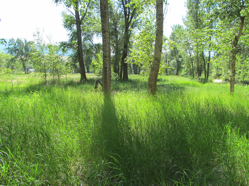 Photo: reverendlukewarm, CC BY-SA 2.0 (via Flickr)
bitteroot runoff trail
~23 min drive
12.2-mile out-and-back trail in Montana with 2,795 ft elevation gain
HIKE
Ecology Trail
~1 min drive
1.39-mile out-and-back trail in Montana with 225 ft gain
HIKE
Informal ridge trail
~2 min drive
1.44-mile out-and-back ridge trail in Montana with 1,038 ft gain
HIKE
SPRUCE CREEK LAKE
~21 min drive
11.8-mile out-and-back to Spruce Creek Lake in Idaho with 4,531 ft gain/loss
HIKE
Little St. Joe
~3 min drive
5.47-mile out-and-back trail in Montana with 2,966 ft elevation gain.
HIKE
Horsehoe Loop
~3 min drive
0.64-mile out-and-back trail in Montana with 123 ft elevation gain.
HIKE
Sweathouse Creek
~20 min drive
3.79-mile out-and-back trail in Montana with 1,095 ft of elevation gain.
HIKE
STORM CREEK
~22 min drive
13.86-mile out-and-back trail in Idaho with 1,596 ft elevation gain and loss.
HIKE
Bass Creek
~5 min drive
17.37-mile out-and-back trail in Montana with 3,588 ft gain.
HIKE
North Zone Loop
~3 min drive
0.94-mile out-and-back trail in Montana with 90 ft of elevation gain.

