
Rocky Mountain Outfitter
Hiking business nearby (~35 mi away) — hasn't claimed their Roamze page yet
Free — you'll pick up right here.
Watch this trail
Sign up to watch it — saving subscribes you to gate, closure and report changes.
Montana
14.0 mi
Distance
464 ft
Gain
4h 53m
Time
No agency boundary, access route or field report is mapped to it — so there is no verdict, and we won't guess. We'll tell you the moment this trail has something to say.
Covered nearby
Trails within 25 miles where we do have a current picture.
Nobody's filed a report here yet — be the first.
Why you'll love it
Murr Creek
AI-suggested draft · review before you go
No permit or access details on file for this trail — check with the local land manager before you go.
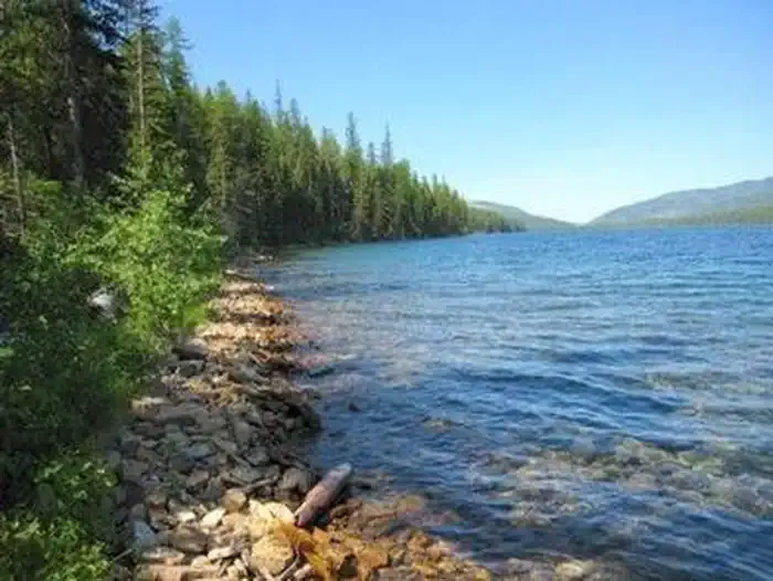
Murr Creek Trail is a moderate-length day hike through western Montana's creek-bottom terrain, offering a scenic journey along riparian corridors with gentle elevation gain. This nearly 14-mile route provides excellent opportunities to observe montane forest ecosystems and stream habitats while remaining accessible to most hikers. The trail's low gradient makes it ideal for those seeking a longer outing without extreme elevation challenges.
Big Rock Creek
~9 min drive
Remote 24-mile backcountry trek with 2,968 ft gain through Montana high country.
Snowstorm-Rock Creek
~12 min drive
Easy 2.5-mile creek drainage hike near Rock Creek.
Mcgregor Shoreline
~13 min drive
Easy lakeside walk with scenic shoreline views and minimal elevation gain.
South Pleasant Valley Road Trail
~27 min drive
Moderate out-and-back valley trail through Pleasant Valley, Montana.
Chippy Creek
~17 min drive
Challenging 14.8-mile creek drainage hike with 2,535 ft elevation gain.
Barnum Creek
~22 min drive
Steep 3-mile climb gaining 2,000 ft through forest to subalpine views.
Beatrice Saddle
~30 min drive
Steady 5-mile climb to a scenic mountain saddle with moderate elevation gain.
West Wetlands Trail
~28 min drive
Easy out-and-back wetlands walk through Montana wildlife habitat.
Bear Creek (D5)
~20 min drive
Challenging 14.26-mile backcountry trail with 3,419 ft elevation gain.
Kenelty Mountain
~31 min drive
Steep 2.79-mile climb to Kenelty Mountain with 928 ft elevation gain.
Local operatorsoffering guided trips. You book directly with them — Roamze doesn’t take a cut.
Rocky Mountain Outfitter
Hiking business nearby (~35 mi away) — hasn't claimed their Roamze page yet