Mortimer Pass
- 4.0 mi
- round trip
- 380 ft
- climb
- 6,463 ft
- high point
- Out and back
- route
Is Mortimer Pass open right now?
Alert in the area
The Forest Service lists an alert for Rocky Mountain Ranger District.
Camp Creek Fire Trail Closure
Agency alert covering Rocky Mountain Ranger District · Order 01-10- · USFS · Rocky Mountain Ranger District
As of · Source: USFS · Rocky Mountain Ranger District. Agencies don't list every closure — check before you go.
Mortimer Pass is a moderate hike of about 4 miles in the Rocky Mountain Ranger District of the Helena-Lewis and Clark National Forest in western Montana. It is a short out-and-back that gains roughly 380 feet, with the low point at about 6,073 feet and the high around 6,463 feet. The Forest Service manages the land, and the trail is open year round. The trail is natural-surfaced and allows both horses and bikes. It is not an accessible route. Mortimer Gulch lies about 1.3 miles away, and Blacktail Creek is about 2.5 miles off. For an overnight stay, Mortimer Gulch Campground is about 3.1 miles away, and the Sun River offers canoeing at about 3.2 miles.
Local outfitters
- Choteau Mountain View RV Campground31 mi away
Not on Roamze yet. Their page has how to reach them.
Keep exploring — more trails worth the drive
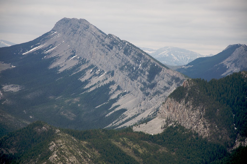 Photo: Sam Beebe, CC BY 2.0 (via Flickr)
Wagner Basin
~6 min drive
0.88-mile out-and-back trail to Wagner Basin in Montana with 244 ft of elevation gain.
Photo: Sam Beebe, CC BY 2.0 (via Flickr)Red Lake Stock
~8 min drive
2.84-mile out-and-back trail to Red Lake in Montana with 1,012 ft gain
HIKE
Mortimer Gulch
~2 min drive
11.52-mile out-and-back trail in Montana with 1,157 ft elevation gain.
 Photo: Sam Beebe, CC BY 2.0 (via Flickr)
Beaver-Mortimer Connector
~6 min drive
2.98-mile out-and-back trail in Montana with 274 ft gain.
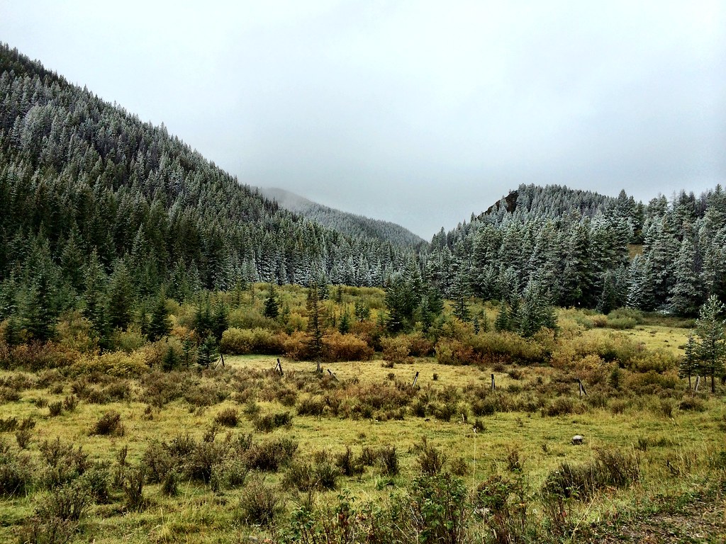 Photo: Forest Service - Northern Region, CC BY 2.0 (via Flickr)
North Fork Beaver-Leavitt
~13 min drive
5.38-mile out-and-back trail in Montana with 1,055 ft gain.
HIKE
Blacktail Creek
~4 min drive
16.61-mile out-and-back trail in Montana with 2,316 ft elevation gain.
HIKE
Fish & Game Cabin
~6 min drive
1.04-mile out-and-back trail to Fish & Game Cabin in Montana
HIKE
Arsenic Creek
~6 min drive
9.16-mile out-and-back trail in Montana with 1,367 ft elevation gain.
HIKE
Big George Gulch
~5 min drive
13.85-mile out-and-back trail in Montana with 1,501 ft elevation gain.
HIKE
Lange Creek
~7 min drive
Lange Creek is a 2.19-mile out-and-back trail in Montana with 40 feet of elevation gain.

