Middle View Trail
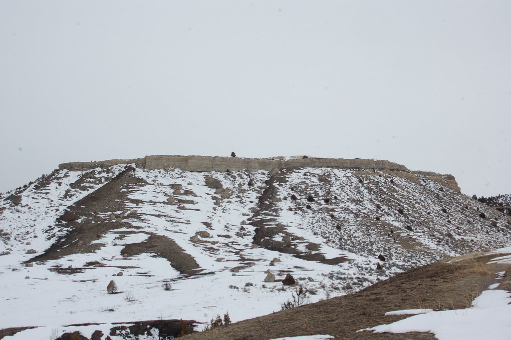
 Photo: Matt Lavin, CC BY-SA 2.0 (via Flickr)
- 1.4 mi
- round trip
- 1,302 ft
- climb
- 5,251 ft
- high point
- Out and back
- route
- Apr–Oct
- best months
Middle View Trail is a moderate out-and-back hike in Lewis and Clark Caverns State Park in Montana, managed by State Fish and Wildlife. The trail is 2.8 miles long, with a total elevation gain of 1,302 feet, and it starts and ends at about 4,731 feet. The climb is front-loaded, with the steepest stretch at 0.23 miles in, where the grade reaches 17 percent. The high point is 5,251 feet. Summer is the most comfortable time to go. Typical averages from a nearby weather station show July and August highs around 85°F with lows in the mid-50s, while winter brings highs in the upper 30s and regular snow days from December through February. The hike takes about 1.5 hours. Several other trails sit close by, including the DanMor Gypsum Mine Trail about 0.4 miles away and the Cave Gulch Trail and Caverns Exit Trail at about 0.6 miles. For paddling, Jefferson Slough is roughly 9.5 miles away.
Local outfitters
- Yellowstone Safari Company42 mi away
Not on Roamze yet. Their page has how to reach them.
 DanMor Gypsum Mine TrailHikingPhoto: Montanabw, CC BY-SA 3.0 (via Wikimedia Commons)0.4 mi
 Cave Gulch TrailHikingPhoto: AllAroundTheWest, CC BY-SA 2.0 (via Flickr)0.6 mi
 Caverns Exit TrailHikingPhoto: R. Sieben, CC BY 3.0 (via Wikimedia Commons)0.6 mi
- Caverns Entry TrailHikingPhoto: Montanabw, CC BY-SA 3.0 (via Wikimedia Commons)0.6 mi
- Limespur Fishing Access TrailHikingPhoto: R. Sieben, CC BY 3.0 (via Wikimedia Commons)0.7 mi
- East Side TrailHiking0.9 mi
- Greer Gulch Loop TrailHikingPhoto: R. Sieben, CC BY 3.0 (via Wikimedia Commons)0.9 mi
- Jefferson SloughCanoeing9.5 mi
Source: Roamze catalog (indexable pages within 10 miles, PostGIS distance)
- DanMor Gypsum Mine TrailHiking · Next doorPhoto: Montanabw, CC BY-SA 3.0 (via Wikimedia Commons)
- Cave Gulch TrailHiking · Next doorPhoto: AllAroundTheWest, CC BY-SA 2.0 (via Flickr)
- ROCK CREEK TRAILHiking · ~20 min drive
- CURLY CREEKHiking · ~27 min drive
- Caverns Exit TrailHiking · ~1 min drivePhoto: R. Sieben, CC BY 3.0 (via Wikimedia Commons)
 Rim TrailHiking · ~33 min drivePhoto: Don Henise, CC BY 2.0 (via Flickr)
- ALBRO LAKEHiking · ~25 min drive
- Lake Louise TrailHiking · ~30 min drive
- Caverns Entry TrailHiking · ~1 min drivePhoto: Montanabw, CC BY-SA 3.0 (via Wikimedia Commons)
- PYRAMID TRAILHiking · ~19 min drive
Best time to visit Middle View Trail
Best months: April–October. Best months have typical highs of 55–85 °F, lows of 30 °F or warmer (32 °F where the station doesn't record snow), at most one snowy day and no more than 12 wet days.
Jan
39° / 24°
5 wet · 4 snow
Feb
42° / 24°
6 wet · 3 snow
Mar
50° / 30°
7 wet · 3 snow
Apr
57° / 36°
10 wet · 1 snow
May
66° / 43°
12 wet
Jun
75° / 50°
11 wet
Jul
85° / 57°
8 wet
Aug
85° / 56°
7 wet
Sep
75° / 48°
6 wet
Oct
60° / 39°
7 wet · 1 snow
Nov
47° / 30°
6 wet · 2 snow
Dec
38° / 23°
6 wet · 4 snow
Typical high / low (°F) and days with rain or snow, 1991–2020. Measured at Norris Madison Pwr House, MT, 26.2 mi away at 4,745 ft. The station sits about 500 ft lower than this place, so expect it a little cooler here. Source: NOAA NCEI U.S. Climate Normals 1991–2020.
Map and trail data © OpenStreetMap contributors
