Caverns Entry Trail
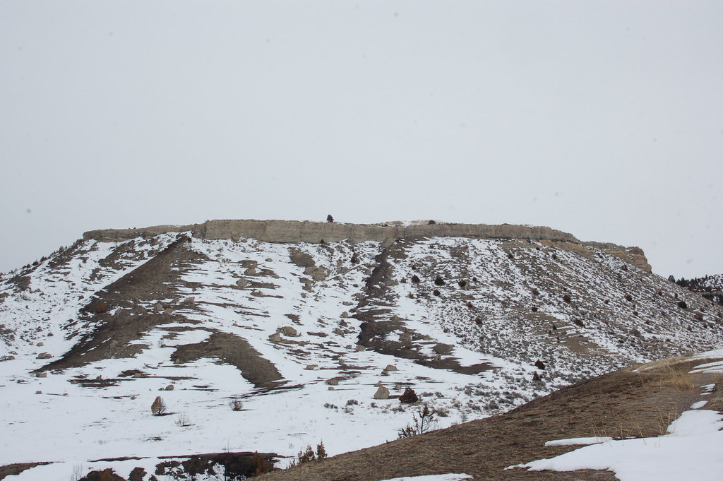
 Photo: Montanabw, CC BY-SA 3.0 (via Wikimedia Commons)
- 0.7 mi
- distance
- 626 ft
- climb
- 5,712 ft
- high point
- Lollipop
- route
- Jul–Sep
- best months
Caverns Entry Trail is a short, easy hike in Lewis and Clark Caverns State Park in Montana, managed by State Fish and Wildlife. The nearest town is La Hood Park, about 2.8 miles away. The trail is 0.67 miles long, with a one-way elevation gain of 626 feet from a starting point around 5,301 feet to a high of about 5,712 feet. The steepest stretch comes at about 0.53 miles in, with a grade of 36 percent. The route also has a total loss of 393 feet, so it's a little more than a climb. Summer is the most comfortable time to go. Typical averages from a nearby weather station show July highs around 81°F with lows near 46°F, while winter highs stay around freezing. Caverns Exit Trail and Cave Gulch Trail both start about 0.1 mile away, and Middle View Trail and Greer Gulch Loop Trail are within a mile.
Local outfitters
- Yellowstone Safari Company42 mi away
Not on Roamze yet. Their page has how to reach them.
Conditions and forecast on Cave Mountain
Daily highs and lows, wind and the chance of precipitation at the summit and route start for the next 7 days, from the Open-Meteo model.
 Caverns Exit TrailHikingPhoto: R. Sieben, CC BY 3.0 (via Wikimedia Commons)0.1 mi
 Cave Gulch TrailHikingPhoto: AllAroundTheWest, CC BY-SA 2.0 (via Flickr)0.1 mi
 Middle View TrailHikingPhoto: Matt Lavin, CC BY-SA 2.0 (via Flickr)0.6 mi
- Greer Gulch Loop TrailHikingPhoto: R. Sieben, CC BY 3.0 (via Wikimedia Commons)0.7 mi
- DanMor Gypsum Mine TrailHikingPhoto: Montanabw, CC BY-SA 3.0 (via Wikimedia Commons)0.9 mi
- Limespur Fishing Access TrailHikingPhoto: R. Sieben, CC BY 3.0 (via Wikimedia Commons)1.2 mi
- East Side TrailHiking1.4 mi
- Jefferson SloughCanoeing9.4 mi
Source: Roamze catalog (indexable pages within 10 miles, PostGIS distance)
- Caverns Exit TrailHiking · Next doorPhoto: R. Sieben, CC BY 3.0 (via Wikimedia Commons)
- Middle View TrailHiking · ~1 min drivePhoto: Matt Lavin, CC BY-SA 2.0 (via Flickr)
- ROCK CREEK TRAILHiking · ~21 min drive
- CURLY CREEKHiking · ~27 min drive
- Greer Gulch Loop TrailHiking · ~1 min drivePhoto: R. Sieben, CC BY 3.0 (via Wikimedia Commons)
- Cave Gulch TrailHiking · Next doorPhoto: AllAroundTheWest, CC BY-SA 2.0 (via Flickr)
- ALBRO LAKEHiking · ~26 min drive
- Lake Louise TrailHiking · ~31 min drive
- DanMor Gypsum Mine TrailHiking · ~2 min drivePhoto: Montanabw, CC BY-SA 3.0 (via Wikimedia Commons)
 Rim TrailHiking · ~33 min drivePhoto: Don Henise, CC BY 2.0 (via Flickr)
Best time to visit Caverns Entry Trail
Best months: July–September. Best months have typical highs of 55–85 °F, lows of 30 °F or warmer (32 °F where the station doesn't record snow), at most one snowy day and no more than 12 wet days.
Jan
32° / 8°
7 wet
Feb
35° / 10°
7 wet
Mar
44° / 19°
9 wet
Apr
51° / 26°
11 wet
May
61° / 34°
13 wet
Jun
70° / 41°
13 wet
Jul
81° / 46°
9 wet
Aug
80° / 44°
8 wet
Sep
69° / 36°
7 wet
Oct
54° / 27°
8 wet
Nov
40° / 16°
8 wet
Dec
31° / 7°
7 wet
Typical high / low (°F) and days with rain or snow, 1991–2020. Measured at Butte Bert Mooney Ap, MT, 31.7 mi away at 5,506 ft. This station doesn't record snowfall. Source: NOAA NCEI U.S. Climate Normals 1991–2020.
Route details
- Distance
- 0.7 mi
- Climbing
- About 626 ft
- Summit
- 5,890 ft
- Difficulty
- Easy
- Time
- About 0.5 hours
Questions about this route
How long is the Caverns Entry Trail on Cave Mountain?
About 0.7 mi.
How much elevation gain is on the Caverns Entry Trail?
About 626 ft of climbing round trip.
How hard is the Caverns Entry Trail?
It is rated easy.
How long does the Caverns Entry Trail take?
About 0.5 hours round trip.
Map and trail data © OpenStreetMap contributors
