Lolo Peak
- 7.7 mi
- round trip
- 2,415 ft
- climb
- 8,248 ft
- high point
- Out and back
- route
Is Lolo Peak open right now?
Alert in the area
The Forest Service lists an alert for Lolo National Forest.
East Fork Big Creek Road & Trail Closure- Superior Ranger District
Agency alert covering Lolo National Forest · Order 26-003- · USFS · Lolo National Forest
As of · Source: USFS · Lolo National Forest. Agencies don't list every closure — check before you go.
Lolo Peak is a hard hike in Montana's Lolo National Forest, within the Missoula Ranger District. The trail is an out-and-back, 7.7 miles long, with a total elevation gain of 2,415 feet. It starts at the Carlton Lake Trailhead and climbs from about 5,800 feet to the summit at 8,248 feet. The trail is a natural-surface route, and horses and bikes are both allowed, so it works for riders and pack animals as well as hikers. The Carlton Lake Trailhead is the parking for the trip, and the trail is open year-round. That makes it a destination any time of year, though summer is the most comfortable stretch. A nearby weather station records typical July averages of about 72°F for the day and 46°F at night. Mill Creek Trail and One Horse Lakes are both within about 3 miles, and the Carlton Lakes Wilderness Trail is about 3 miles away. For an overnight stay, Larry Creek Group Camp sits roughly 9.6 miles from the trailhead.
Local outfitters
- Granite Peak RV Resort17 mi away
Not on Roamze yet. Their page has how to reach them.
- Mill Creek TrailHiking2.2 mi
- MILL CREEKHiking2.3 mi
- ONE HORSE LAKESHiking2.7 mi
- Carlton Lakes Wilderness TrailHiking3.2 mi
- Lolo CreekCanoeing7.7 mi
- Palace WallRock climbing8.8 mi
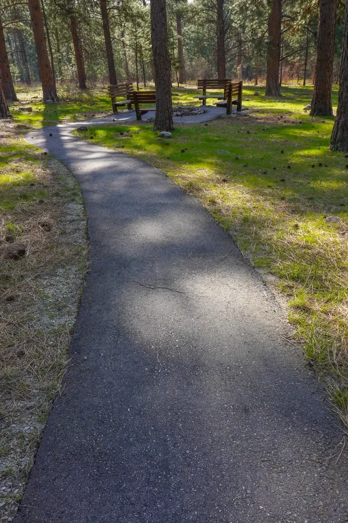 Larry Creek Group CampCampingPhoto: Recreation.gov (RIDB) / public domain9.6 mi
- West Fork Butte LookoutCamping10 mi
Source: Roamze catalog (indexable pages within 10 miles, PostGIS distance)
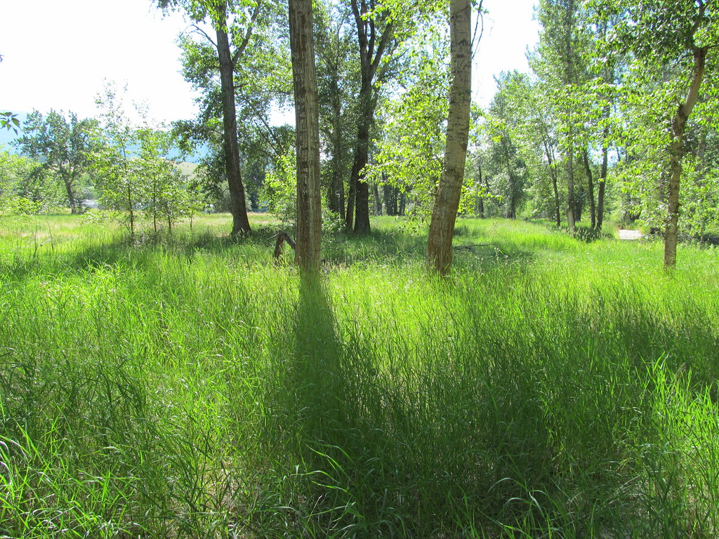 bitteroot runoff trailHiking · ~10 min drivePhoto: reverendlukewarm, CC BY-SA 2.0 (via Flickr)
 BLUE MTN M/C DEADMAN RIDGEHiking · ~14 min drivePhoto: Evan-Lovely, CC BY-SA 2.0 (via Flickr)
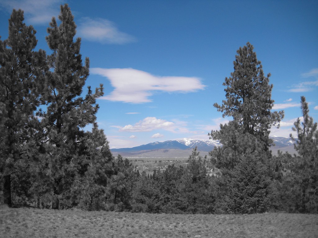 BLUE MTN HORSE/HIKER NRT TIEHiking · ~14 min drivePhoto: Evan-Lovely, CC BY-SA 2.0 (via Flickr)
- Blue Mountain Bike Spur 2Hiking · ~14 min drive
- MILL CREEKHiking · ~4 min drive
- BLUE MTN HORSE/HIKER/BIKEHiking · ~15 min drivePhoto: Evan-Lovely, CC BY-SA 2.0 (via Flickr)
- HAYES POINT CUTOFFHiking · ~14 min drivePhoto: Evan-Lovely, CC BY-SA 2.0 (via Flickr)
- Blue Mountain Horse/hiker AHiking · ~15 min drive
- Carlton Lakes Wilderness TrailHiking · ~5 min drive
 Maclay Flat Nature LoopHiking · ~16 min drivePhoto: Evan-Lovely, CC BY-SA 2.0 (via Flickr)

