Carlton Lakes Wilderness Trail
- 4.1 mi
- round trip
- 2,909 ft
- climb
- 8,351 ft
- high point
- Out and back
- route
Is Carlton Lakes Wilderness Trail open right now?
Alert in the area
The Forest Service lists 2 alerts for Bitterroot National Forest.
Pile burning on West Fork Ranger, Darby-Sula & Stevi Nov. 16 to 19
Agency alert covering Bitterroot National Forest · USFS · Bitterroot National Forest
Two Prescribed Burns Planned for the week of Oct. 5 - Piquett Creek & Cameron Gap
Agency alert covering Bitterroot National Forest · USFS · Bitterroot National Forest
As of · Source: USFS · Bitterroot National Forest. Agencies don't list every closure — check before you go.
Carlton Lakes Wilderness Trail is a hard hike in Montana's Bitterroot National Forest, within the Stevensville Ranger District. The route is an out-and-back of about 8 miles, with a total elevation gain of nearly 2,900 feet. The trail starts at about 6,200 feet and climbs to a high point of 8,351 feet, and the steepest stretch comes within the first mile, where the grade reaches about 28 percent. The climb is front-loaded, so the hardest part of the hike is at the beginning. The round trip covers about 8 miles, and the estimated time is about 4 hours. Lolo Peak lies about 3 miles away, and One Horse Lakes is about 4 miles off. For an overnight stay, Larry Creek Group Camp is about 7 miles away, and Charles Waters Campground is about 8 miles away.
Local outfitters
- Granite Peak RV Resort19 mi away
Not on Roamze yet. Their page has how to reach them.
- Lolo PeakHiking3.2 mi
- ONE HORSE LAKESHiking3.7 mi
- Holloway LakeHiking4.6 mi
- MILL CREEKHiking5.4 mi
- Mill Creek TrailHiking5.4 mi
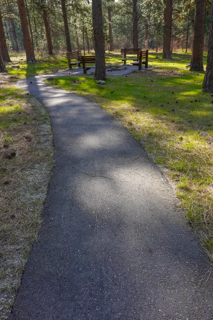 Larry Creek Group CampCampingPhoto: Recreation.gov (RIDB) / public domain7 mi
- Bass CreekRock climbing7.7 mi
- Charles Waters CampgroundCamping7.7 mi
Source: Roamze catalog (indexable pages within 10 miles, PostGIS distance)
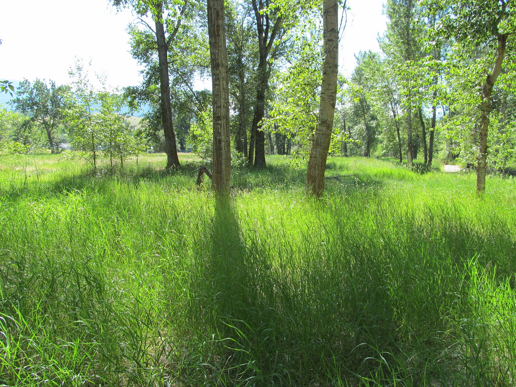 bitteroot runoff trailHiking · ~10 min drivePhoto: reverendlukewarm, CC BY-SA 2.0 (via Flickr)
 BLUE MTN M/C DEADMAN RIDGEHiking · ~16 min drivePhoto: Evan-Lovely, CC BY-SA 2.0 (via Flickr)
 Blue Mountian Bike AHiking · ~17 min drivePhoto: Evan-Lovely, CC BY-SA 2.0 (via Flickr)
- Blue Mountain Bike Spur 2Hiking · ~16 min drive
- Lolo PeakHiking · ~5 min drive
- Blue Mountain Bike BHiking · ~17 min drivePhoto: Evan-Lovely, CC BY-SA 2.0 (via Flickr)
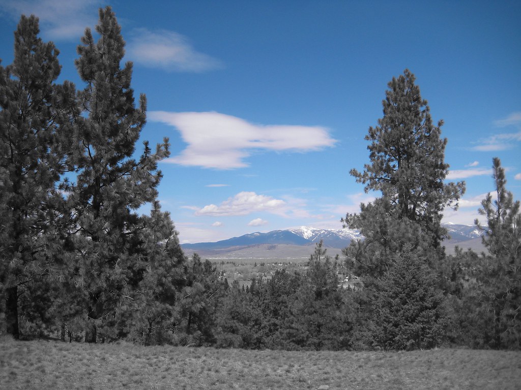 BLUE MTN HORSE/HIKER NRT TIEHiking · ~17 min drivePhoto: Evan-Lovely, CC BY-SA 2.0 (via Flickr)
- Blue Mountain Horse/hiker AHiking · ~17 min drive
- Holloway LakeHiking · ~8 min drive
- BLUE MTN HORSE/HIKER/BIKEHiking · ~17 min drivePhoto: Evan-Lovely, CC BY-SA 2.0 (via Flickr)

Map and trail data © OpenStreetMap contributors
