Last Chance Trail
- 2.0 mi
- round trip
- 87 ft
- climb
- 2,953 ft
- high point
- Out and back
- route
- May–Oct
- best months
Last Chance Trail is a 2-mile easy hike in Montana, about a mile from the town of Saint Phillip. The trail is an out-and-back that starts and ends at roughly 2,950 feet, with a flat profile and a total climb of about 87 feet one way. That makes it a short, low-effort outing, and the route is roughly 4 miles long when you factor in the return. Summer is the most comfortable time to go. Typical averages from a nearby weather station show July and August highs around 82°F with lows in the mid-50s, while winter highs stay near freezing. The trail's flat grade and short length make it an easy addition to a day in Saint Phillip.
 Maah Daah HeyHiking · ~50 min drivePhoto: CLS Rob, CC BY-SA 2.0 (via Flickr)
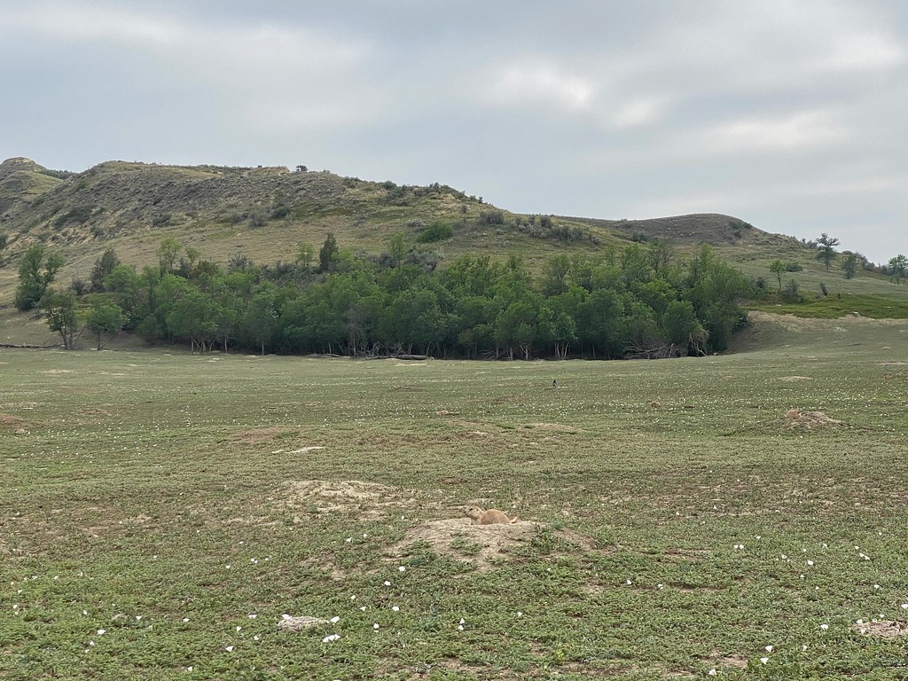 Lone Tree TrailHiking · ~55 min drivePhoto: daveynin, CC BY 2.0 (via Flickr)
 Upper Paddock Creek TrailHiking · ~59 min drivePhoto: Matt-Zimmerman, CC BY 2.0 (via Flickr)
 Maah Daah Hey TrailHiking · ~1h 3m drivePhoto: Forest Service - Northern Region, Public Domain Mark (via Flickr)
 Ponderosa TrailHiking · ~52 min drivePhoto: Larry D. Moore, CC BY 4.0 (via Wikimedia Commons)
 Roundup Camp TrailHiking · ~58 min drivePhoto: Sharon Mollerus, CC BY 2.0 (via Flickr)
- Buffalo GapHiking · ~45 min drive
- Buffalo GapHiking · ~44 min drive
 East Loop TrailHiking · ~53 min drivePhoto: CLS Rob, CC BY-SA 2.0 (via Flickr)
- Mike Auney TrailHiking · ~57 min drive
Best time to visit Last Chance Trail
Best months: May–October. Best months have typical highs of 55–85 °F, lows of 30 °F or warmer (32 °F where the station doesn't record snow), at most one snowy day and no more than 12 wet days.
Jan
27° / 9°
8 wet
Feb
30° / 12°
8 wet
Mar
42° / 21°
9 wet
Apr
53° / 30°
9 wet
May
63° / 41°
11 wet
Jun
73° / 50°
11 wet
Jul
82° / 57°
9 wet
Aug
82° / 55°
7 wet
Sep
71° / 46°
7 wet
Oct
55° / 33°
8 wet
Nov
40° / 22°
8 wet
Dec
30° / 13°
8 wet
Typical high / low (°F) and days with rain or snow, 1991–2020. Measured at Carlyle 13 Nw, MT, 9.2 mi away at 3,145 ft. This station doesn't record snowfall. Source: NOAA NCEI U.S. Climate Normals 1991–2020.

Map and trail data © OpenStreetMap contributors
