Lange Creek Trail (243)
- 1.4 mi
- round trip
- 906 ft
- climb
- 6,616 ft
- high point
- Out and back
- route
Is Lange Creek Trail (243) open right now?
Alert in the area
The Forest Service lists an alert for Rocky Mountain Ranger District.
Camp Creek Fire Trail Closure
Agency alert covering Rocky Mountain Ranger District · Order 01-10- · USFS · Rocky Mountain Ranger District
As of · Source: USFS · Rocky Mountain Ranger District. Agencies don't list every closure — check before you go.
Lange Creek Trail (243) is a short, easy hike in the Rocky Mountain Ranger District of Helena-Lewis and Clark National Forest in Montana, managed by the Forest Service. The trail is about 1.36 miles long, and the round trip adds up to roughly 2.7 miles with a total elevation gain of about 906 feet. The climb is front-loaded, with the steepest stretch at about 0.32 miles in, where the grade reaches about 13%. The trail starts at around 6,166 feet and peaks at about 6,616 feet before returning to the starting point. Lange Creek is the closest neighbor, about 0.1 mile away, and Fairview Creek is about 0.7 mile off. For an overnight stay, Vanderiet Memorial Pilots Campground and Van Deriet Campground are both about 3.3 miles away.
Local outfitters
- Choteau Mountain View RV Campground37 mi away
Not on Roamze yet. Their page has how to reach them.
- LANGE CREEKHiking0.1 mi
- Fairview CreekHiking0.7 mi
- Benchmark CreekHiking3.1 mi
- Vanderiet Memorial Pilots CgCamping3.3 mi
- Van Deriet CampgroundCamping3.3 mi
- Benchmark CgCamping3.7 mi
- Straight CreekCanoeing5.4 mi
- South Fork Sun RiverCanoeing5.9 mi
Source: Roamze catalog (indexable pages within 10 miles, PostGIS distance)
 FAIRVIEW CREEKHiking · ~4 min drivePhoto: Sam Beebe, CC BY 2.0 (via Flickr)
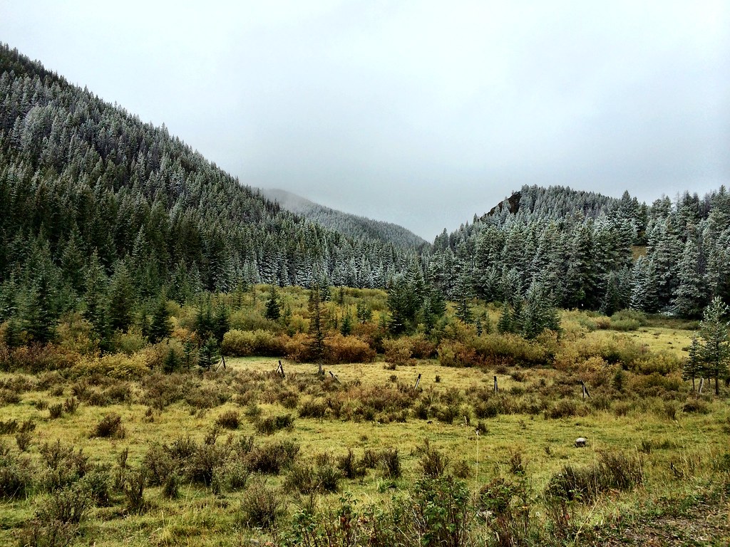 North Fork Beaver-LeavittHiking · ~7 min drivePhoto: Forest Service - Northern Region, CC BY 2.0 (via Flickr)
 Beaver-Mortimer ConnectorHiking · ~14 min drivePhoto: Sam Beebe, CC BY 2.0 (via Flickr)
- Fairview CreekHiking · ~1 min drive
 North Fork Ford CreekHiking · ~12 min drivePhoto: Forest Service - Northern Region, Public Domain Mark (via Flickr)
- Benchmark Corral SpurHiking · ~7 min drive
- Lange CreekHiking · ~3 min drive
- WOOD CREEK SNOTELHiking · ~7 min drive
- Kencks CabinHiking · ~7 min drive
- Benchmark CreekHiking · ~5 min drive
Map and trail data © OpenStreetMap contributors
