Lange Creek
- 21.5 mi
- round trip
- 2,166 ft
- climb
- 7,444 ft
- high point
- Out and back
- route
Is Lange Creek open right now?
Alert in the area
The Forest Service lists an alert for Rocky Mountain Ranger District.
Camp Creek Fire Trail Closure
Agency alert covering Rocky Mountain Ranger District · Order 01-10- · USFS · Rocky Mountain Ranger District
As of · Source: USFS · Rocky Mountain Ranger District. Agencies don't list every closure — check before you go.
Lange Creek is a hard hike of about 21.5 miles in the Bob Marshall Wilderness, part of the Rocky Mountain Ranger District of the Helena-Lewis and Clark National Forest in Montana. The Forest Service manages the land, and the trail is a natural-surface out-and-back that climbs from about 4,869 feet to about 7,444 feet. The route is rated hard, and it is not accessible. Horses are allowed, but bikes are not. The trail lies entirely within designated wilderness, so plan for a backcountry trip. Several other routes start close by, including the Lange Creek Trail (243) about 1.9 miles away and North Fork Beaver-Leavitt at about 2.2 miles. For an overnight base, South Fork Campground is about 4.3 miles off, and Kenck Cabin is about 4.4 miles away.
Local outfitters
- Choteau Mountain View RV Campground36 mi away
Not on Roamze yet. Their page has how to reach them.
- Lange Creek Trail (243)Hiking1.9 mi
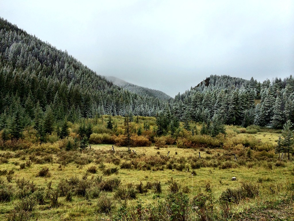 North Fork Beaver-LeavittHikingPhoto: Forest Service - Northern Region, CC BY 2.0 (via Flickr)2.2 mi
- Fairview CreekHiking2.3 mi
- South Fork CgCamping4.3 mi
- Kenck CabinCamping4.4 mi
- Vanderiet Memorial Pilots CgCamping4.5 mi
 Sun RiverCanoeingPhoto: Qfl247 (Transferred by Citypeek/Original uploaded by Qfl247), CC BY-SA 3.0 (via Wikimedia Commons)6 mi
- South Fork Sun RiverCanoeing7.2 mi
Source: Roamze catalog (indexable pages within 10 miles, PostGIS distance)
- North Fork Beaver-LeavittHiking · ~4 min drivePhoto: Forest Service - Northern Region, CC BY 2.0 (via Flickr)
 FAIRVIEW CREEKHiking · ~6 min drivePhoto: Sam Beebe, CC BY 2.0 (via Flickr)
 Beaver-Mortimer ConnectorHiking · ~11 min drivePhoto: Sam Beebe, CC BY 2.0 (via Flickr)
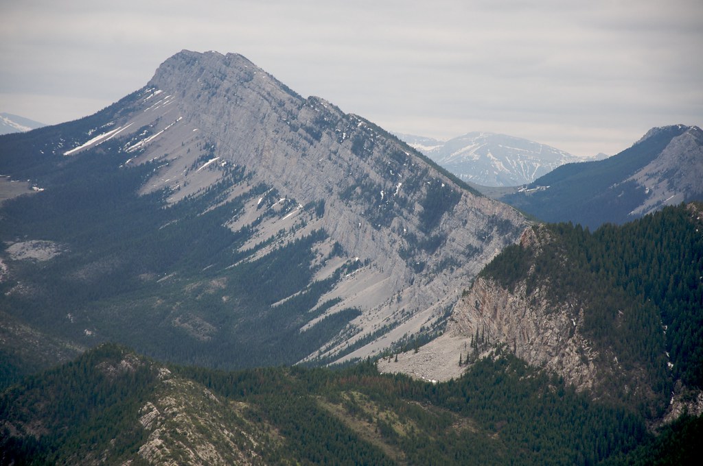 Red Lake StockHiking · ~12 min drivePhoto: Sam Beebe, CC BY 2.0 (via Flickr)
- Fairview CreekHiking · ~4 min drive
- Wagner BasinHiking · ~13 min drivePhoto: Sam Beebe, CC BY 2.0 (via Flickr)
- Deer CreekHiking · ~9 min drive
- Benchmark CreekHiking · ~6 min drive
- Lange Creek Trail (243)Hiking · ~3 min drive
- WOOD CREEK SNOTELHiking · ~10 min drive
