Deer Creek
- 6.7 mi
- round trip
- 1,540 ft
- climb
- 7,357 ft
- high point
- Out and back
- route
Is Deer Creek open right now?
Alert in the area
The Forest Service lists an alert for Rocky Mountain Ranger District.
Camp Creek Fire Trail Closure
Agency alert covering Rocky Mountain Ranger District · Order 01-10- · USFS · Rocky Mountain Ranger District
As of · Source: USFS · Rocky Mountain Ranger District. Agencies don't list every closure — check before you go.
Deer Creek is a moderate out-and-back hike in the Bob Marshall Wilderness, part of the Rocky Mountain Ranger District of Helena-Lewis and Clark National Forest in Montana. The trail stretches about 6.7 miles, with an elevation gain of about 1,540 feet, from a low point of roughly 5,210 feet to a high of about 7,357 feet. The Forest Service manages the land, and the trail is open year-round. It is not accessible, and it is natural-surface, so hikers should plan on walking on dirt and trail rather than pavement. Horses are allowed, but bikes are not. The route is a climb that starts in the low country and reaches the high country. The closest neighbors are the Bighead Creek trail, about a mile away, and Kenck Cabin and the Kencks Cabin trail, both about 1.7 miles off. Paddlers can find the South Fork Sun River about 5 miles away.
Local outfitters
- Choteau Mountain View RV Campground41 mi away
Not on Roamze yet. Their page has how to reach them.
Keep exploring — more trails worth the drive
 Photo: Sam Beebe, CC BY 2.0 (via Flickr)
FAIRVIEW CREEK
~7 min drive
5.38-mile out-and-back trail in Montana with 4,313 ft elevation gain.
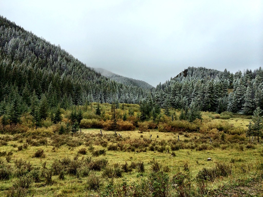 Photo: Forest Service - Northern Region, CC BY 2.0 (via Flickr)
North Fork Beaver-Leavitt
~12 min drive
5.38-mile out-and-back trail in Montana with 1,055 ft gain.
HIKE
South Fork Sun Access
~3 min drive
0.68-mile out-and-back trail with 56 ft elevation gain in Montana.
HIKE
Bighead Creek
~2 min drive
8.77-mile out-and-back trail in Montana with 2,461 ft elevation gain.
HIKE
Patrol Mountain Lookout
~8 min drive
3.66-mile loop trail at Patrol Mountain Lookout in Montana with 2,411 ft gain
HIKE
South Fk Sun TH Connector
~3 min drive
1.46-mile out-and-back trail in Montana with 34 ft of elevation gain.
HIKE
Benchmark Creek
~4 min drive
12.49-mile out-and-back trail in Montana with 2,525 ft elevation gain.
HIKE
WOOD CREEK SNOTEL
~13 min drive
2.16-mile out-and-back trail in Montana with 913 ft elevation gain and loss.
HIKE
Benchmark Corral Spur
~3 min drive
0.64-mile out-and-back trail at Benchmark Corral in Montana with 63 ft of elevation gain.
HIKE
Hoadley Creek
~6 min drive
10.32-mile out-and-back trail in Montana with 1,619 ft elevation gain.
Route details
- Distance
- 6.7 mi round trip
- Climbing
- About 1,540 ft
- Summit
- 7,358 ft
- Difficulty
- Moderate
- Time
- About 3 hours
Season
Season: Year-round.
Questions about this route
How long is the Deer Creek on Deadman Hill?
About 6.7 mi round trip.
How much elevation gain is on the Deer Creek?
About 1,540 ft of climbing round trip.
How hard is the Deer Creek?
It is rated moderate.
How long does the Deer Creek take?
About 3 hours round trip.
When is the best time for the Deer Creek?
Year-round.
Conditions and forecast on Deadman Hill
Daily highs and lows, wind and the chance of precipitation at the summit and route start for the next 7 days, from the Open-Meteo model.
