Fr3108-14
Campground
Campground · 1.2 mi from the trail
Closure in the area
There's a closure order in Bozeman Ranger District. It doesn't name LAKE OF THE PINES, so check the source for the area it covers (17 listed).
Hyalite Canyon South Road Closure Order
Agency closure covering Bozeman Ranger District · Order 01-11-06-27-04 · USFS · Bozeman Ranger District
Sourdough/Bozeman Creek Trailhead and Trail Closure
Agency closure covering Bozeman Ranger District · Order 01-11-06-27-02 · USFS · Bozeman Ranger District
NFSR #1700 South Plateau Road Closure
Agency closure covering Custer Gallatin National Forest · USFS · Custer Gallatin National Forest
Storm Castle Creek Trail #185 Temporarily Closed Due to Storm Damage
Agency closure covering Bozeman Ranger District · Order 01-11-06-26-07 · USFS · Bozeman Ranger District
Hyalite Porcupine Buffalo Horn Summer Interim Travel Order and Map and Order # 01-11-00-26-02
Agency closure covering Custer Gallatin National Forest · Order 01-11-00-26-02 · USFS · Custer Gallatin National Forest
As of · Source: USFS · Bozeman Ranger District. Agencies don't list every closure — check before you go.
Lake of the Pines is an easy, out-and-back hike in Montana's Custer Gallatin National Forest, on the Bozeman Ranger District. The trail starts and ends at the high point of 6,843 feet, with the low point at 6,369 feet, and the total climb is 786 feet, making it a back-loaded route with the steepest stretch at about half a mile in. Summer is the most comfortable time to go. Typical averages from a nearby weather station at Big Sky show July highs around 78°F with lows near 41°F, while winter highs stay in the 20s and 30s. The hike takes about 1.5 hours. Swan Creek Trail, a mountain biking route, lies about half a mile away, and Orchid Gulch Trail is about a mile off. Swan Creek campground is about 2 miles away, and the Gallatin River offers paddling roughly 5 miles from the trail.
Fr3108-14
Campground
Caliber Cafe and Spirits
Restaurant
Places © OpenStreetMap contributors, Places © Overture Maps Foundation
More in EmigrantNot on Roamze yet. Their page has how to reach them.
 Gallatin RiverCanoeingPhoto: Jim from Lexington, KY, USA, CC BY-SA 2.0 (via Wikimedia Commons)5.4 mi
Source: Roamze catalog (indexable pages within 10 miles, PostGIS distance)
 Pioneer Lakes TrailHiking · ~8 min drivePhoto: Forest Service - Northern Region, Public Domain Mark (via Flickr)GARNET MOUNTAINHiking · ~8 min drivePhoto: Forest Service - Northern Region, Public Domain Mark (via Flickr)
 Indian RidgeHiking · ~14 min drivePhoto: Forest Service - Northern Region, Public Domain Mark (via Flickr)
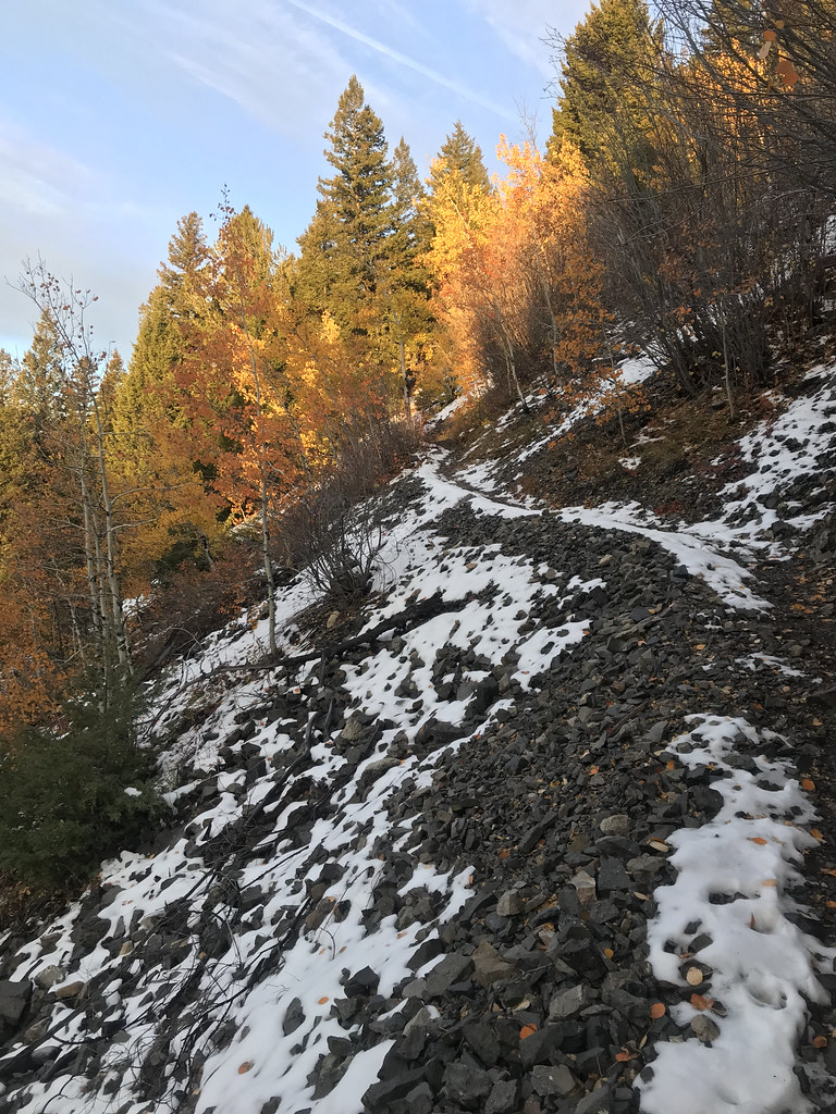 Storm Castle MtnHiking · ~11 min drivePhoto: Forest Service - Northern Region, Public Domain Mark (via Flickr)
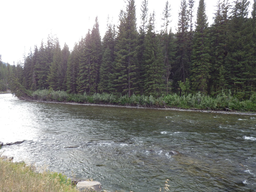 Upper Deer CreekHiking · ~13 min drivePhoto: Matt Lavin, CC BY-SA 2.0 (via Flickr)Deer CreekHiking · ~12 min drivePhoto: Matt Lavin, CC BY-SA 2.0 (via Flickr)
 Hyalite Creek TrailHiking · ~14 min drivePhoto: Matt Lavin from Bozeman, Montana, USA, CC BY-SA 2.0 (via Wikimedia Commons)Sheep RockHiking · ~14 min drivePhoto: Forest Service - Northern Region, Public Domain Mark (via Flickr)
Best months: July–September. Best months have typical highs of 55–85 °F, lows of 30 °F or warmer (32 °F where the station doesn't record snow), at most one snowy day and no more than 12 wet days.
Jan
30° / 9°
13 wet
Feb
34° / 9°
11 wet
Mar
42° / 17°
12 wet
Apr
48° / 23°
11 wet
May
58° / 30°
14 wet
Jun
67° / 36°
14 wet
Jul
78° / 41°
11 wet
Aug
77° / 39°
11 wet
Sep
68° / 33°
10 wet
Oct
53° / 25°
10 wet
Nov
37° / 16°
11 wet
Dec
27° / 9°
14 wet
Typical high / low (°F) and days with rain or snow, 1991–2020. Measured at Big Sky 2wnw, MT, 12.3 mi away at 6,590 ft. This station doesn't record snowfall. Source: NOAA NCEI U.S. Climate Normals 1991–2020.
