Kootenai Lakes
- 2.2 mi
- round trip
- 336 ft
- climb
- 6,261 ft
- high point
- Out and back
- route
Caution at last check
Agency alerts are in effect for this area; weather is marginal · USFS, OpenWeather · checked 14 h ago
Is Kootenai Lakes open right now?
Alert in the area
The Forest Service lists 2 alerts for Bitterroot National Forest.
Pile burning on West Fork Ranger, Darby-Sula & Stevi Nov. 16 to 19
Agency alert covering Bitterroot National Forest · USFS · Bitterroot National Forest
Two Prescribed Burns Planned for the week of Oct. 5 - Piquett Creek & Cameron Gap
Agency alert covering Bitterroot National Forest · USFS · Bitterroot National Forest
As of · Source: USFS · Bitterroot National Forest. Agencies don't list every closure — check before you go.
Kootenai Lakes is an easy out-and-back hike in the Selway-Bitterroot Wilderness, within the Stevensville Ranger District of the Bitterroot National Forest in western Montana. The trail is about 2.2 miles long and rises roughly 336 feet from a low point of 5,920 feet to a high of 6,261 feet. The route starts on natural ground, and its gentle grade and short length make it a straightforward outing for a day in the backcountry. The Forest Service manages the land, and the trail falls entirely within designated wilderness. The surrounding area offers plenty to pair with this hike. Spruce Creek Lake and Storm Creek are both about 4 miles away, and Lappi Lake is about 4.5 miles off. Climbers can find the Identity Wall about 7.6 miles away.
Local outfitters
- Granite Peak RV Resort29 mi away
Not on Roamze yet. Their page has how to reach them.
- SPRUCE CREEK LAKEHiking4.1 mi
- STORM CREEKHiking4.3 mi
- Lappi LakeHiking4.5 mi
- Identity WallRock climbing7.6 mi
- Second ButtressRock climbing7.6 mi
- Outermost LimitsRock climbing7.7 mi
- Charles Waters CampgroundCamping8.5 mi
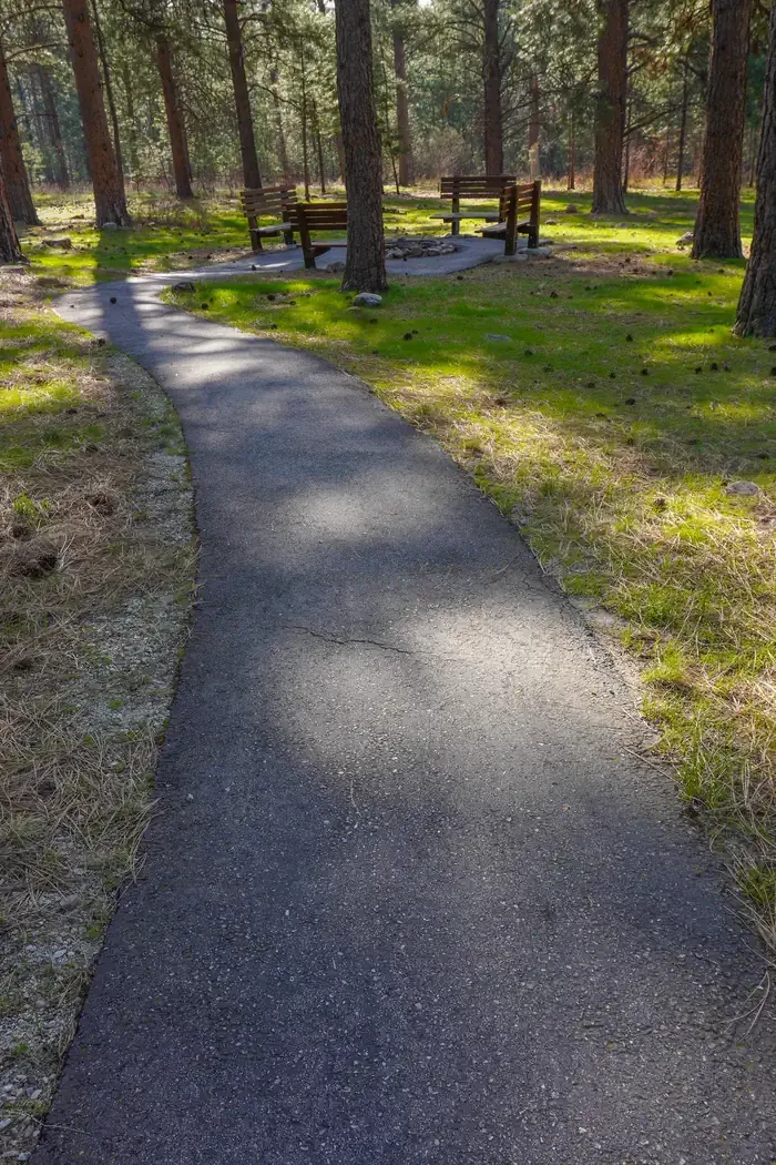 Larry Creek Group CampCampingPhoto: Recreation.gov (RIDB) / public domain9.4 mi
Source: Roamze catalog (indexable pages within 10 miles, PostGIS distance)
- SPRUCE CREEK LAKEHiking · ~7 min drive
- South Fork Big CreekHiking · ~8 min drive
- Big Creek DivideHiking · ~9 min drive
- Ecology TrailHiking · ~15 min drive
- Rudd-Moore LakesHiking · ~10 min drive
- Kootenai CreekHiking · ~9 min drive
- Informal ridge trailHiking · ~13 min drive
- Sweeney ViewpontHiking · ~16 min drive
- BEAVER RIDGEHiking · ~15 min drive
- Bass CreekHiking · ~11 min drive

