Loading…

Free — you'll pick up right here.
Watch this trail
Sign up to watch it — saving subscribes you to gate, closure and report changes.
Montana
2.5 mi
Distance
165 ft
Gain
55 min
Time
An agency closure order is in effect for this area; weather is good
2 factors · 2 sources
Newest 23 h ago · oldest 28 d
problem: Agency alerts
18 active alerts in Custer Gallatin National Forest; most severe: Lava Lake (Lee Metcalf Wilderness) Campfire Restriction
USFS28 d ago
clear: Weather
Rain, high 54°F / low 36°F, 50% precip — 75/100 for hike
OpenWeather23 h ago
Been out here in the last few days? One report keeps this current for everyone.
Why you'll love it
Hellroaring Meadows
AI-suggested draft · review before you go
No permit or access details on file for this trail — check with the local land manager before you go.
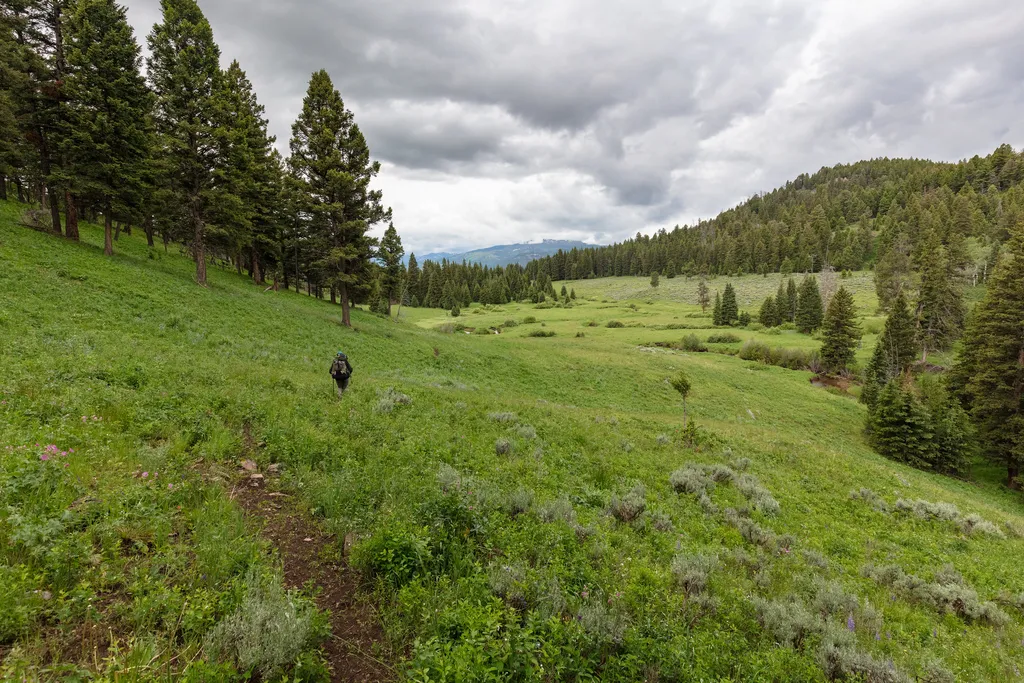
Hellroaring Meadows is a scenic short hike through open meadowland in central Montana, offering gentle terrain and expansive views typical of the region's high country meadows. The modest elevation gain and accessible distance make this an excellent choice for families and those seeking a leisurely walk through wildflower-dotted grasslands. The trail showcases the characteristic rolling terrain and pastoral landscape that define Montana's meadow ecosystems.
Coyote Creek Trailhead (2N1)
~9 min drive
This is a remote trailhead at the northern boundary of the park that is not accessible by road. From this trailhead, you can embark on the following trail within the park: Coyote Creek Trail
Hellroaring
~1 min drive
Remote 19.5-mile backcountry trek through wild Montana high country.
Beaver Creek
~1 min drive
Easy streamside walk through Beaver Creek drainage with minimal elevation gain.
Carpenter Lake
~2 min drive
Easy half-mile lake walk with minimal elevation gain.
Buffalo Plateau Trailhead (2N2)
~10 min drive
This is a remote trailhead at the northern boundary of the park that is not accessible by road. From this trailhead, you can embark on the following trail within the park: Buffalo Plateau Trail
Red Rock Plateau
~3 min drive
Scenic 11.2-mile plateau hike with 2,227 ft gain and striking red rock formations.
Telephone Basin
~9 min drive
Scenic 4.46-mile alpine basin hike with moderate elevation gain and mountain views.
Low Specimen
~5 min drive
Easy 0.46-mile walk near Low Specimen in Montana.
Upper Hellroaring Trailhead (2N5)
~10 min drive
This is a remote trailhead at the northern boundary of the park that is not accessible by road. From this trailhead, you can embark on the following trail within the park: Hellroaring Creek Trail
Brundage Creek
~4 min drive
Moderate 9.31-mile creek-side hike with 938 ft elevation gain.