Blake Creek Summit
- 4.3 mi
- round trip
- 2,072 ft
- climb
- 8,149 ft
- high point
- Out and back
- route
Is Blake Creek Summit open right now?
No closures listed
The Forest Service lists no closures for Helena-Lewis and Clark National Forest.
As of · Source: USFS · Helena-Lewis and Clark National Forest. Agencies don't list every closure — check before you go.
Blake Creek Summit is a 4.3-mile out-and-back hike in the Judith-Musselshell Ranger District of Helena-Lewis and Clark National Forest in central Montana. The trail rises from a low point of about 6,100 feet to a high point of 8,149 feet, with an elevation gain of 2,072 feet. It is a moderate route on natural trail surfaces, and the Forest Service manages the surrounding national forest land. The trail is open year-round. It is not an accessible route, and it allows horses and bikes as well as foot traffic, so it works for a range of visitors. For an overnight stay, Timber Creek Dispersed Campground and Timber Cr Dispersed sit about 1.7 miles away, and West Peak is about 2 miles off. Crystal Lake Cabin is roughly 3.4 miles away.
- Timber Creek Dispersed CampgroundCamping1.7 mi
- Timber Cr DispersedCamping1.7 mi
- Timber CreekHiking1.7 mi
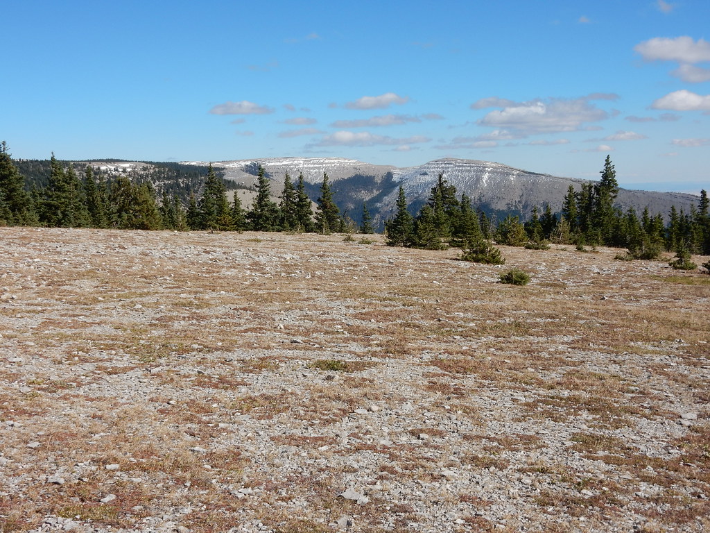 West PeakHikingPhoto: Matt Lavin, CC BY-SA 2.0 (via Flickr)2 mi
 Neil CreekMountain bikingPhoto: Matt Lavin, CC BY-SA 4.0 (via Wikimedia Commons)2 mi
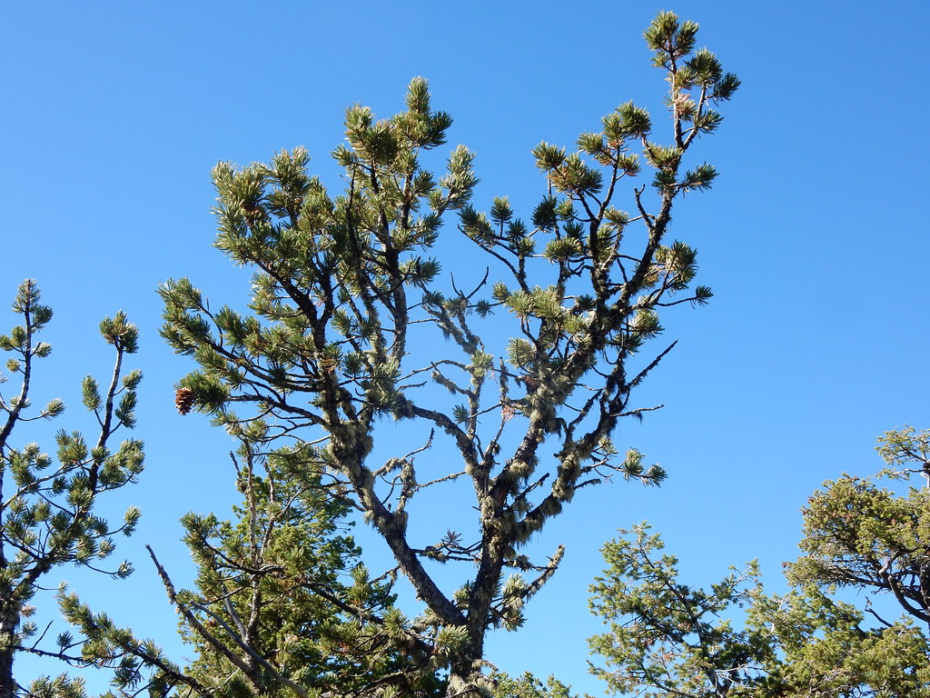 Crystal Cascades ConnectorHikingPhoto: Matt Lavin, CC BY-SA 2.0 (via Flickr)3.3 mi
- Crystal Lake CabinCamping3.4 mi
- Crystal Lake Group CampsiteCamping3.7 mi
Source: Roamze catalog (indexable pages within 10 miles, PostGIS distance)
- West PeakHiking · ~3 min drivePhoto: Matt Lavin, CC BY-SA 2.0 (via Flickr)
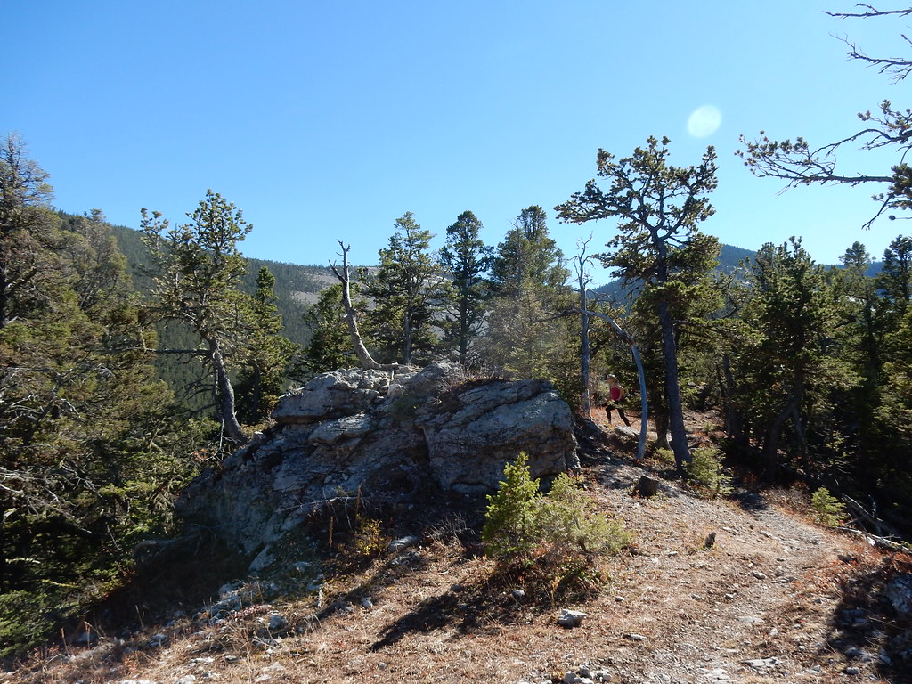 UhlhornHiking · ~6 min drivePhoto: Matt Lavin, CC BY-SA 2.0 (via Flickr)
 Grand ViewHiking · ~7 min drivePhoto: Matt Lavin, CC BY-SA 2.0 (via Flickr)
- Maynard RidgeHiking · ~19 min drive
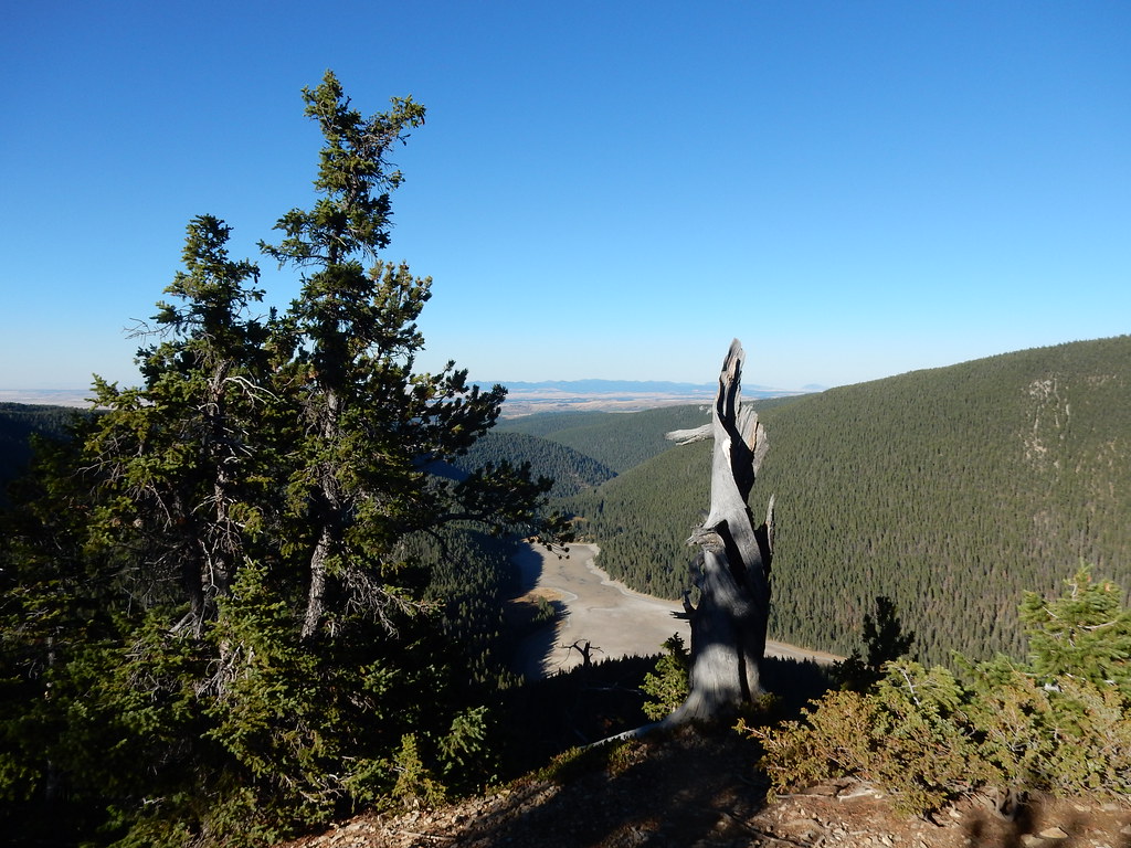 Crystal Lk Stock BypassHiking · ~6 min drivePhoto: Matt Lavin, CC BY-SA 2.0 (via Flickr)
- Neil CreekHiking · ~4 min drive
- Swimming WomanHiking · ~13 min drive
- Crystal Lake LoopHiking · ~6 min drivePhoto: Matt Lavin, CC BY-SA 2.0 (via Flickr)
- Dry Pole CreekHiking · ~9 min drive
- SouthsideHiking · ~14 min drive
