Glacier Slough
- 2.7 mi
- round trip
- 124 ft
- climb
- 4,638 ft
- high point
- Out and back
- route
- Jul–Sep
- best months
Is Glacier Slough open right now?
Alert in the area
The Forest Service lists 6 alerts for Flathead National Forest.
Ashley Lake North Campground Closure
Agency alert covering Flathead National Forest · Order 01-10- · USFS · Flathead National Forest
Camp Creek Fire Updated Trail Closure
Agency alert covering Flathead National Forest · Order 01-10- · USFS · Flathead National Forest
FK&L Area Closed to Public Access Starting July 22, 2026
Agency alert covering Flathead National Forest · Order 01-10- · USFS · Flathead National Forest
Trail 800 Tally-Ashely Closure
Agency alert covering Flathead National Forest · Order 01-10- · USFS · Flathead National Forest
Ryan Creek Occupancy and Use Order
Agency alert covering Flathead National Forest · Order 1-10- · USFS · Flathead National Forest
As of · Source: USFS · Flathead National Forest. Agencies don't list every closure — check before you go.
Glacier Slough is a 2.7-mile out-and-back hike in the Swan Lake Ranger District of Flathead National Forest in northwest Montana, managed by the Forest Service. The trail is rated moderate, with a one-way climb of about 124 feet from a low point of roughly 4,507 feet to a high of about 4,638 feet. Summer is the most comfortable time to go. Typical averages from the nearby Lindbergh Lake weather station show July and August highs around 78°F with lows near 50°F and only about seven wet days a month. Winter is cold and snowy, with highs in the low 30s and snow on 14 to 17 days a month from December through February. The trail is on natural surface, and both horses and bikes are allowed. Lindbergh Lake Campground sits about 0.7 miles away, and the Swan River, a canoeing route, is about 1.1 miles off. Glacier Creek, another paddling option, is about 2.3 miles away, and Pine Ridge campground is about 3.2 miles away.
Local outfitters
- Granite Peak RV Resort37 mi away
Not on Roamze yet. Their page has how to reach them.
- Lindbergh Lake CampgroundCamping0.7 mi
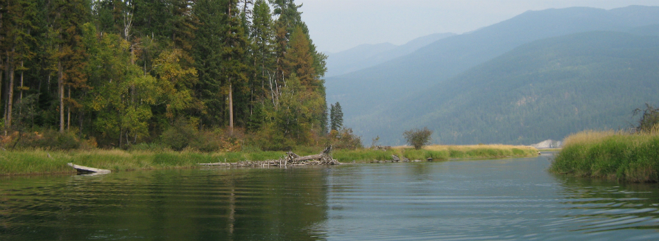 Swan RiverCanoeingPhoto: USFWS, Public domain (via Wikimedia Commons)1.1 mi
- Glacier CreekCanoeing2.3 mi
- Pine RidgeCamping3.2 mi
- Hemlock LakeHiking3.6 mi
- Barber Creek Gravel Pit - Road 10563Camping3.6 mi
- Hemlock PointHiking4.2 mi
- Glacier Lake FeederHiking4.7 mi
Source: Roamze catalog (indexable pages within 10 miles, PostGIS distance)
 East FoothillHiking · ~13 min drivePhoto: lumachrome, CC BY-SA 2.0 (via Flickr)
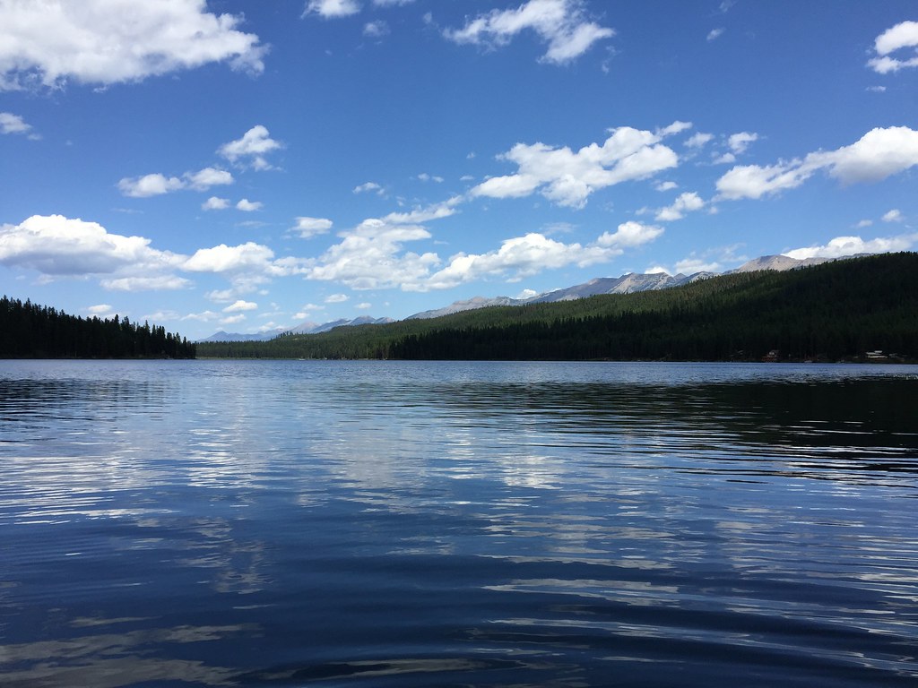 LAKE INEZ HOOKUPHiking · ~20 min drivePhoto: lumachrome, CC BY-SA 2.0 (via Flickr)
- E. Holland Lake Connect.Hiking · ~11 min drivePhoto: lumachrome, CC BY-SA 2.0 (via Flickr)
- COLT CREEKHiking · ~18 min drive
- Holland LookoutHiking · ~13 min drivePhoto: lumachrome, CC BY-SA 2.0 (via Flickr)
- Glacier Lake FeederHiking · ~8 min drive
- Hemlock LakeHiking · ~6 min drive
- Moon LakeHiking · ~21 min drive
- Crystal LakeHiking · ~10 min drive
- Hemlock FeederHiking · ~8 min drive
Best time to visit Glacier Slough
Best months: July–September. Best months have typical highs of 55–85 °F, lows of 30 °F or warmer (32 °F where the station doesn't record snow), at most one snowy day and no more than 12 wet days.
Jan
31° / 16°
19 wet · 17 snow
Feb
34° / 17°
16 wet · 14 snow
Mar
42° / 23°
16 wet · 11 snow
Apr
50° / 30°
14 wet · 6 snow
May
60° / 38°
14 wet · 1 snow
Jun
68° / 45°
13 wet
Jul
78° / 50°
7 wet
Aug
78° / 49°
7 wet
Sep
67° / 41°
9 wet
Oct
51° / 32°
12 wet · 3 snow
Nov
38° / 24°
16 wet · 10 snow
Dec
29° / 16°
19 wet · 16 snow
Typical high / low (°F) and days with rain or snow, 1991–2020. Measured at Lindbergh Lake, MT, 1 mi away at 4,320 ft. Source: NOAA NCEI U.S. Climate Normals 1991–2020.
