Fourmile Cr
- 2.5 mi
- round trip
- 274 ft
- climb
- 6,252 ft
- high point
- Out and back
- route
- Jun–Sep
- best months
Is Fourmile Cr open right now?
No closures listed
The Forest Service lists no closures for Helena-Lewis and Clark National Forest.
As of · Source: USFS · Helena-Lewis and Clark National Forest. Agencies don't list every closure — check before you go.
Fourmile Cr is an easy out-and-back hike of about 2.5 miles in the Belt Creek-White Sulphur Springs Ranger District of the Helena-Lewis and Clark National Forest in Montana. The Forest Service manages the land, and the trail is rated easy with a one-way climb of about 274 feet, from a low point of about 6,027 feet to a high of about 6,252 feet. The trail is natural-surfaced and allows both horses and bikes. It is not an accessible trail. Summer is the most comfortable time to go. Typical averages from a nearby weather station show July and August highs around 77°F with lows in the low 40s, while winter highs stay near freezing. Richardson Campground is about a mile away and Grasshopper Campground about 1.8 miles. The Grasshopper and Elk Peak Trail hikes are both within about 3 miles.
Best time to go · Jun–Sep
Best time to visit Fourmile Cr
Best months: June–September. Best months have typical highs of 55–85 °F, lows of 30 °F or warmer (32 °F where the station doesn't record snow), at most one snowy day and no more than 12 wet days.
Jan
31° / 13°
10 wet
Feb
32° / 12°
9 wet
Mar
40° / 18°
11 wet
Apr
48° / 24°
12 wet
May
58° / 32°
13 wet
Jun
66° / 39°
12 wet
Jul
77° / 43°
9 wet
Aug
77° / 41°
8 wet
Sep
66° / 34°
7 wet
Oct
52° / 27°
9 wet
Nov
38° / 19°
9 wet
Dec
30° / 13°
10 wet
Typical high / low (°F) and days with rain or snow, 1991–2020. Measured at Lennep 5 Sw, MT, 12.8 mi away at 5,600 ft. The station sits about 700 ft lower than this place, so expect it a little cooler here. This station doesn't record snowfall. Source: NOAA NCEI U.S. Climate Normals 1991–2020.
Keep exploring — more trails worth the drive
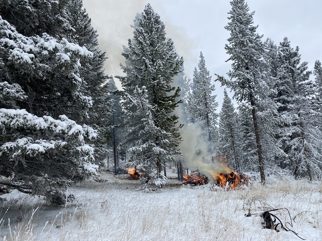 Photo: Forest Service - Northern Region, Public Domain Mark (via Flickr)
Upper Smith Connector Trail
~37 min drive
2.32-mile out-and-back trail in Montana with 828 ft elevation gain.
HIKE
Grasshopper
~5 min drive
6.31-mile out-and-back trail in Montana with 732 ft elevation gain.
HIKE
Woodchuck
~6 min drive
4.37-mile out-and-back trail in Montana with 636 ft elevation gain.
HIKE
Bonanza Spur
~8 min drive
0.74-mile out-and-back trail in Montana with 50 ft of elevation gain.
HIKE
Elk Peak Trail
~5 min drive
5.94-mile out-and-back hike in Montana with 1,515 ft elevation gain
HIKE
E Fk Checkerboard
~6 min drive
2.23-mile out-and-back trail in Montana with 47 ft gain and 604 ft loss.
HIKE
Whetstone Spur
~17 min drive
Whetstone Spur is a 1.36-mile out-and-back trail in Montana with 88 feet of elevation gain.
HIKE
Alabough-Castle Lake
~12 min drive
4-mile out-and-back trail in Montana with 435 ft gain.
HIKE
Castle Elk Connector
~11 min drive
4.3-mile out-and-back trail in Montana with 1,774 ft elevation gain.
HIKE
Eike Spur
~25 min drive
1.12-mile out-and-back trail in Montana with 105 ft gain.
