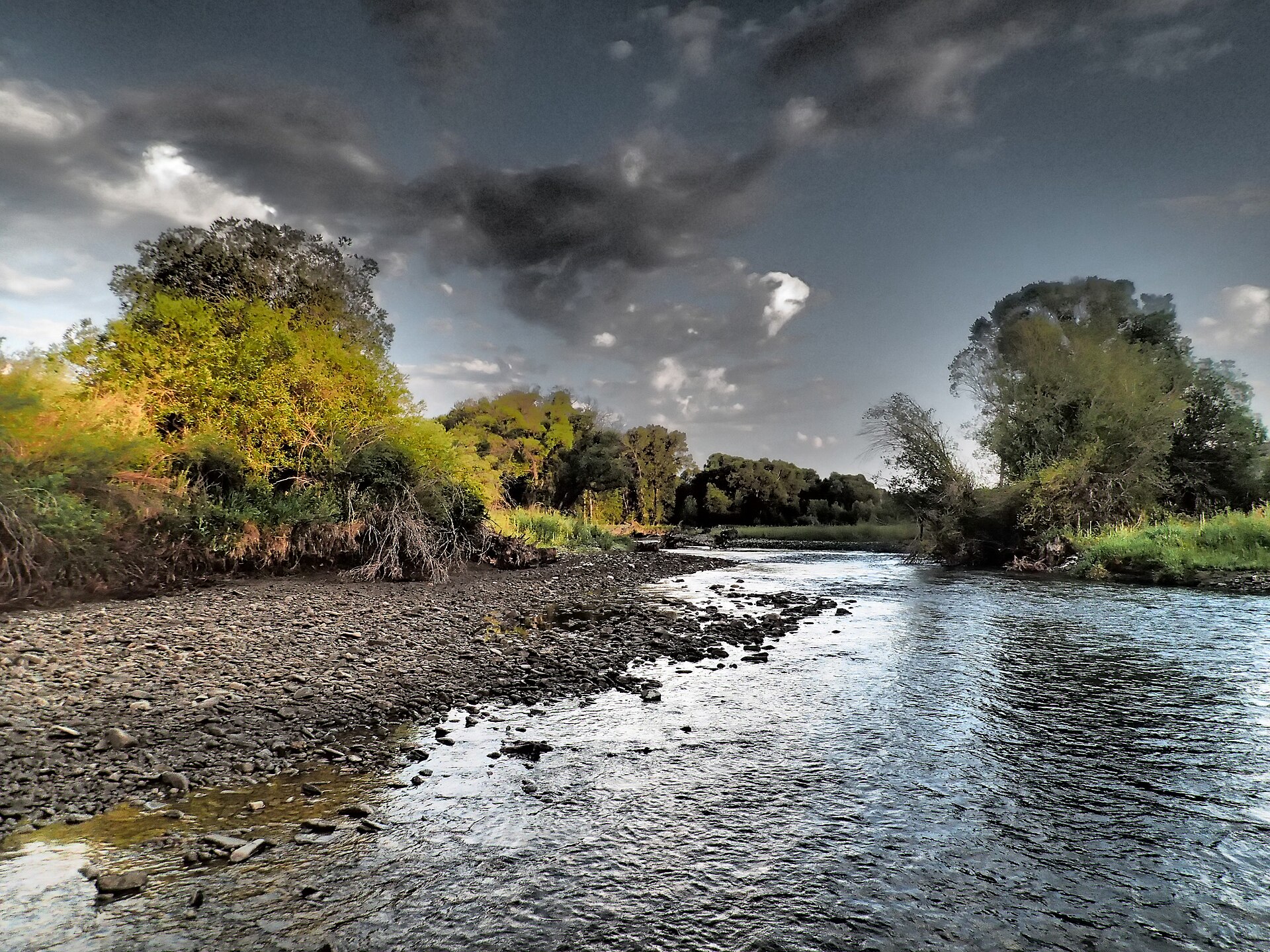
Eagle Creek
- 9.0 mi
- round trip
- 1,350 ft
- climb
- 8,396 ft
- high point
- Out and back
- route
Is Eagle Creek open right now?
No closures listed
The Forest Service lists no closures for Helena-Lewis and Clark National Forest.
As of · Source: USFS · Helena-Lewis and Clark National Forest. Agencies don't list every closure — check before you go.
Eagle Creek is a 9-mile out-and-back hike in the Belt Creek-White Sulphur Springs Ranger District of the Helena-Lewis and Clark National Forest in Montana. The trail rises from about 6,600 feet to a high point of 8,396 feet, with a total elevation gain of 1,350 feet. It is a moderate route, and the Forest Service manages the land. The trail is natural-surfaced and allows both horses and bikes. It is not an accessible trail. The trip is open year-round, so it works for a visit in any season. Several other destinations sit close by. Middle Eagle Road and Upper Eagle Road, both mountain biking routes, are each about a mile away. The Upper Lodgepole Trail is about 1.1 miles off, and Forest Lake Campground is about 2 miles away.
Local outfitters
- Yellowstone Safari Company46 mi away
Not on Roamze yet. Their page has how to reach them.
- Middle Eagle RoadMountain biking1 mi
- Upper Eagle RoadMountain biking1 mi
- Upper Lodgepole TrailHiking1.1 mi
- West Lodgepole TrailMountain biking1.4 mi
- Forest Lake CgCamping2 mi
- Crandall Creek CabinCamping3.3 mi
- Shields RiverCamping3.4 mi
- Porcupine CabinCamping7.3 mi
Source: Roamze catalog (indexable pages within 10 miles, PostGIS distance)
 Lower Smith Connector TrailHiking · ~5 min drivePhoto: Forest Service - Northern Region, Public Domain Mark (via Flickr)
 Bitter Creek TrailHiking · ~6 min drivePhoto: Forest Service - Northern Region, Public Domain Mark (via Flickr)
- West Lodgepole TrailHiking · ~2 min drive
- Upper Scab Rock TrailHiking · ~6 min drivePhoto: Forest Service - Northern Region, Public Domain Mark (via Flickr)
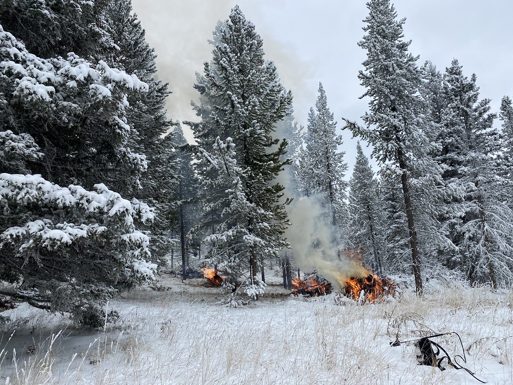 Bitter Honey TrailHiking · ~7 min drivePhoto: Forest Service - Northern Region, Public Domain Mark (via Flickr)
- Honey RunHiking · ~6 min drive
- Lower Scab Rock TrailHiking · ~7 min drivePhoto: Forest Service - Northern Region, Public Domain Mark (via Flickr)
 Lodgepole CreekHiking · ~10 min drivePhoto: Forest Service - Northern Region, Public Domain Mark (via Flickr)
- Crow CreekHiking · ~7 min drive
- Upper Smith Connector TrailHiking · ~7 min drivePhoto: Forest Service - Northern Region, Public Domain Mark (via Flickr)