Demijohn Creek
- 2.5 mi
- round trip
- 2,349 ft
- climb
- 8,766 ft
- high point
- Out and back
- route
Is DEMIJOHN CREEK open right now?
Closure in the area
There's a closure order in Beaverhead-Deerlodge National Forest. It doesn't name DEMIJOHN CREEK, so check the source for the area it covers (2 listed).
Annual Food Storage Order
Agency closure covering Beaverhead-Deerlodge National Forest · Order 02-00-22-02 · USFS · Beaverhead-Deerlodge National Forest
Pallet Prohibition Order Butte Ranger District
Agency closure covering Beaverhead-Deerlodge National Forest · Order 01020425-01 · USFS · Beaverhead-Deerlodge National Forest
Lost Creek Area - Road Closure
Agency alert covering Beaverhead-Deerlodge National Forest · USFS · Beaverhead-Deerlodge National Forest
Montana BDR Alternative Route
Agency alert covering Beaverhead-Deerlodge National Forest · USFS · Beaverhead-Deerlodge National Forest
Lost Creek Area - Road Closure
Agency alert covering Beaverhead-Deerlodge National Forest · Order 01020826-02 · USFS · Beaverhead-Deerlodge National Forest
As of · Source: USFS · Beaverhead-Deerlodge National Forest. Agencies don't list every closure — check before you go.
Demijohn Creek is a moderate out-and-back hike of about 5 miles on the Forest Service land of the Wisdom Ranger District, part of the Beaverhead-Deerlodge National Forest in southwest Montana. The route starts at a high point of 8,766 feet and descends to 7,083 feet before climbing back to the top, with a total elevation gain of 2,349 feet for the round trip. That makes the climb a steep one, and the steepest stretch comes at about 1.9 miles, where the grade reaches 36 percent. The hike is rated moderate and takes about three hours. Plan on time to cover the long route and the climb. The Forest Service manages the land, and the trail is within the Wisdom Ranger District. Nearby, Copper Creek and Sand Creek are both about 2.6 miles away. Steel Creek Campground is about 5.6 miles off for an overnight stay, and Lodgepole Campground sits roughly 9.4 miles away.
Local outfitters
- Copper Court RV Park36 mi away
Not on Roamze yet. Their page has how to reach them.
- COPPER CREEKHiking2.2 mi
- SAND CREEKHiking2.6 mi
- DOOLITTLE CREEKHiking2.6 mi
- STONE CREEKHiking3.6 mi
- Steel Creek CampgroundCamping5.6 mi
- Lodgepole CampgroundCamping9.4 mi
- Willow CampgroundCamping9.4 mi
- Wise River Ranger DistrictRiver fishing10 mi
Source: Roamze catalog (indexable pages within 10 miles, PostGIS distance)
 SHEEP CREEKHiking · ~19 min drivePhoto: TexasExplorer98, CC BY 2.0 (via Flickr)
- CLIFFORD CREEKHiking · ~20 min drivePhoto: TexasExplorer98, CC BY 2.0 (via Flickr)
 Brownes LakeHiking · ~22 min drivePhoto: TexasExplorer98, CC BY 2.0 (via Flickr)
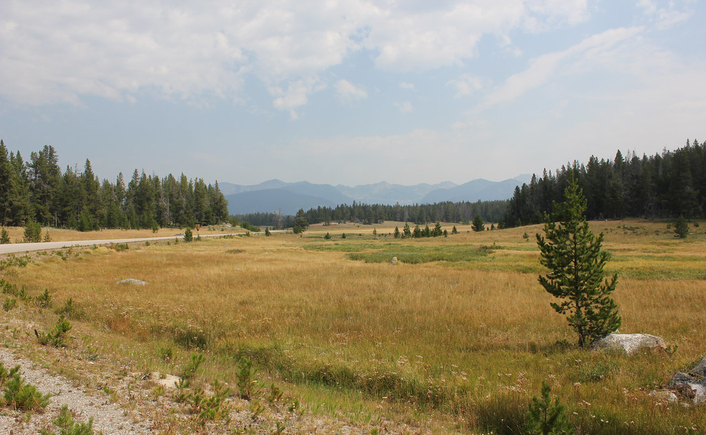 HARRISON PARK TRAILHiking · ~24 min drivePhoto: TexasExplorer98, CC BY 2.0 (via Flickr)
- COPPER CREEKHiking · ~4 min drive
- SAND CREEKHiking · ~4 min drive
- BOBCAT LAKESHiking · ~11 min drive
- DOOLITTLE CREEKHiking · ~4 min drive
- ODELL-STEEL CREEKHiking · ~10 min drive
- LILY LAKE CUT-OFFHiking · ~8 min drive
