Big Creek / Rivers Creek
- 19.7 mi
- round trip
- 5,575 ft
- climb
- 5,434 ft
- high point
- Out and back
- route
- Jul–Sep
- best months
Caution at last check
Weather is marginal · OpenWeather · checked 14 h ago
Big Creek / Rivers Creek is a long, steep out-and-back hike in Montana, starting and ending at about 3,126 feet and climbing to 5,434 feet. The route is about 39 miles long, with a total gain and loss of about 5,575 feet, and it is rated expert. The nearest town is Haugan, about half a mile away. Summer is the most comfortable time to go. Typical averages from a nearby weather station at Mullan Pass show July and August highs around 70°F with only about six wet days a month, while winter highs stay in the upper 20s. The trip takes about 16 hours. The Savenac Arboretum East and North hikes are each about 0.6 miles away, and Storm Peak is about 1.1 miles off. Deer Creek Campground, about 1.9 miles away, is the closest place to camp.
Local outfitters
- CDA River RV46 mi away
Not on Roamze yet. Their page has how to reach them.
- Savenac Arboretum EastHiking0.6 mi
- Savenac Arboretum NorthHiking0.6 mi
- Storm PeakHiking1.1 mi
- Deer Creek CampgroundCamping1.9 mi
- DEBORGIA / TWELVEMILE CREEKHiking3.4 mi
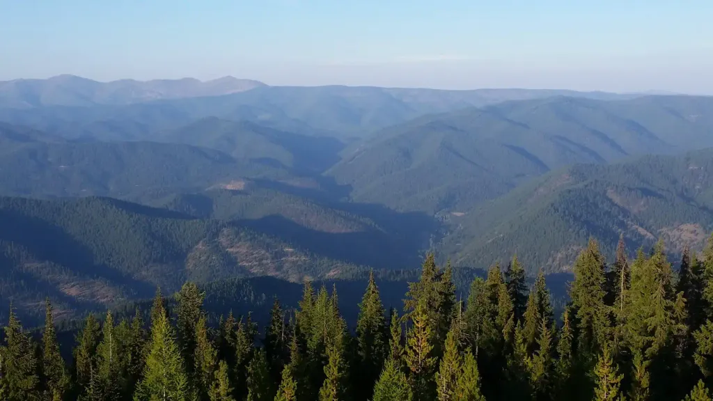 Up Up LookoutCampingPhoto: Recreation.gov (RIDB) / public domain3.9 mi
- Cabin City CgCamping6 mi
- Twelvemile CreekCanoeing6.7 mi
Source: Roamze catalog (indexable pages within 10 miles, PostGIS distance)
 Crystal LakeHiking · ~10 min drivePhoto: Forest Service - Northern Region, Public Domain Mark (via Flickr)
- Savenac Arboretum EastHiking · Next door
- DEBORGIA / TWELVEMILE CREEKHiking · ~6 min drive
- Up Up CreekHiking · ~8 min drive
- WEST FORK LOOPHiking · ~12 min drive
- Savenac Arboretum NorthHiking · ~1 min drive
- UP-UP / DEER CREEKHiking · ~8 min drive
- MEADOW MTN LOOPHiking · ~8 min drive
- PACKER CREEKHiking · ~12 min drive
- Storm PeakHiking · ~2 min drive
Best time to visit BIG CREEK / RIVERS CREEK
Best months: July–September. Best months have typical highs of 55–85 °F, lows of 30 °F or warmer (32 °F where the station doesn't record snow), at most one snowy day and no more than 12 wet days.
Jan
28° / 19°
19 wet
Feb
28° / 19°
17 wet
Mar
34° / 22°
19 wet
Apr
40° / 27°
17 wet
May
50° / 36°
15 wet
Jun
58° / 42°
13 wet
Jul
70° / 52°
6 wet
Aug
69° / 51°
6 wet
Sep
59° / 44°
8 wet
Oct
44° / 32°
13 wet
Nov
32° / 23°
17 wet
Dec
27° / 18°
18 wet
Typical high / low (°F) and days with rain or snow, 1991–2020. Measured at Mullan Pass Vor/Dme, ID, 13.1 mi away at 6,028 ft. The station sits about 600 ft higher than this place, so expect it a little warmer here. This station doesn't record snowfall. Source: NOAA NCEI U.S. Climate Normals 1991–2020.
