Conner Creek
- 10.2 mi
- round trip
- 2,196 ft
- climb
- 6,660 ft
- high point
- Out and back
- route
Is Conner Creek open right now?
Alert in the area
The Forest Service lists 5 alerts for Flathead National Forest.
Camp Creek Fire Updated Trail Closure
Agency alert covering Flathead National Forest · Order 01-10- · USFS · Flathead National Forest
FK&L Area Closed to Public Access Starting July 22, 2026
Agency alert covering Flathead National Forest · Order 01-10- · USFS · Flathead National Forest
Trail 800 Tally-Ashely Closure
Agency alert covering Flathead National Forest · Order 01-10- · USFS · Flathead National Forest
Ryan Creek Occupancy and Use Order
Agency alert covering Flathead National Forest · Order 1-10- · USFS · Flathead National Forest
Logan Creek Hoke Creek Closure
Agency alert covering Flathead National Forest · Order 01-10- · USFS · Flathead National Forest
As of · Source: USFS · Flathead National Forest. Agencies don't list every closure — check before you go.
Conner Creek is a hard hike in the Spotted Bear Ranger District of Montana's Flathead National Forest, about 10 miles long with a total elevation gain of about 2,200 feet. The trail is an out-and-back, starting at a low point of about 4,467 feet and climbing to a high point of about 6,660 feet. The Forest Service manages the land, and the trail is open year-round. The route is natural-surface and allows both horses and bikes. It is not an accessible trail. For a longer outing, the Conner Creek Connection lies about 2.6 miles away, and Soldier Creek and Crevice Lake are each within about 6 miles. Peter's Creek Campground, about 7 miles off, offers a place to camp.
Local outfitters
- Rocky Mountain Outfitter34 mi away
- North American RV Park & Yurt Village37 mi away
Not on Roamze yet. Their page has how to reach them.
Keep exploring — more trails worth the drive
 Photo: Forest Service - Northern Region, Public Domain Mark (via Flickr)
Soldier Creek
~9 min drive
12.69-mile out-and-back trail in Montana with 1,128 ft gain.
 Photo: Thank You (25 Millions ) views, CC BY 2.0 (via Flickr)
Hall Lake Trail
~11 min drive
9.66-mile out-and-back hike to Hall Lake in Montana with 1,870 ft gain.
HIKE
Conner Creek Connection
~5 min drive
1.00-mile out-and-back trail in Montana with 54 ft elevation gain.
HIKE
Wire Trail
~12 min drive
12.9-mile out-and-back trail in Montana with 6,636 ft elevation gain/loss
Photo: Forest Service - Northern Region, Public Domain Mark (via Flickr)Lower Twin
~12 min drive
17.24-mile out-and-back trail in Montana with 2,172 ft elevation gain.
Photo: Forest Service - Northern Region, Public Domain Mark (via Flickr)Crossover Mtn.
~12 min drive
3.92-mile out-and-back trail in Montana with 1,641 ft of elevation gain.
HIKE
Crevice Lake
~10 min drive
1.81-mile out-and-back trail to Crevice Lake in Montana with 277 ft of elevation gain.
HIKE
Good Trail
~10 min drive
11.66-mile out-and-back trail in Montana with 3,014 ft elevation gain.
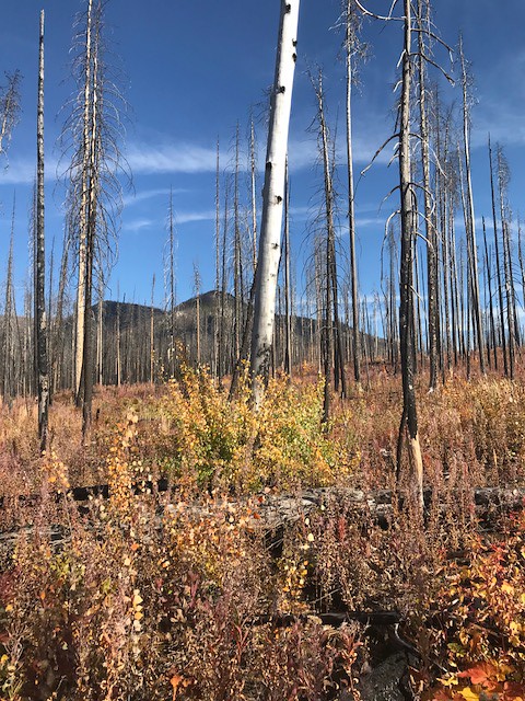 Photo: Forest Service - Northern Region, Public Domain Mark (via Flickr)
Webb Lake
~18 min drive
3.34-mile out-and-back trail to Webb Lake in Montana
HIKE
Hall Lake Feeder
~10 min drive
0.31-mile out-and-back trail at Hall Lake Feeder in Montana
