Canal Trail
- 4.4 mi
- round trip
- 621 ft
- climb
- 4,434 ft
- high point
- Out and back
- route
- May–Sep
- best months
Canal Trail is a 4.4-mile moderate hike in Montana, about 15 miles from the town of Wetzel. The route is an out-and-back that covers roughly 8.8 miles round trip, with a total climb of about 621 feet and a total descent of the same. The trail runs mostly flat, with the steepest stretch at about 3.9 miles in, where the grade reaches about 3%. Summer is the most comfortable time to go. Typical averages from a nearby weather station at Del Bonita show July and August highs around 76°F with lows in the upper 40s, while winter highs stay near freezing. Paddlers can pair the hike with time on the water. The North Fork Milk River is about 2.8 miles away, and the Middle Fork Milk River is about 8.9 miles away.
Local outfitters
- Sunset RV Park44 mi away
Not on Roamze yet. Their page has how to reach them.
Source: Roamze catalog (indexable pages within 10 miles, PostGIS distance)
 Beaver Pond TrailHiking · ~36 min drivePhoto: GlacierNPS, Public Domain Mark (via Flickr)
- Red EagleHiking · ~36 min drivePhoto: GlacierNPS, Public Domain Mark (via Flickr)
 Sherburne CutoffHiking · ~38 min drivePhoto: Pablo F. J., CC BY 2.0 (via Flickr)
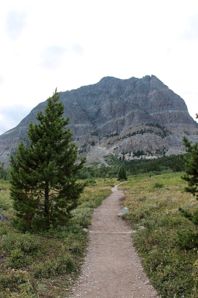 Apikuni Falls TrailHiking · ~43 min drivePhoto: daveynin, CC BY 2.0 (via Flickr)
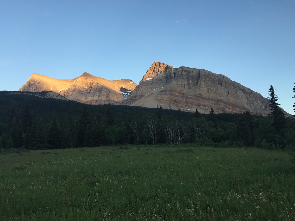 Gable Pass TrailHiking · ~44 min drivePhoto: yancy9, CC BY 2.0 (via Flickr)
- St Mary Corral CutoffHiking · ~36 min drivePhoto: GlacierNPS, Public Domain Mark (via Flickr)
 North Fork Belly River TrailHiking · ~42 min drivePhoto: cm195902, CC BY 2.0 (via Flickr)
 Divide CreekHiking · ~39 min drivePhoto: Tony Webster, CC BY 2.0 (via Flickr)
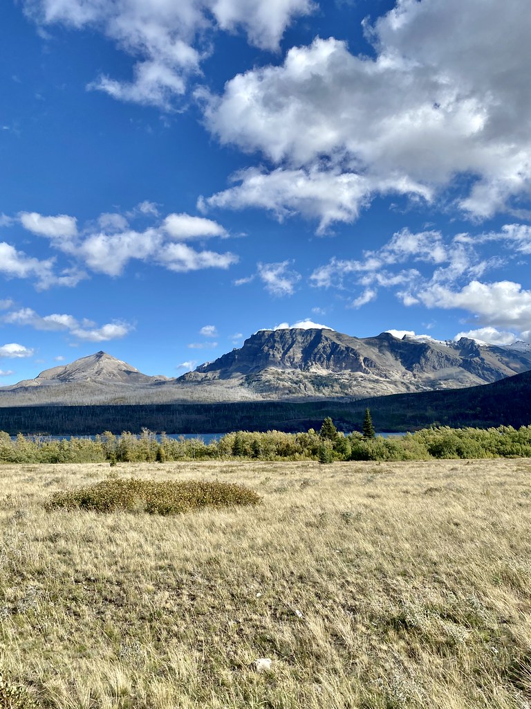 Rising SunHiking · ~44 min drivePhoto: w_lemay, CC BY-SA 2.0 (via Flickr)
 Grinnell Glacier TrailHiking · ~47 min drivePhoto: Fredlyfish4, CC BY-SA 4.0 (via Wikimedia Commons)
Also worth it near here
- Horse LakeLake fishing · ~29 min drive
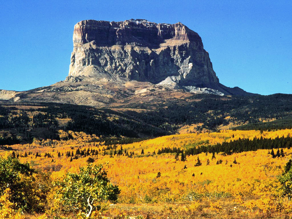 Chief MountainSummit · ~36 min drivePhoto: Public domain (via Wikimedia Commons)
 Apikuni FallsWaterfall · ~43 min drivePhoto: KimonBerlin, CC BY-SA 2.0 (via Wikimedia Commons)
 Cut Bank CreekCanoeing · ~43 min drivePhoto: Royalbroil, CC BY-SA 3.0 (via Wikimedia Commons)
Best time to visit Canal Trail
Best months: May–September. Best months have typical highs of 55–85 °F, lows of 30 °F or warmer (32 °F where the station doesn't record snow), at most one snowy day and no more than 12 wet days.
Jan
29° / 11°
4 wet
Feb
31° / 13°
4 wet
Mar
39° / 19°
5 wet
Apr
50° / 27°
6 wet
May
61° / 36°
7 wet
Jun
67° / 44°
8 wet
Jul
76° / 49°
7 wet
Aug
76° / 47°
6 wet
Sep
67° / 40°
5 wet
Oct
52° / 30°
4 wet
Nov
37° / 20°
5 wet
Dec
30° / 12°
5 wet
Typical high / low (°F) and days with rain or snow, 1991–2020. Measured at Del Bonita, MT, 16.5 mi away at 4,337 ft. This station doesn't record snowfall. Source: NOAA NCEI U.S. Climate Normals 1991–2020.
Map and trail data © OpenStreetMap contributors
