Foot Trail
- 1.0 mi
- round trip
- 104 ft
- climb
- 3,150 ft
- high point
- Out and back
- route
- Apr–Jun, Sep–Oct
- best months
Is Foot Trail open right now?
Closure in the area
There's a closure order in Bighorn Canyon National Recreation Area. It doesn't name Foot Trail, so check the source for the area it covers.
No Water Available at Ok-A-Beh Marina - Flushing Restrooms Closed
Park closure covering Bighorn Canyon National Recreation Area · NPS · Bighorn Canyon National Recreation Area
As of · Source: NPS · Bighorn Canyon National Recreation Area. Agencies don't list every closure — check before you go.
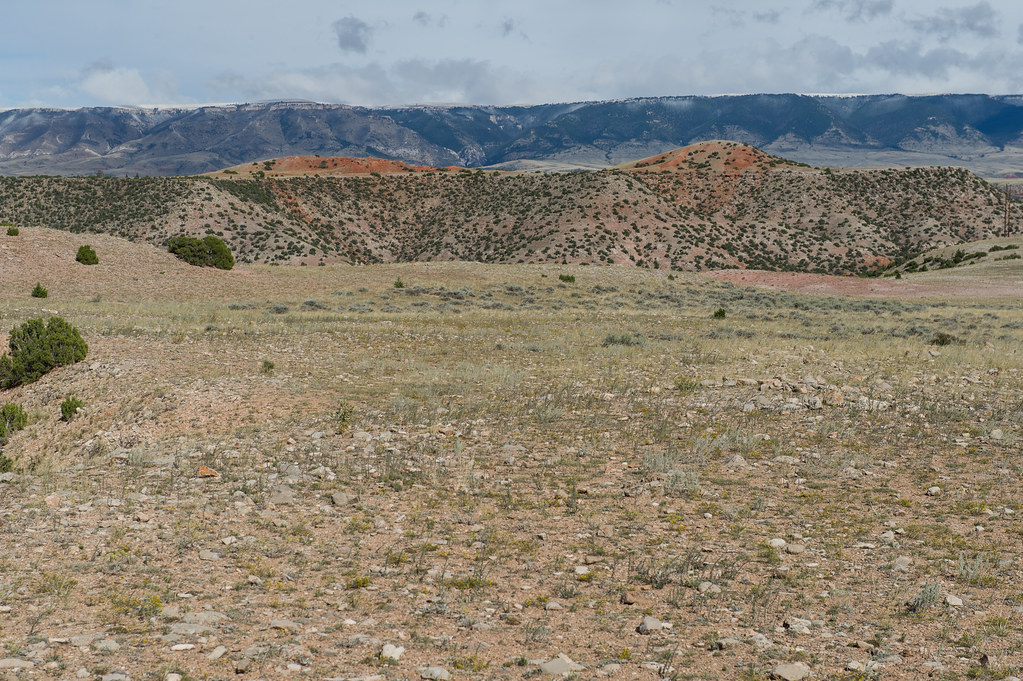
Foot Trail is a short, easy out-and-back hike in Bighorn Canyon National Recreation Area in Montana, managed by the National Park Service. The trail is about 1.9 miles long, with a total elevation gain of 104 feet, and it starts and ends at roughly 3,127 feet, reaching a high point of about 3,150 feet. The climb is flat, with the steepest stretch at about 0.11 miles in, where the grade reaches about 2 percent. The most comfortable months for a visit are typically late spring and early fall. Typical averages from the nearby Yellowtail Dam weather station show May highs around 68°F and September highs around 76°F, while July averages climb to about 89°F. The Three Mile Access Trail lies just 0.1 mile away, and the Beaver Pond Nature Trail is about 3.2 miles off. The Bighorn Head Gate Trail is about 4 miles away, and the Bighorn River, a paddling route, is about 4.7 miles away.
- Three Mile Access TrailHiking0.1 mi
 Beaver Pond Nature TrailHikingPhoto: Matt Lavin, CC BY-SA 2.0 (via Flickr)3.2 mi
- Bighorn Head Gate TrailHikingPhoto: Matt Lavin, CC BY-SA 2.0 (via Flickr)4 mi
- Bighorn RiverCanoeing4.7 mi
Source: Roamze catalog (indexable pages within 10 miles, PostGIS distance)
- Beaver Pond Nature TrailHiking · ~5 min drivePhoto: Matt Lavin, CC BY-SA 2.0 (via Flickr)
 Lower Layout CreekHiking · ~44 min drivePhoto: Greg_Hanson, CC BY 2.0 (via Flickr)
- nullHiking · ~41 min drive
- Boyd RidgeHiking · ~48 min drive
- Dry Fork RidgeHiking · ~49 min drive
- Bighorn Head Gate TrailHiking · ~7 min drivePhoto: Matt Lavin, CC BY-SA 2.0 (via Flickr)
 Deep Ravine TrailHiking · ~46 min drivePhoto: jtstewart, CC BY-SA 2.0 (via Flickr)
- South PastureHiking · ~41 min drive
- MillerHiking · ~54 min drive
- Lodge GrassHiking · ~50 min drive
Best time to visit Foot Trail
Best months: April–June and September–October. Best months have typical highs of 55–85 °F, lows of 30 °F or warmer (32 °F where the station doesn't record snow), at most one snowy day and no more than 12 wet days.
Jan
38° / 20°
5 wet · 3 snow
Feb
40° / 21°
4 wet · 2 snow
Mar
50° / 28°
6 wet · 2 snow
Apr
58° / 36°
7 wet · 1 snow
May
68° / 44°
8 wet
Jun
78° / 53°
7 wet
Jul
89° / 59°
5 wet
Aug
87° / 57°
4 wet
Sep
76° / 49°
5 wet
Oct
61° / 38°
6 wet · 1 snow
Nov
48° / 28°
4 wet · 1 snow
Dec
39° / 21°
4 wet · 2 snow
Typical high / low (°F) and days with rain or snow, 1991–2020. Measured at Yellowtail Dam, MT, 3.7 mi away at 3,305 ft. Source: NOAA NCEI U.S. Climate Normals 1991–2020.

Map and trail data © OpenStreetMap contributors
