Bangtail Divide
- 14.9 mi
- round trip
- 854 ft
- climb
- 7,802 ft
- high point
- Out and back
- route
Is Bangtail Divide open right now?
Closure in the area
There's a closure order in Bozeman Ranger District. It doesn't name Bangtail Divide, so check the source for the area it covers (17 listed).
Hyalite Canyon South Road Closure Order
Agency closure covering Bozeman Ranger District · Order 01-11-06-27-04 · USFS · Bozeman Ranger District
Sourdough/Bozeman Creek Trailhead and Trail Closure
Agency closure covering Bozeman Ranger District · Order 01-11-06-27-02 · USFS · Bozeman Ranger District
NFSR #1700 South Plateau Road Closure
Agency closure covering Custer Gallatin National Forest · USFS · Custer Gallatin National Forest
Storm Castle Creek Trail #185 Temporarily Closed Due to Storm Damage
Agency closure covering Bozeman Ranger District · Order 01-11-06-26-07 · USFS · Bozeman Ranger District
Hyalite Porcupine Buffalo Horn Summer Interim Travel Order and Map and Order # 01-11-00-26-02
Agency closure covering Custer Gallatin National Forest · Order 01-11-00-26-02 · USFS · Custer Gallatin National Forest
As of · Source: USFS · Bozeman Ranger District. Agencies don't list every closure — check before you go.
Bangtail Divide is a hard hike on the natural-surfaced trail in the Bozeman Ranger District of Custer Gallatin National Forest in Montana. The Forest Service manages the land, and the trail is about 15 miles long, rising from roughly 5,676 feet to about 7,802 feet. The climb is about 850 feet one way. The trail allows horses and bikes, so it works for riders as well as hikers. That makes it a flexible option for a day spent on foot or on a bike. Several other destinations sit close by. The Bangtail Divide Trail, a mountain biking route, and the Bishop Park Connector Trail and Bishop Park Trail are all within about 3.5 miles. Climbers can head to Wolverine Bowl, about 6.5 miles away.
Local outfitters
- Yellowstone Safari Company10 mi away
Not on Roamze yet. Their page has how to reach them.
- Bangtail Divide TrailMountain biking3.5 mi
- Bishop Park Connector TrailHiking3.5 mi
- Bishop Park TrailHiking3.6 mi
- Lower ReplicaRock climbing6.5 mi
- Wolverine BowlRock climbing6.5 mi
- Battle Ridge CabinCamping7.9 mi
- Battle RidgeCamping8.3 mi
 East Gallatin RiverCanoeingPhoto: Mike Cline, Public domain (via Wikimedia Commons)9.4 mi
Source: Roamze catalog (indexable pages within 10 miles, PostGIS distance)
 Raptor View NorthHiking · ~8 min drivePhoto: Matt Lavin, CC BY-SA 2.0 (via Wikimedia Commons)
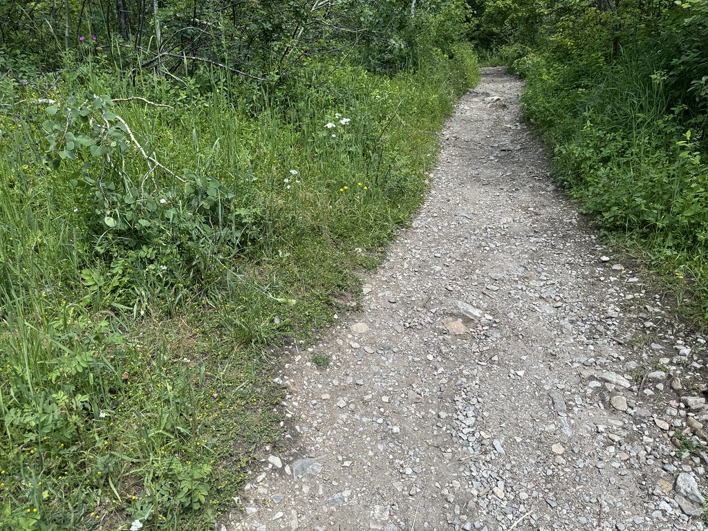 Middle Cottonwood TrailHiking · ~10 min drivePhoto: Matt Lavin, CC BY-SA 2.0 (via Flickr)
 Fairy Creek TrailHiking · ~14 min drivePhoto: Forest Service - Northern Region, Public Domain Mark (via Flickr)
 Chestnut MountainHiking · ~16 min drivePhoto: Matt Lavin, CC BY-SA 2.0 (via Flickr)
 Meadow Loop (North)Hiking · ~8 min drivePhoto: Matt Lavin, CC BY-SA 2.0 (via Flickr)
 Sypes CanyonHiking · ~11 min drivePhoto: Carly Lesser & Art Drauglis from Washington, DC, CC BY-SA 2.0 (via Wikimedia Commons)
- Bangtail Divide TrailHiking · ~7 min drive
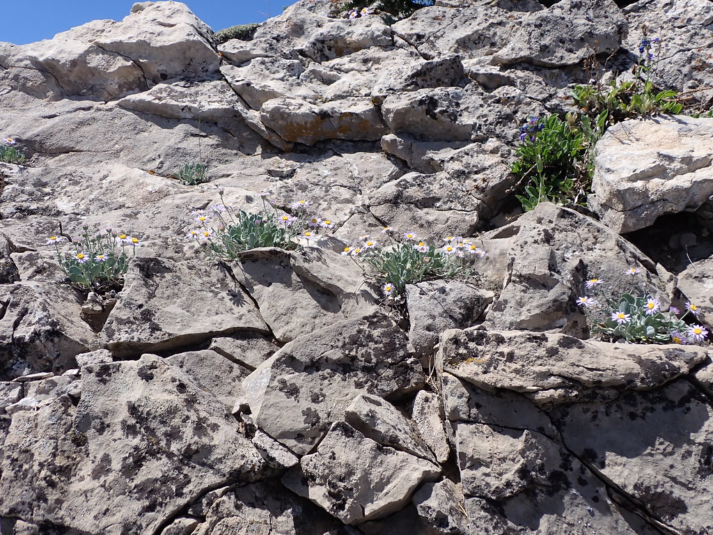 East Bridger SouthHiking · ~6 min drivePhoto: Matt Lavin, CC BY-SA 2.0 (via Flickr)
 College M ShortcutHiking · ~12 min drivePhoto: Matt Lavin, CC BY-SA 2.0 (via Flickr)
 East Bridger NorthHiking · ~10 min drivePhoto: Matt Lavin, CC BY-SA 2.0 (via Flickr)
