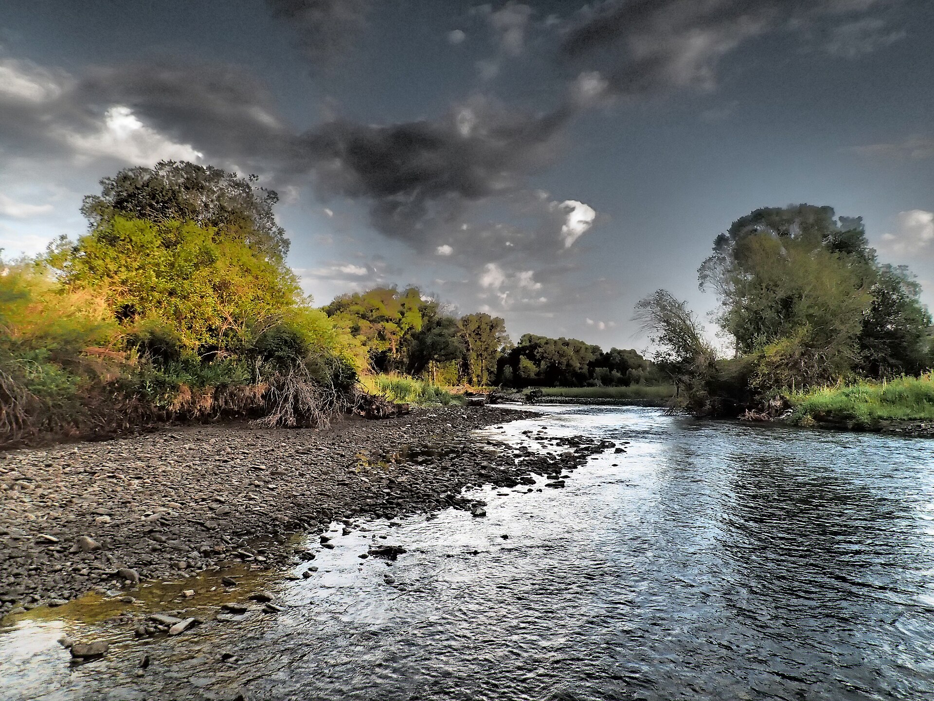
Bald Ridge Driveway
- 10.5 mi
- round trip
- 1,842 ft
- climb
- 8,362 ft
- high point
- Out and back
- route
Caution today
Agency alerts are in effect for this area; weather is marginal · USFS, OpenWeather · checked 10 h ago
Is Bald Ridge Driveway open right now?
No closures listed
The Forest Service lists no closures for Helena-Lewis and Clark National Forest.
As of · Source: USFS · Helena-Lewis and Clark National Forest. Agencies don't list every closure — check before you go.
Bald Ridge Driveway is a hard hike in the Belt Creek-White Sulphur Springs Ranger District of Helena-Lewis and Clark National Forest in Montana. It is a 10.5-mile out-and-back route that rises from about 6,518 feet to about 8,362 feet, a gain of roughly 1,842 feet. The Forest Service manages the land, and the trail is open year-round from January 31 to December 31. It carries horses and bikes, and its natural surface makes it unsuitable for accessible travel. The climb is a long one, and the route is rated hard. For supplies, Forest Lake Campground sits about 3.7 miles away. Mt. Elmo and Spring Creek South are both within about 2.6 miles, and the paddling on Cottonwood Creek is about 7 miles off.
Local outfitters
- Yellowstone Safari Company49 mi away
Not on Roamze yet. Their page has how to reach them.
- FS 646Mountain biking2 mi
- Mt. ElmoHiking2.4 mi
- Spring Creek SouthHiking2.6 mi
- Forest Lake CgCamping3.7 mi
- Cottonwood CreekCanoeing7.1 mi
- Crandall Creek CabinCamping8.1 mi
- Shields RiverCamping8.1 mi
- South Fork Musselshell RiverCanoeing9.7 mi
Source: Roamze catalog (indexable pages within 10 miles, PostGIS distance)
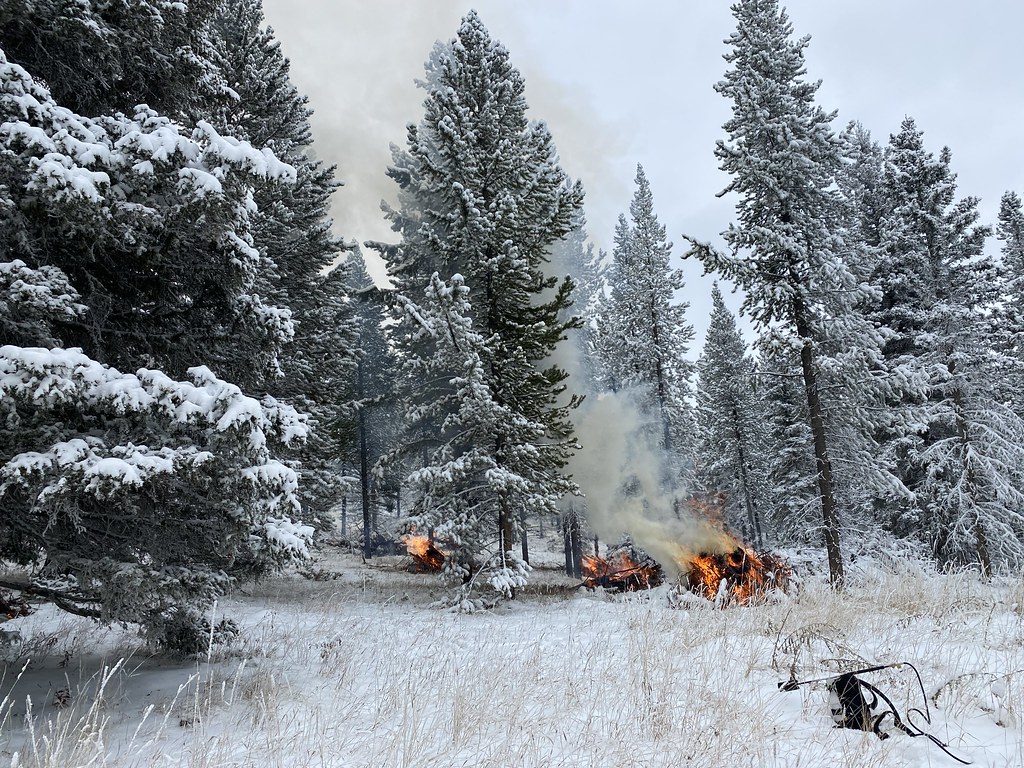 Upper Smith Connector TrailHiking · ~8 min drivePhoto: Forest Service - Northern Region, Public Domain Mark (via Flickr)
 Bitter Creek TrailHiking · ~9 min drivePhoto: Forest Service - Northern Region, Public Domain Mark (via Flickr)
- Honey RunHiking · ~5 min drive
- Upper Scab Rock TrailHiking · ~9 min drivePhoto: Forest Service - Northern Region, Public Domain Mark (via Flickr)
- Bitter Honey TrailHiking · ~9 min drivePhoto: Forest Service - Northern Region, Public Domain Mark (via Flickr)
- Bozeman ForkHiking · ~8 min drive
 Lower Smith Connector TrailHiking · ~10 min drivePhoto: Forest Service - Northern Region, Public Domain Mark (via Flickr)
 Lodgepole CreekHiking · ~17 min drivePhoto: Forest Service - Northern Region, Public Domain Mark (via Flickr)
- West Lodgepole TrailHiking · ~11 min drive
- Lower Scab Rock TrailHiking · ~10 min drivePhoto: Forest Service - Northern Region, Public Domain Mark (via Flickr)