Bacon Rind
- 9.6 mi
- round trip
- 1,527 ft
- climb
- 9,589 ft
- high point
- Out and back
- route
Is Bacon Rind open right now?
Closure in the area
There's a closure order in Custer Gallatin National Forest. It doesn't name Bacon Rind, so check the source for the area it covers (16 listed).
NFSR #1700 South Plateau Road Closure
Agency closure covering Custer Gallatin National Forest · USFS · Custer Gallatin National Forest
Lonesomewood Prescribed Fire Area, Road, and Trail Closure
Agency closure covering Hebgen Lake Ranger District · Order 01-11-07-26-03 · USFS · Hebgen Lake Ranger District
South Plateau Road #1700 Opening Delayed
Agency closure covering Hebgen Lake Ranger District · USFS · Hebgen Lake Ranger District
Hyalite Porcupine Buffalo Horn Summer Interim Travel Order and Map and Order # 01-11-00-26-02
Agency closure covering Custer Gallatin National Forest · Order 01-11-00-26-02 · USFS · Custer Gallatin National Forest
Hyalite Porcupine Buffalo Horn Winter Interim Travel Order and Map Order Number: #01-11-00-26-01
Agency closure covering Custer Gallatin National Forest · USFS · Custer Gallatin National Forest
As of · Source: USFS · Custer Gallatin National Forest. Agencies don't list every closure — check before you go.
Bacon Rind is a hard hike in Montana's Lee Metcalf Wilderness, part of the Hebgen Lake Ranger District of Custer Gallatin National Forest. The trail is an out-and-back that climbs from about 7,300 feet to nearly 9,600 feet, with a total elevation gain of 1,527 feet over a route of about 9.6 miles. The Forest Service manages the land, and the trail is open year-round. The trail is natural-surface and allows horses, but bikes are not permitted. That makes it a route for hikers on foot or on horseback, with no room for wheels. Several other trails sit close by. Bacon Rind Creek Trail is about 1.8 miles away, and Fawn Pass Trail and the Fawn Pass Spur/Bacon Rind TH Trail are each about 2.1 miles off. Cabin Creek Cabin, about 6 miles away, offers a place to stay.
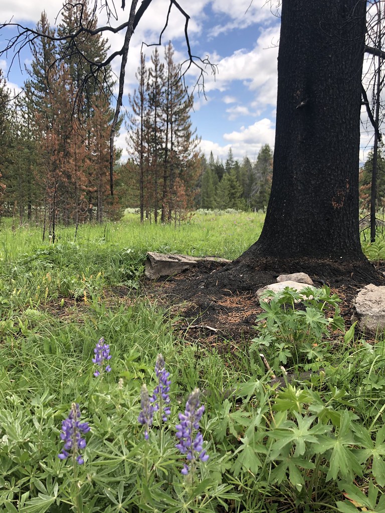 Bacon Rind Creek TrailHikingPhoto: Forest Service - Northern Region, Public Domain Mark (via Flickr)1.8 mi
- Fawn Pass Spur/Bacon Rind TH TrailHikingPhoto: Forest Service - Northern Region, Public Domain Mark (via Flickr)2.1 mi
 Fawn Pass TrailHikingPhoto: hesyifei, CC BY-SA 2.0 (via Flickr)2.1 mi
- SkylineHiking4.6 mi
- Lower TepeeHiking4.8 mi
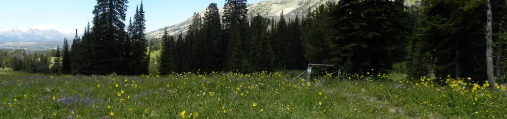 Cabin Creek CabinCampingPhoto: Recreation.gov (RIDB) / public domain6.1 mi
- Grayling CreekCanoeing6.8 mi
- Big Sky GritRock climbing9.6 mi
Source: Roamze catalog (indexable pages within 10 miles, PostGIS distance)
- Bacon Rind Trailhead (WK4)Hiking · ~3 min drive
- Bacon Rind Creek TrailHiking · ~3 min drivePhoto: Forest Service - Northern Region, Public Domain Mark (via Flickr)
- Fawn Pass TrailHiking · ~4 min drivePhoto: hesyifei, CC BY-SA 2.0 (via Flickr)
 Specimen Creek TrailHiking · ~9 min drivePhoto: isydia Vibes, Public Domain Mark (via Flickr)
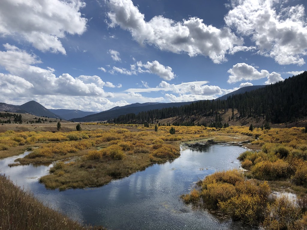 Teepee CreekHiking · ~17 min drivePhoto: Forest Service - Northern Region, Public Domain Mark (via Flickr)
- Fawn Pass Trailhead (WK5)Hiking · ~4 min drive
- Fawn Pass Spur/Bacon Rind TH TrailHiking · ~4 min drivePhoto: Forest Service - Northern Region, Public Domain Mark (via Flickr)
- Black Butte TrailHiking · ~14 min drive
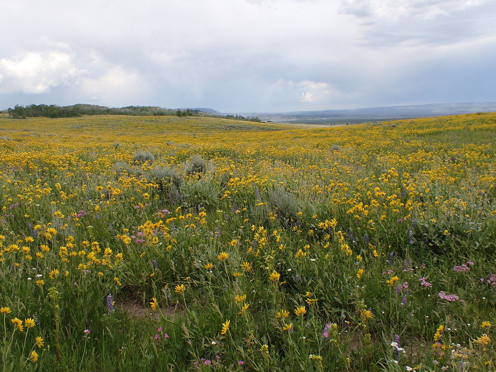 Gneiss Creek TrailHiking · ~17 min drivePhoto: Matt Lavin, CC BY-SA 2.0 (via Flickr)
- Fan Creek TrailHiking · ~9 min drive

