Alpine 7
- 16.3 mi
- round trip
- 1,096 ft
- climb
- 7,727 ft
- high point
- Out and back
- route
Is Alpine 7 open right now?
Alert in the area
The Forest Service lists 5 alerts for Flathead National Forest.
Camp Creek Fire Updated Trail Closure
Agency alert covering Flathead National Forest · Order 01-10- · USFS · Flathead National Forest
FK&L Area Closed to Public Access Starting July 22, 2026
Agency alert covering Flathead National Forest · Order 01-10- · USFS · Flathead National Forest
Trail 800 Tally-Ashely Closure
Agency alert covering Flathead National Forest · Order 01-10- · USFS · Flathead National Forest
Ryan Creek Occupancy and Use Order
Agency alert covering Flathead National Forest · Order 1-10- · USFS · Flathead National Forest
Logan Creek Hoke Creek Closure
Agency alert covering Flathead National Forest · Order 01-10- · USFS · Flathead National Forest
As of · Source: USFS · Flathead National Forest. Agencies don't list every closure — check before you go.
Alpine 7 is a hard hike of about 16.3 miles on the natural surface in the Spotted Bear Ranger District of Flathead National Forest in Montana. The trail is an out-and-back route that gains about 1,100 feet, climbing from roughly 6,690 feet to about 7,727 feet. The trip is open year-round, and the Forest Service manages the surrounding land. For a hard route like this, plan on a full day and go prepared for the terrain. Several other hikes sit close by. South Lost Creek is about 1.2 miles away and Crevice Lake about 1.8 miles. Cilly Ridge and Bunker Creek are within about 3 miles. For an overnight, Spotted Bear Campground is about 8.4 miles from the trail.
Local outfitters
- Rocky Mountain Outfitter38 mi away
- North American RV Park & Yurt Village44 mi away
Not on Roamze yet. Their page has how to reach them.
Keep exploring — more trails worth the drive
 Photo: Thank You (25 Millions ) views, CC BY 2.0 (via Flickr)
Hall Lake Trail
~16 min drive
9.66-mile out-and-back hike to Hall Lake in Montana with 1,870 ft gain.
 Photo: Forest Service - Northern Region, Public Domain Mark (via Flickr)
Soldier Creek
~18 min drive
12.69-mile out-and-back trail in Montana with 1,128 ft gain.
HIKE
Crevice Lake
~3 min drive
1.81-mile out-and-back trail to Crevice Lake in Montana with 277 ft of elevation gain.
HIKE
Wire Trail
~12 min drive
12.9-mile out-and-back trail in Montana with 6,636 ft elevation gain/loss
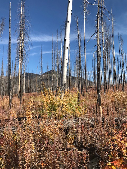 Photo: Forest Service - Northern Region, Public Domain Mark (via Flickr)
Webb Lake
~22 min drive
3.34-mile out-and-back trail to Webb Lake in Montana
Photo: Forest Service - Northern Region, Public Domain Mark (via Flickr)Lower Twin
~20 min drive
17.24-mile out-and-back trail in Montana with 2,172 ft elevation gain.
HIKE
Cilly Ridge
~5 min drive
1.99-mile out-and-back trail on a ridge in Montana with 514 ft gain.
Photo: Forest Service - Northern Region, Public Domain Mark (via Flickr)Crossover Mtn.
~21 min drive
3.92-mile out-and-back trail in Montana with 1,641 ft of elevation gain.
HIKE
South Lost Creek
~2 min drive
11.49-mile out-and-back trail in Montana with 2,201 ft elevation gain.
HIKE
Conner Creek Connection
~10 min drive
1.00-mile out-and-back trail in Montana with 54 ft elevation gain.
