Loading trail…

Free — you'll pick up right here.
Save this plan
Sign up to save your own editable copy — you'll pick up right here.
Montana
0.7 mi
Distance
258 ft
Gain
18 min
Time
No conditions check on file for this trail yet — always verify current conditions before you go.
Why you'll love it
2B1 Campsite Spur Trail
AI-suggested draft · review before you go
No permit or access details on file for this trail — check with the local land manager before you go.
This short out-and-back spur trail in Montana provides quick access to the 2B1 Campsite, making it an ideal choice for campers and day hikers seeking a brief walk through the backcountry. The gentle terrain and minimal distance make it perfect for families or those looking to stretch their legs without committing to a longer hike.
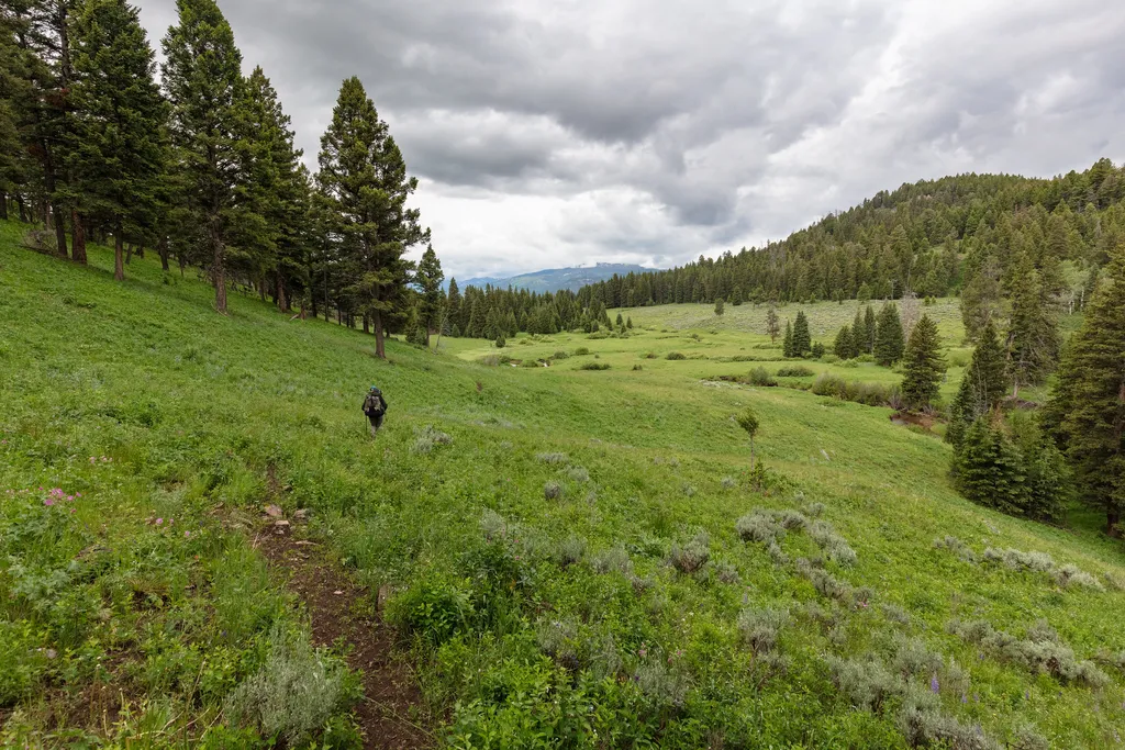
Coyote Creek Trailhead (2N1)
~3 min drive
This is a remote trailhead at the northern boundary of the park that is not accessible by road. From this trailhead, you can embark on the following trail within the park: Coyote Creek Trail
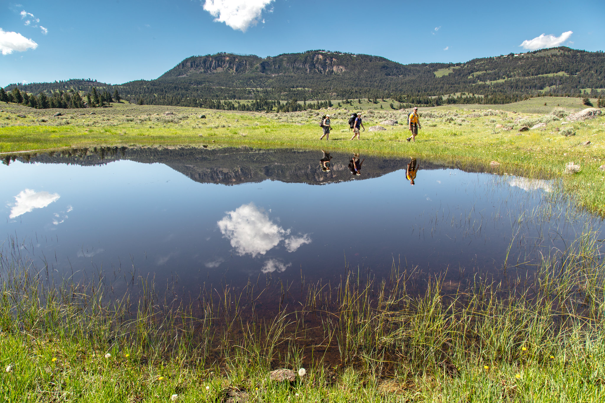
Hellroaring Trailhead (2K8)
~9 min drive
Nestled a 1/4-mile (0.4-km) off the Grand Loop Road, this trailhead provides access to the following trails: Buffalo Plateau Trail Coyote Creek Trail Garnet Hill Loop Trail Hellroaring Creek Trail There is a decent amount of parking at the trailhead. Buffalo Plateau Trai…
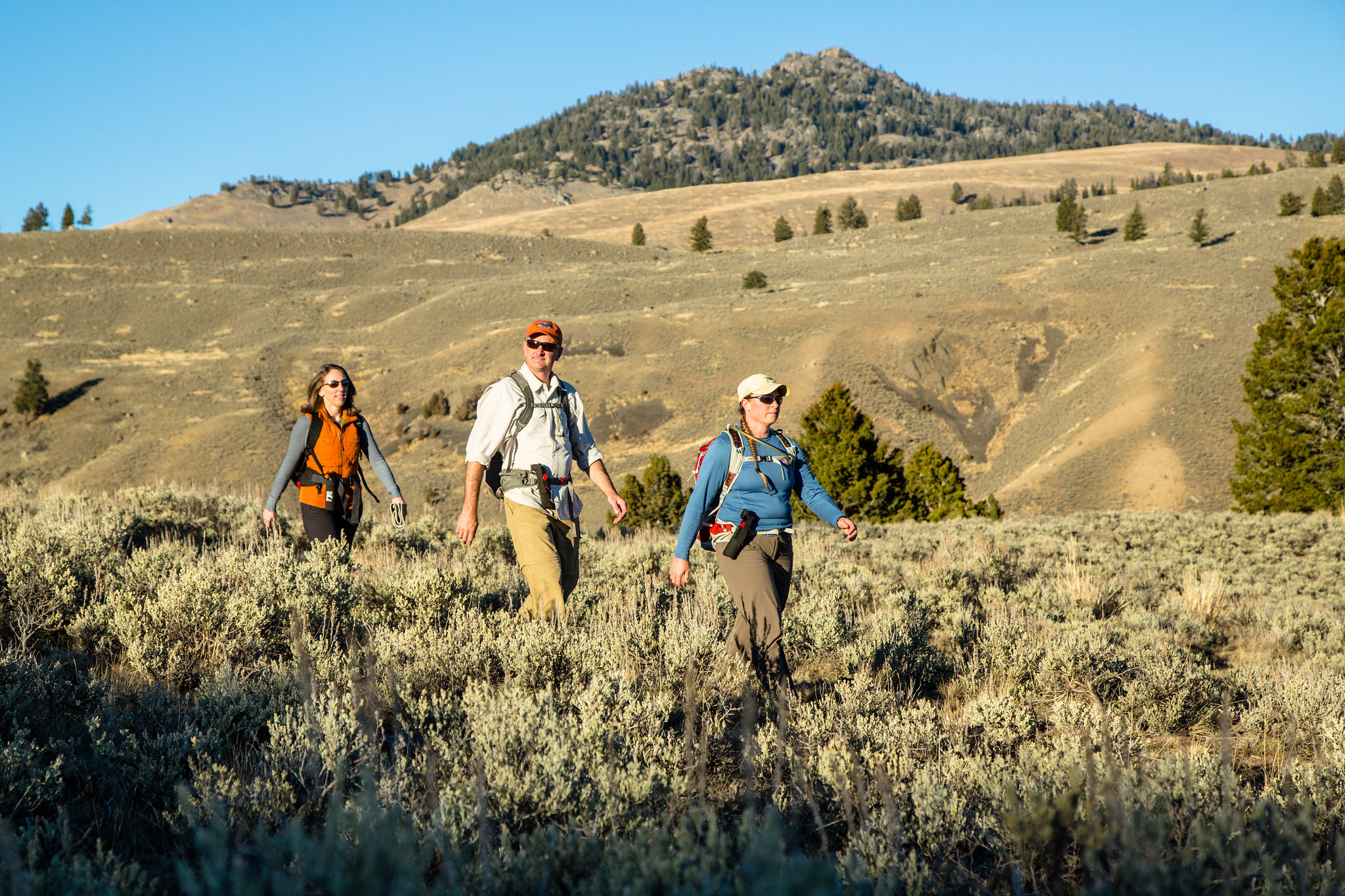
Garnet Hill Loop Trailhead (2K2)
~11 min drive
Situated in Pleasant Valley near Tower Junction, this trailhead provides access to the following trail: Garnet Hill Loop Trail There is very limited parking at this trailhead. However, a large parking lot is located at the Tower Junction Trailhead just to the south. Garnet…
Poacher
~4 min drive
Moderate 13.23-mile backcountry trail with 1,855 ft elevation gain.
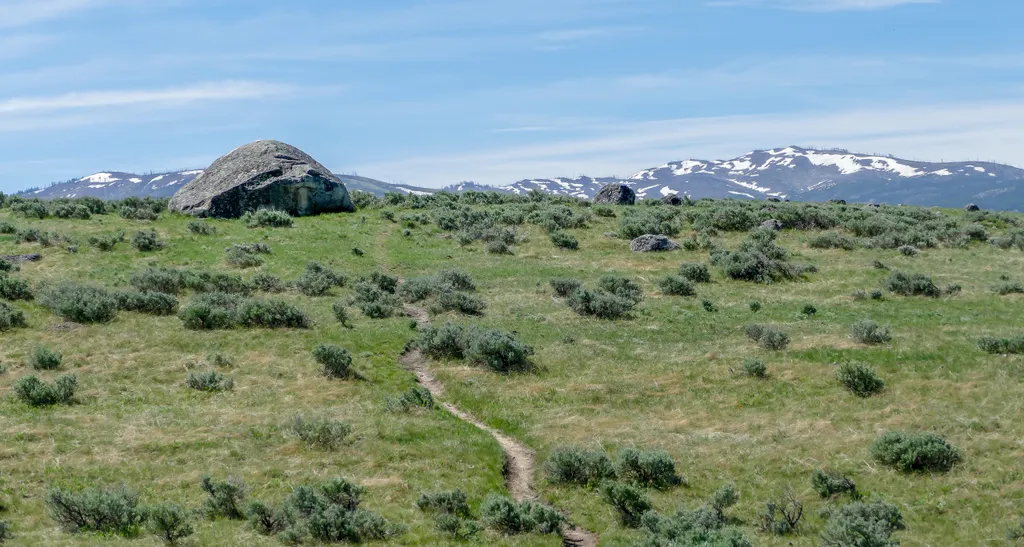
Lamar Valley - Evidence of Glaciers
~11 min drive
<p>Glaciers result when, for a period of years, more snow falls in an area than melts.</p> <p>Once the snow reaches a certain depth, it turns into ice and begins to move under the force of gravity or the pressure of its own weight.</p> <p>During this movement, rocks are picked…
Lost Lake Loop
~12 min drive
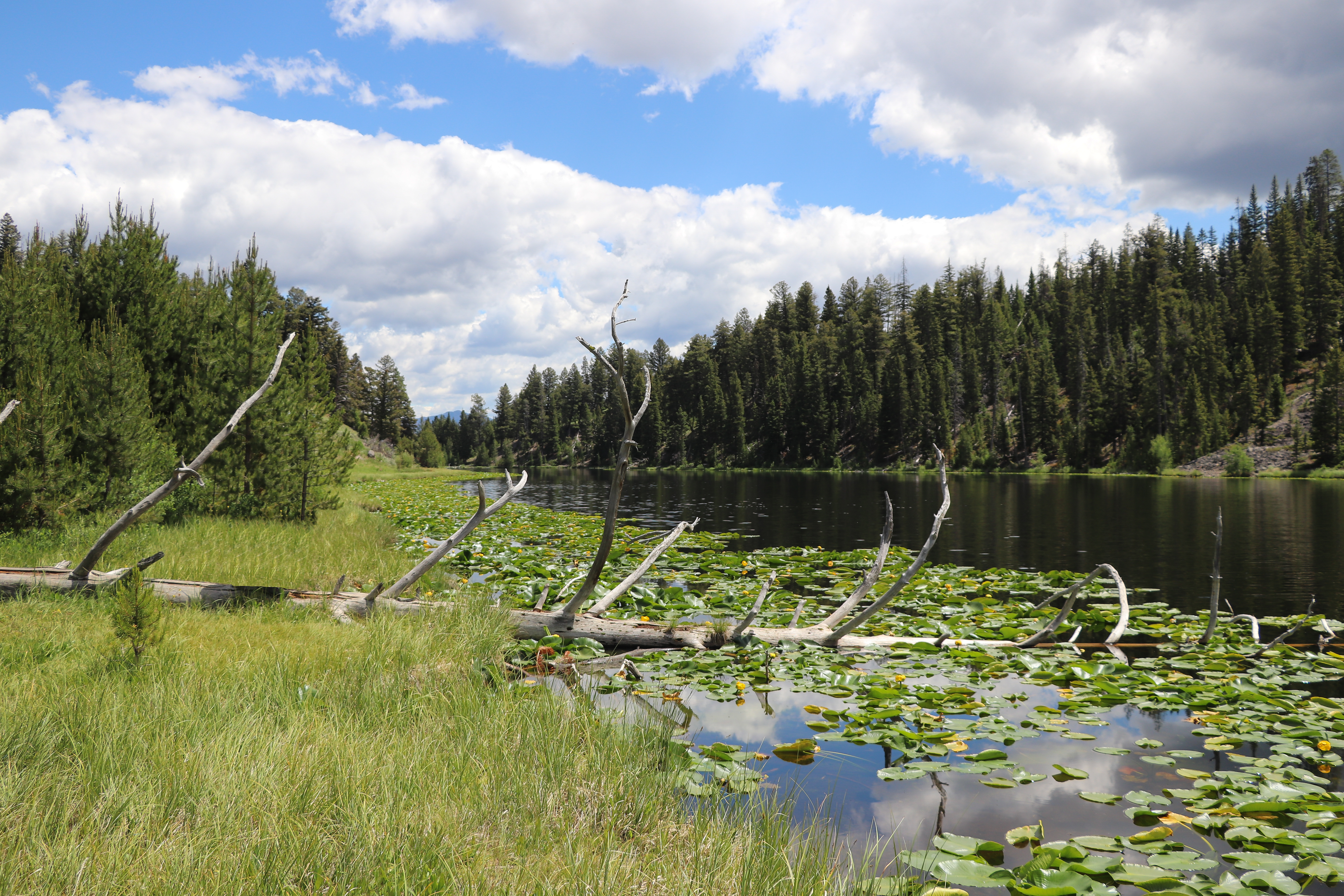
Round trip 2.8 miles (4.6 km), moderate. The trail climbs 300 feet up a forested hillside. At the junction, veer right (west). You reach Lost Lake in 0.2 miles (0.3 km). From there, follow the trail through a ravine to the Petrified Tree parking area. From the parking lot, th…

Lost Lake
~12 min drive
6.6 mi · Moderate
Telephone Basin
~8 min drive
Remote 18-mile alpine basin trek with 2,185 ft elevation gain.
Slough Creek Campground Entrance Vault Toilet
~11 min drive
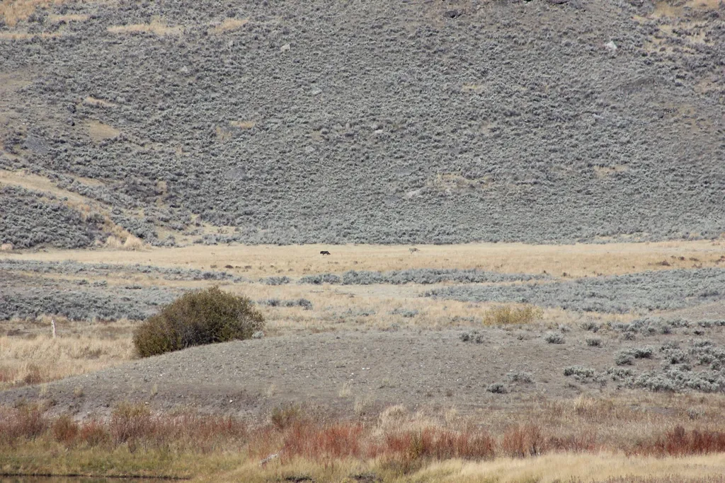
A worthwhile stop near Wyoming.
Buffalo Plateau
~3 min drive
Easy plateau walk with expansive Montana views and minimal elevation gain.
Also worth it near here