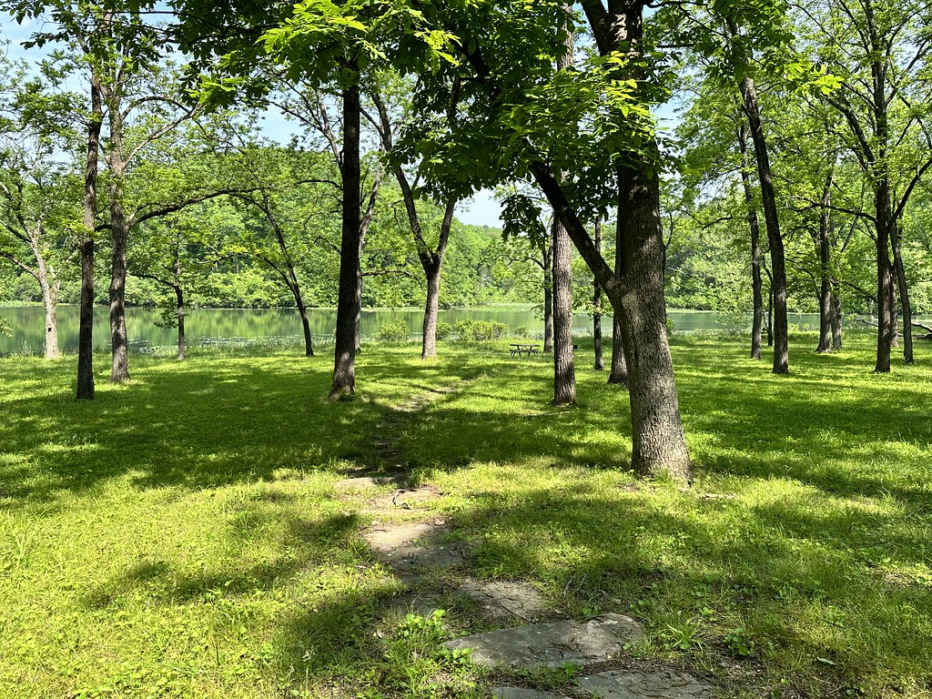
South Prong Jacks Fork
- 13.4 mi
- distance
- 1,203 ft
- high point
- Mar–Jun, Sep–Nov
- best months
South Prong Jacks Fork is a 13-mile paddling stretch in southern Missouri, about 1.6 miles from Clear Springs and roughly 13 miles from Willow Springs. The stream flows year-round, and USGS models an average flow of about 85 cubic feet per second with a gradient of about 21.6 feet per mile. Spring and fall are the most comfortable times to paddle. Typical averages from a nearby weather station show May highs around 76°F and October highs near 69°F, while July and August average in the upper 80s. North Prong Jacks Fork, another paddling route, lies about 2.6 miles away.
Local outfitters
- Windy's Floats27 mi away
- Two Rivers Canoe Rental31 mi away
Not on Roamze yet. Their page has how to reach them.
Source: Roamze catalog (indexable pages within 10 miles, PostGIS distance)
 Jacks ForkCanoeing · ~22 min drivePhoto: jsigler, CC BY 2.0 (via Wikimedia Commons)
- South ProngsBoat launch · ~9 min drive
- Alley SpringTubing · ~37 min drive
 Big Piney RiverCanoeing · ~23 min drivePhoto: Inklein, CC BY-SA 4.0 (via Wikimedia Commons)
- ProngsBoat launch · ~10 min drive
- AkersTubing · ~43 min drive
 Eleven Point RiverCanoeing · ~26 min drivePhoto: Charlie Llewellin from Austin, USA, CC BY-SA 2.0 (via Wikimedia Commons)
- Sims Valley State Community LakeBoat launch · ~10 min drive
- PulltiteTubing · ~44 min drive
 Current RiverCanoeing · ~43 min drivePhoto: Michael Gäbler, CC BY 3.0 (via Wikimedia Commons)
Best time to visit South Prong Jacks Fork
Best months: March–June and September–November. Best months have typical highs of 55–85 °F, lows of 30 °F or warmer (32 °F where the station doesn't record snow), at most one snowy day and no more than 12 wet days.
Jan
43° / 23°
Feb
48° / 27°
Mar
57° / 35°
Apr
68° / 45°
May
76° / 55°
Jun
83° / 63°
Jul
88° / 67°
Aug
87° / 65°
Sep
80° / 57°
Oct
69° / 46°
Nov
57° / 35°
Dec
46° / 27°
Typical high / low (°F) and days with rain or snow, 1991–2020. Measured at Summersville 3 Se, MO, 11.9 mi away at 1,236 ft. This station doesn't record snowfall. Source: NOAA NCEI U.S. Climate Normals 1991–2020.