Sims Valley State Community Lake
- Mar–Apr, Jun
- best months
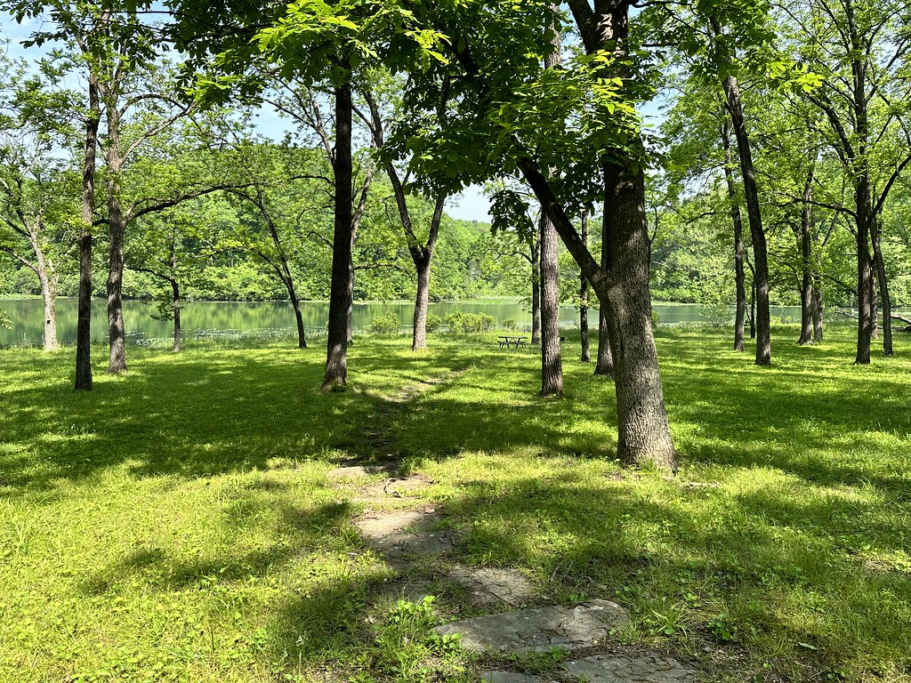
Sims Valley State Community Lake is a boat launch in Missouri, about 6.5 miles from the town of Willow Springs. It serves as a put-in for getting a boat onto the water in this corner of the state. For comfortable weather, aim for late spring or early fall. Typical averages from a nearby weather station in West Plains show May highs around 76°F and September highs around 81°F, while July peaks near 89°F. Paddlers looking for moving water can find the South Prong Jacks Fork about 5.8 miles away and the North Prong Jacks Fork about 8.3 miles away, both canoeing routes.
Source: Roamze catalog (indexable pages within 10 miles, PostGIS distance)
 Eleven Point RiverCanoeing · ~18 min drivePhoto: Charlie Llewellin from Austin, USA, CC BY-SA 2.0 (via Wikimedia Commons)
- South ProngsBoat launch · ~13 min drive
- Alley SpringTubing · ~41 min drive
 Jacks ForkCanoeing · ~26 min drivePhoto: jsigler, CC BY 2.0 (via Wikimedia Commons)
- ProngsBoat launch · ~14 min drive
 Big Piney RiverCanoeing · ~28 min drivePhoto: Inklein, CC BY-SA 4.0 (via Wikimedia Commons)
- Buck HollowBoat launch · ~18 min drive
- South Prong Jacks ForkCanoeing · ~10 min drive
- BluffviewBoat launch · ~20 min drive
- North Prong Jacks ForkCanoeing · ~14 min drive
Best time to visit Sims Valley State Community Lake
Best months: March–April, June and September–November. Best months have typical highs of 55–85 °F, lows of 30 °F or warmer (32 °F where the station doesn't record snow), at most one snowy day and no more than 12 wet days.
Jan
44° / 25°
8 wet
Feb
50° / 28°
9 wet
Mar
59° / 36°
11 wet
Apr
69° / 46°
11 wet
May
76° / 55°
13 wet
Jun
84° / 63°
11 wet
Jul
89° / 67°
11 wet
Aug
88° / 66°
10 wet
Sep
81° / 57°
9 wet
Oct
70° / 46°
10 wet
Nov
57° / 36°
9 wet
Dec
47° / 28°
8 wet
Typical high / low (°F) and days with rain or snow, 1991–2020. Measured at West Plains Muni Ap, MO, 9.5 mi away at 1,223 ft. This station doesn't record snowfall. Source: NOAA NCEI U.S. Climate Normals 1991–2020.
Map and trail data © OpenStreetMap contributors
